Farragut in Knox County, Tennessee — The American South (East South Central)
Archibald Roane
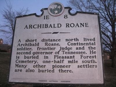
Photographed by Tom Bosse, March 6, 2010
1. Archibald Roane Marker
Erected by Tennessee Historical Commission. (Marker Number 1E8.)
Topics and series. This historical marker is listed in these topic lists: Cemeteries & Burial Sites • Government & Politics • Patriots & Patriotism • Settlements & Settlers. In addition, it is included in the Tennessee Historical Commission series list.
Location. 35° 53.066′ N, 84° 9.209′ W. Marker is in Farragut, Tennessee, in Knox County. It is at the intersection of Kingston Pike and Concord Road, on the right when traveling east on Kingston Pike. Touch for map. Marker is in this post office area: Knoxville TN 37932, United States of America. Touch for directions.

Regionally, this marker is in East Tennessee and in Greater Knoxville. It is also in the American South, specifically in the Upper South, in Appalachia, and specifically in Southern Appalachia.
this page online
Other nearby markers. At least 8 other markers are within walking distance of this marker: Battle of Campbell's Station (approx. 0.2 miles away); David Glasgow Farragut (approx. 0.2 miles away); Loveville (approx. 0.2 miles away); After the Civil War (approx. half a mile away); During the Civil War (approx. half a mile away); David Campbell builds a station (approx. half a mile away); Settlement of the Frontier (approx. half a mile away); Memorial for Cofounders of Campbell Station (approx. half a mile away). Touch for a list and map of all markers in Farragut.
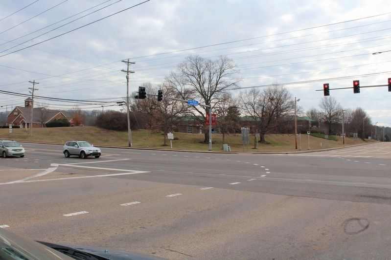
Photographed by Tom Bosse, December 26, 2016
2. Archibald Roane Marker
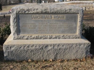
Photographed by Tom Bosse, March 8, 2010
3. Archibald Roane 1759-1819
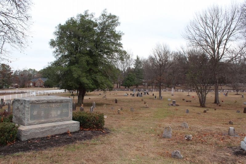
Photographed by Tom Bosse, December 26, 2016
4. Archibald Roane 1759-1819
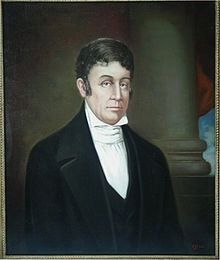
Photographed by Tom Bosse
5. Archibald Roane Marker
Photographed by Tom Bosse, March 8, 2010
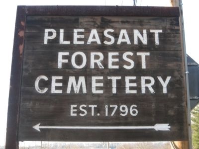
6. Pleasant Forest Cemetery
Credits. This page was last revised on January 24, 2017. It was originally submitted on March 13, 2010, by Tom Bosse of Jefferson City, Tennessee. This page has been viewed 1,673 times since then and 24 times this year. Photos: 1. submitted on March 13, 2010, by Tom Bosse of Jefferson City, Tennessee. 2. submitted on January 14, 2017, by Tom Bosse of Jefferson City, Tennessee. 3. submitted on March 13, 2010, by Tom Bosse of Jefferson City, Tennessee. 4, 5. submitted on January 14, 2017, by Tom Bosse of Jefferson City, Tennessee. 6. submitted on March 13, 2010, by Tom Bosse of Jefferson City, Tennessee. • Bill Pfingsten was the editor who published this page.
