Near Gaffney in Cherokee County, South Carolina — The American South (South Atlantic)
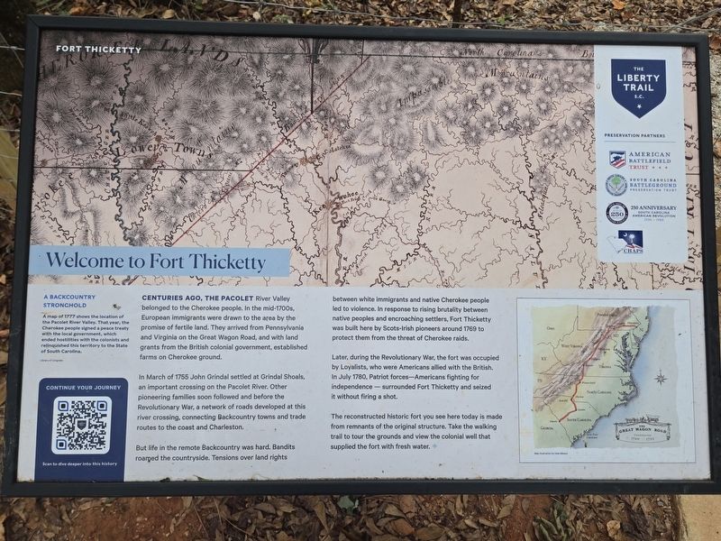
Welcome to Fort Thicketty
Fort Thicketty
| — | The Liberty Trail S.C. | — |
Photographed by Mark Parker, October 5, 2025
1. Welcome to Fort Thicketty Marker
(Preface)
A Backcountry Stronghold
A map of 1777 shows the location of the Pacolet River Valley. That year, the Cherokee people signed a peace treaty with the local government, which ended hostilities with the colonists and relinquished this territory to the State of South Carolina.
Library of Congress
Centuries ago, the Pacolet River Valley belonged to the Cherokee people. In the mid-1700s, European immigrants were drawn to the area by the promise of fertile land. They arrived from Pennsylvania and Virginia on the Great Wagon Road, and with land grants from the British colonial government, established farms on Cherokee ground.
In March of 1755 John Grindal settled at Grindal Shoals, an important crossing on the Pacolet River. Other pioneering families soon followed and before the Revolutionary War, a network of roads developed at this river crossing, connecting Backcountry towns and trade routes to the coast and Charleston.
But life in the remote Backcountry was hard. Bandits roamed the countryside. Tensions over land rights between white immigrants and native Cherokee people led to violence. In response to
this page online
Later, during the Revolutionary War, the fort was occupied by Loyalists, who were Americans allied with the British. In July 1780, Patriot forces—Americans fighting for independence—surrounded Fort Thicketty and seized it without firing a shot.
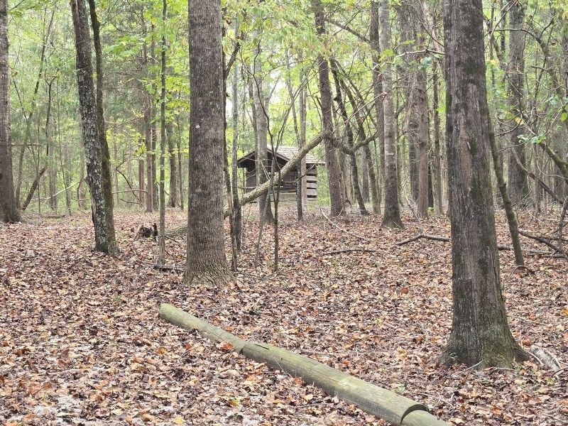
The reconstructed historic fort you see here today is made from remnants of the original structure. Take the walking trail to tour the grounds and view the colonial well that supplied the fort with fresh water.
The Great Wagon Road
Map illustration by Dale Watson
Erected 2025 by American Battlefield Trust, South Carolina Battleground Preservation Trust, 250th Anniversary South Carolina American Revolution, CHAPS.
Topics. This historical marker is listed in these topic lists: Communications • Forts and Castles • Settlements & Settlers • Wars, US Indian. A significant historical year for this entry is 1769.
Location. 34° 59.108′ N, 81° 42.761′ W. Marker is near Gaffney, South Carolina,
Photographed by Mark Parker, October 5, 2025
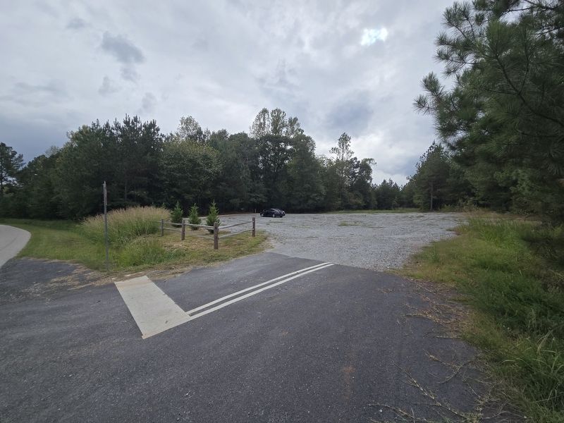
2. Gravel parking lot off State Road S-11-584. The marker is at the trailhead.

Regionally, this marker is in Upstate and in the Foothills. It is also in the American South, specifically in the Deep South, in Appalachia, and specifically in Southern Appalachia. Globally, it is in North America, the Western Hemisphere, the Western World, and the Anglosphere. Historically, it finds itself in what was once the original Cherokee Nation, the territory of the Mississippian Culture, one of the original Thirteen Colonies, one of the Confederate States of America, and the Antebellum South.
Other nearby markers. At least 8 other markers are within 5 miles of this marker, measured as the crow flies: A Loyalist Base (here, next to this marker); A Bloodless Victory (within shouting distance of this marker); Thicketty Fort Project
Photographed by Mark Parker, October 5, 2025
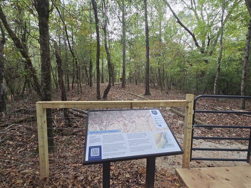
3. Welcome to Fort Thicketty Marker at the trailhead
Photographed by Mark Parker, October 5, 2025
4. Fort Thicketty well in the background
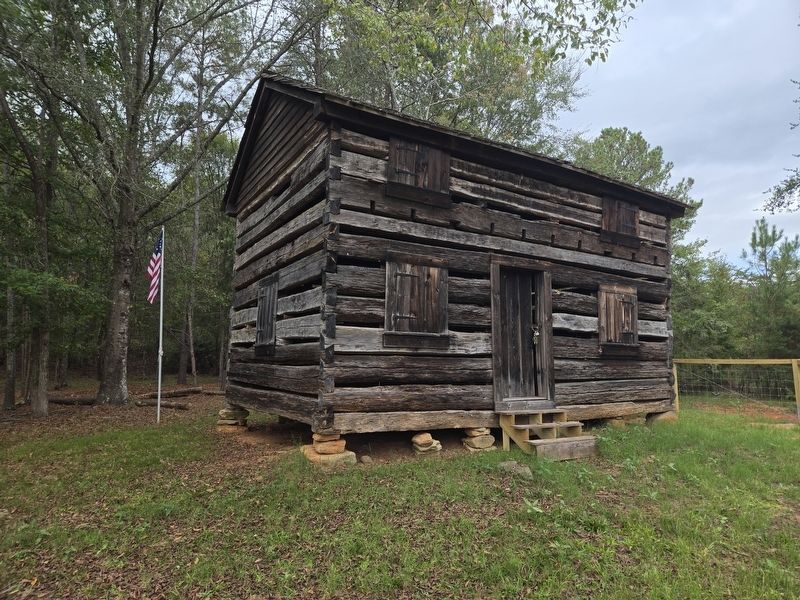
Photographed by Mark Parker, October 5, 2025
5. Fort Thicketty remains
Credits. This page was last revised on October 10, 2025. It was originally submitted on October 6, 2025, by Mark Parker of Hickory, North Carolina. This page has been viewed 168 times since then and 97 times this year. Photos: 1, 2, 3, 4, 5. submitted on October 6, 2025, by Mark Parker of Hickory, North Carolina. • Bernard Fisher was the editor who published this page.
