Near Brookhaven in DeKalb County, Georgia — The American South (South Atlantic)
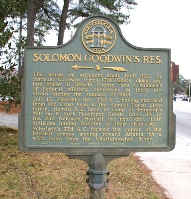
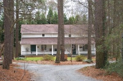
Solomon Goodwin’s Res.
<------<<<<
July 18. Hascall’s div., 23d A.C. having marched from Old Cross Keys & the Samuel House plantation, turned S.E. here to camp at Johnston’s Mill on N. Fork Peachtree Creek. Cox’s div. of the 23d followed Hascall the next day, both divisions having Decatur as their next objective.
Schofield’s 23d A.C. formed the center of the Federal armies moving toward Atlanta on a wide front from the Chattahoochee River.
Erected 1954 by Georgia Historical Commission. (Marker Number 044-12.)
Topics and series. This historical marker is listed in this topic list: War, US Civil. In addition, it is included in the Georgia Historical Society series list. A significant historical month for this entry is July 1864.
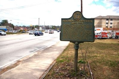
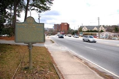
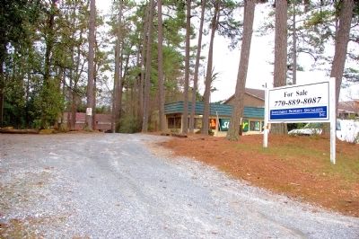
Location. 33° 51.45′ N, 84° 20.533′ W. Marker is near Brookhaven, Georgia, in DeKalb County. Marker is on Peachtree Road (Georgia Route 141) 0.1 miles North Druid Hills Road, on the right when traveling north. Touch for map. Marker is at or near this postal address: 3931 Peachtree Road NE, Atlanta GA 30319, United States of America. Touch for directions.
Other nearby markers. At least 8 other markers are within 3 miles of this marker, measured as the crow flies. Brookhaven Historic District (approx. 0.2 miles away); Oglethorpe University (approx. 1.3 miles away); The Samuel House Plantation (approx. 1½ miles away); Wm. Johnston's Mill (approx. 1.6 miles away); Site of Old Cheshire Bridge (approx. 2.3 miles away); 4th A.C. at Buckhead (approx. 2.3 miles away); Sardis Methodist Church (approx. 2.4 miles away); Meet You at the Buck's Head / The Commercial Core Reimagined (approx. 2.4 miles away).
Credits. This page was last revised on February 8, 2023. It was originally submitted on March 13, 2010, by David Seibert of Sandy Springs, Georgia. This page has been viewed 1,848 times since then and 43 times this year. Photos: 1, 2, 3, 4, 5. submitted on March 13, 2010, by David Seibert of Sandy Springs, Georgia. • Craig Swain was the editor who published this page.
