Wright-Patterson Airforce Base in Greene County, Ohio — The American Midwest (Great Lakes)
Huffman MetroPark
—
Five Rivers MetroPark
—
Photographed by Craig Doda, October 4, 2025
1. Huffman MetroPark Marker
Inscription.
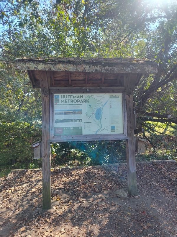
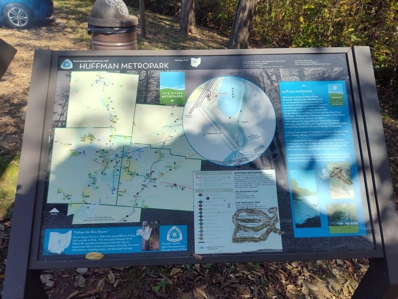
You Are At Overlook Entrance
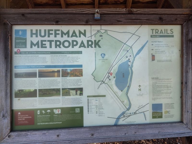
Welcome To Huffman Metropark
Huffman MetroPark connects cyclists to the Miami Valley's paved trail network. Nature enthusiasts will discover year-round bird watching. Red-tailed hawks and great horned owls make Huffman MetroPark their home; in spring and fall many migratory birds make stopovers. Take a moment at the Kirtland Camp historical marker. Members of the Mormon community camped for a month along the banks of the Mad River on their way to Missouri while members worked on a section of the Springfield-Dayton turnpike.
Five Rivers Metroparks
This park is one of the outstanding public locations operated by your Five Rivers MetroParks. Founded in 1963 to serve the greater Dayton area, MetroParks protects thousands of acres of open space and provides year-round recreation, education and conservation opportunities. Locations are available to the public free of charge - made possible by Montgomery County citizen support of a property tax levy.
Experiences At This Location
Huffman Dam
In response to the 1913 Dayton flood, five dams were constructed to protect the Dayton area. Construction
Click or scan to see this page online
on Huffman Dam started in 1919. During the summer of that year, workers discovered a giant trilobite fossil. The Huffman Dam Trilobite is one of the largest complete trilobites ever found. Measuring 14.5 inches by 10.5 inches, it remains on display at the Smithsonian Institute in Washington, D.C.
Lake
The lake at Huffman MetroPark was created by the removal of soil for the construction of the adjacent Huffman Dam after the 1913 flood. Fed by the waters of the Mad River, the lake rises and falls with the operation of the dam. The lake and surrounding habitats attract migrating birds, including many species of ducks, gulls, herons, songbirds, woodpeckers and birds of prey. Non-powered watercraft is allowed on the lake.
Mad River
This scenic stream flows cool, swift and clear during most of the year due to the numerous springs from glacial deposits in west-central Ohio that feed it. The river provides great fishing opportunities with a local population of brown trout, small-mouth bass, large-mouth bass, rock bass, bluegill, crappie and carp. Paddlers can put in upstream and take out before reaching the dam.
Hiking
The three
Photographed by Craig Doda, October 4, 2025
2. Huffman MetroPark Marker
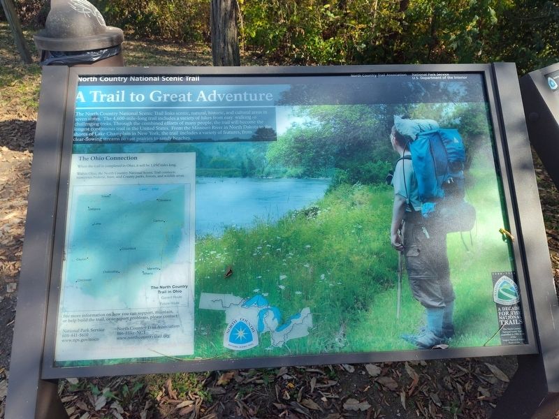
mile trail offers views of the lake and Mad River. The southern section of the dam offers an overview of the park. The Buckeye and North Country Trails pass through Huffman MetroPark. The Buckeye Trail is part of a La4D-mile continuous loop that encircles Ohio. The North Country National Scenic Trail stretches across eight states. These trails link historical and scenic features while providing long-distance hiking.
Picnicking
If you love life outdoors, then pack a picnic and enjoy the beautiful views at Huffman MetroPark. Picnic tables and grills are available on a first come, first served basis. Food just tastes better outdoors, so bring your hot dogs and veggie kebabs and discover the joy of picnicking.
Biking
Connect to the Mad River Trail at the top of Huffman Dam. Take the trail west through Eastwood MetroPark into downtown Dayton. Heading east, connect with Wright-Patterson Air Force Base, the Air Force Museum and Wright Brothers-Huffman Prairie Trail, which extends to Wright State University and Fairborn. MOMBA (MetroParks Mountain Biking Area) provides nine miles of trails, including a beginner trail, tot track, and
Photographed by Craig Doda, October 4, 2025
3. Huffman MetroPark Marker
those for advanced riders as well as restrooms, water and a bike repair station.
Topics. This historical marker is listed in this topic list: Parks & Recreational Areas. A significant historical year for this entry is 1963.
Location. 39° 48.306′ N, 84° 5.607′ W. Marker is in Wright-Patterson Airforce Base, Ohio, in Greene County. It is at the intersection of Lower Valley Pike and Ohio Route 4, on the right when traveling east on Lower Valley Pike. Touch for map. Marker is at or near this postal address: 4090 Lower Valley Pike, Dayton OH 45424, United States of America. Touch for directions.
Regionally, this marker is in Ohio’s Dayton Metro and in the Miami Valley. It is also in the American Midwest and in the Corn Belt. Globally, it is in North America, the Western Hemisphere, the Western World, and the Anglosphere. Historically, it finds itself in what was once the Haudenosaunee (Iroquois) Confederacy, the territory of the Mississippian Culture, and the Northwest Territory.
Credits. This page was last revised on October 13, 2025. It was originally submitted on October 8, 2025, by Craig Doda of Napoleon, Ohio. This page has been viewed 70 times since then and 46 times this year. Photos:1, 2, 3, 4, 5, 6. submitted on October 8, 2025, by Craig Doda of Napoleon, Ohio. • Devry Becker Jones was the editor who published this page.