Marker Logo
THE HISTORICAL
MARKER DATABASE
“Bite-Size Bits of Local, National, and Global History”
Kettering in Montgomery County, Ohio — The American Midwest (Great Lakes)
 

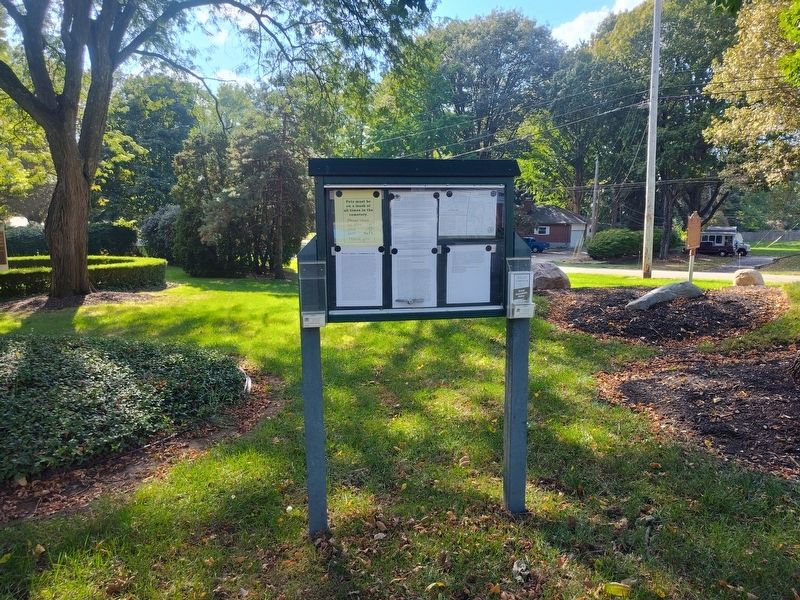
David's Cemetery - Established in 1826
 
 
David's Cemetery - Established in 1826 Marker image. Click for full size.
Photographed by Craig Doda, October 4, 2025
1. David's Cemetery - Established in 1826 Marker
Inscription.
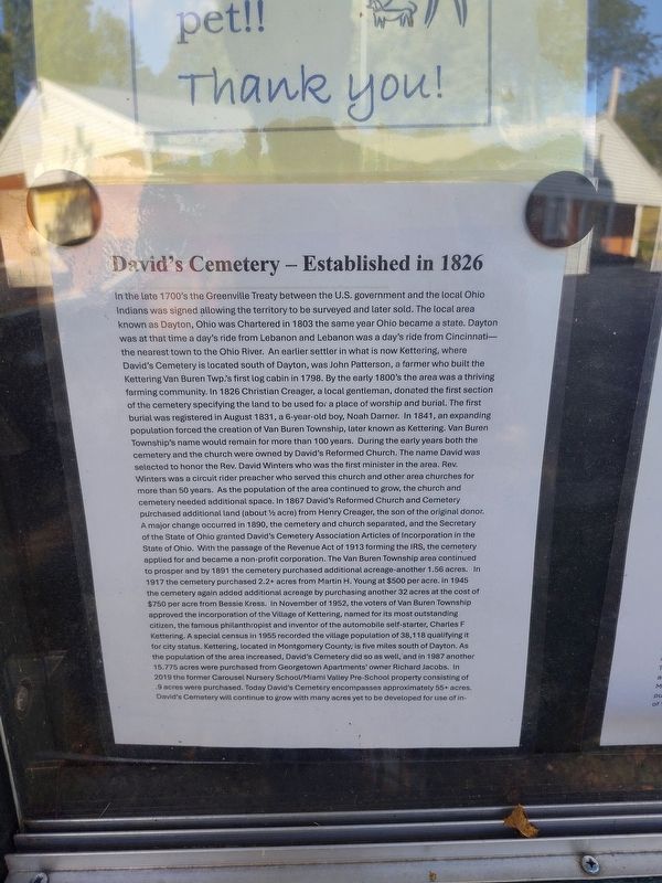
In the late 1700's the Greenville Treaty between the U.S. government and the local Ohio Indians was signed allowing the territory to be surveyed and later sold. The local area known as Dayton, Ohio was Chartered in 1803 the same year Ohio became a state. Dayton was at that time a day's ride from Lebanon and Lebanon was a day's ride from Cincinnati- the nearest town to the Ohio River. An earlier settler in what is now Kettering, where David's Cemetery is located south of Dayton, was John Patterson, a farmer who built the Kettering Van Buren Twp.'s first log cabin in 1798. By the early 1800's the area was a thriving farming community. In 1826 Christian Creager, a local gentleman, donated the first section of the cemetery specifying the land to be used for a place of worship and burial. The first burial was registered in August 1831, a 6-year-old boy, Noah Darner. In 1841, an expanding population forced the creation of Van Buren Township, later known as Kettering. Van Buren Township's name would remain for more than 100 years. During the early years both the cemetery and the church were owned by David's Reformed Church.
Paid Advertisement
Click or scan to see
this page online
The name David was selected to honor the Rev. David Winters who was the first minister in the area. Rev. Winters was a circuit rider preacher who served this church and other area churches for more than 50 years. As the population of the area continued to grow, the church and cemetery needed additional space. In 1867 David's Reformed Church and Cemetery purchased additional land (about 12 acre) from Henry Creager, the son of the original donor. A major change occurred in 1890, the cemetery and church separated, and the Secretary of the State of Ohio granted David's Cemetery Association Articles of Incorporation in the State of Ohio. With the passage of the Revenue Act of 1913 forming the IRS, the cemetery applied for and became a non-profit corporation. The Van Buren Township area continued to prosper and by 1891 the cemetery purchased additional acreage-another 1.56 acres. In 1917 the cemetery purchased 2.2+ acres from Martin H. Young at $500 per acre. In 1945 the cemetery again added additional acreage by purchasing another 32 acres at the cost of $500 per acre. In 1945 the cemetery again added additional acreage by purchasing another
David's Cemetery - Established in 1826 Marker image. Click for full size.
Photographed by Craig Doda, October 4, 2025
2. David's Cemetery - Established in 1826 Marker
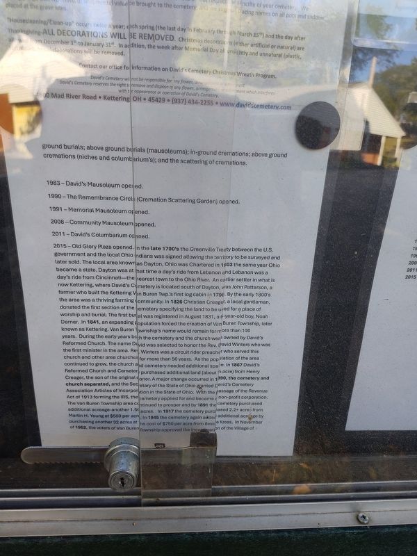
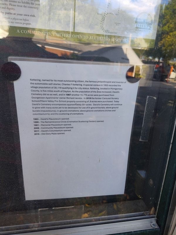
32 acres at the cost of $500peracre. In 1945 the cemetery again added additional acreage by purchasing another 32 acres at the cost of $750 per acre from Bessie Kress. In November of 1952, the voters of Van Buren Township approved the incorporation of the Village of Kettering, named for its most outstanding citizen, the famous philanthropist and inventor of the automobile self-starter, Charles F Kettering. A special census in 1955 recorded the village population of 38,118 qualifying it for city status. Kettering, located in Montgomery County, is five miles south of Dayton. As the population of the area increased, David's Cemetery did so as well, and in 1987 another 15.775 acres were purchased from Georgetown Apartments' owner Richard Jacobs. In 2019 the former Carousel Nursery School/Miami Valley Pre-School property consisting of .9 acres were purchased. Today David's Cemetery encompasses approximately 55+ acres. David's Cemetery will continue to grow with many acres yet to be developed for use of inground burials; above ground burials (mausoleums); in-ground cremations; above ground cremations (niches and columbarium's); and the scattering
David's Cemetery - Established in 1826 Marker image. Click for full size.
Photographed by Craig Doda, October 4, 2025
3. David's Cemetery - Established in 1826 Marker
of cremations.

1983- David's Mausoleum opened.
1990- The Remembrance Circle (Cremation Scattering Garden) opened.
1991- Memorial Mausoleum opened.
2008- Community Mausoleum opened.
2011- David's Columbarium opened.
2015- Old Glory Plaza opened.

 
Topics. This historical marker is listed in this topic list: Cemeteries & Burial Sites. A significant historical month for this entry is August 1831.
 
Location. 39° 40.771′ N, 84° 10.241′ W. Marker is in Kettering, Ohio, in Montgomery County. It is at the intersection of Mad River Road and Young Drive, on the right when traveling north on Mad River Road. Touch for map. Marker is at or near this postal address: 4600 Mad River Rd, Dayton OH 45429, United States of America. Touch for directions.

Regionally, this marker is in Ohio’s Dayton Metro and in the Miami Valley. It is also in the American Midwest and in the Corn Belt. Globally, it is in North America, the Western Hemisphere, the Western World, and the Anglosphere. Historically, it finds itself in what was once the Haudenosaunee (Iroquois) Confederacy, the territory of the Mississippian Culture, and the Northwest Territory.
David's Cemetery - Established in 1826 Marker image. Click for full size.
Photographed by Craig Doda, October 4, 2025
4. David's Cemetery - Established in 1826 Marker


Other nearby markers. At least 8 other markers are within 3 miles of this marker, measured as the crow flies: Mad River Road / Road from Cunningham’s to Mad River (a few steps from this marker); Remembrance Circle (within shouting distance of this marker); David's Cemetery Veterans Memorial (approx. 0.2 miles away); Cassano’s Pizza King (approx. 1.9 miles away); Ohio Department of Natural Resources 75th Anniversary (approx. 2.2 miles away); Normandy Farms (approx. 2.4 miles away); Long-Romspert Homestead (approx. 2.4 miles away); Capt. Don Gentile (approx. 2.4 miles away). Touch for a list and map of all markers in Kettering.
 
 
Credits. This page was last revised on October 13, 2025. It was originally submitted on October 8, 2025, by Craig Doda of Napoleon, Ohio. This page has been viewed 70 times since then and 19 times this year. Photos:   1, 2, 3, 4. submitted on October 8, 2025, by Craig Doda of Napoleon, Ohio. • Devry Becker Jones was the editor who published this page.

m=285888

CeraNet Cloud Computing sponsors the Historical Marker Database.
This website earns income from purchases you make after using our links to Amazon.com. We appreciate your support.
Paid Advertisement
Jul. 29, 2026