Boulder in Garfield County, Utah — The American Mountains (Southwest)
Changing Times
Living on the Land
Photographed by Tom Bosse, June 12, 2025
1. Changing Times Marker
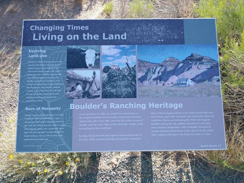
Boulder's Ranching Heritage
If you stood here in 1980, you would have looked down at the irrigated hayfields of local ranches, bright green and often dotted with cattle. From 1889, when the first settlers arrived in Boulder, until the early 1980s, nearly all Boulder families relied on ranching for their livelihood.
Earning a living from the land required constant hard work. In the early 1900s, ranchers hand-dug and regularly maintained miles of floor irrigation ditches. Every family owned milk cows and chickens, grew their own food, and canned their fruits and vegetables. Tractors arrived during the 1950s and irrigation sprinklers during the '60s, adding conveniences to the daily work. Ranchers ranged their cattle on Boulder Mountain in summer and moved them down to the canyons for the winter, often camping with them in the desert for weeks at a time.
Evolving Land Use
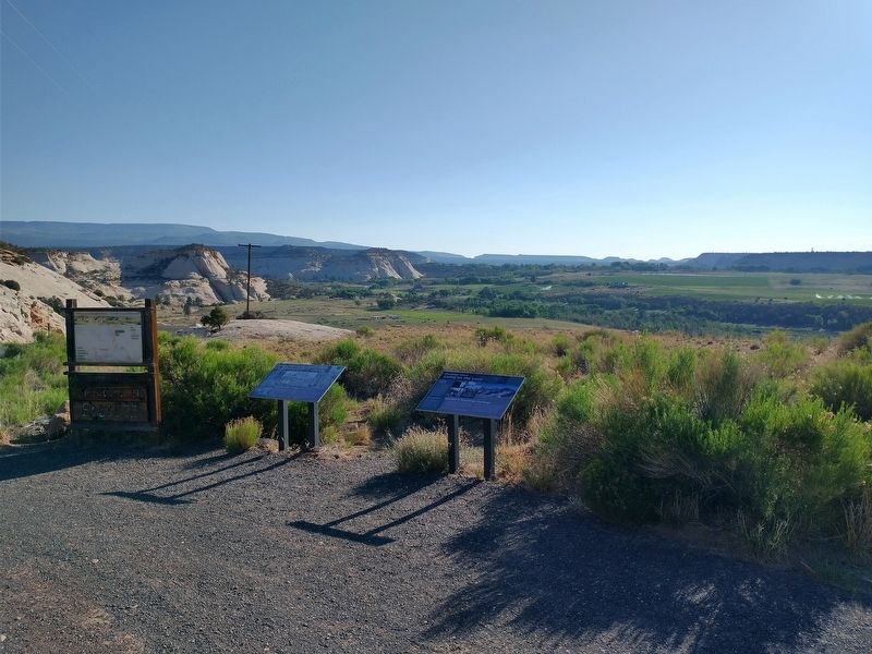
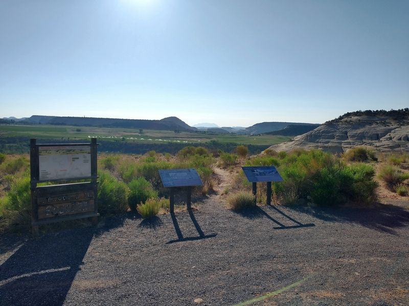
During the 1980s, various pressures on the regional cattle industry led many Boulder ranchers to give up ranching. This vista reflects that change - many of the valley's former hay fields, no longer irrigated, have returned to drought-tolerant plants.
this page online
Born of Necessity
Boulder ranchers used juniper posts from land clearing to build stake-and-rider, or ripgut, fencing that didn't require digging postholes in the rocky soil. Leaning long poles (riders) against short supports (stakes), they constructed "horse high, bull stout, pig tight" fencing without store-bought hardware. You can still see some of the original fencing around town.
Erected by Scenic Byway 12.
Topics. This historical marker is listed in these topic lists: Agriculture • Industry & Commerce. A significant historical year for this entry is 1980.
Location. 37° 53.412′ N, 111° 26.802′ W. Marker is in Boulder, Utah, in Garfield County. It is on Utah Route 12, on the right when traveling north. Touch for map. Marker is in this post office area: Boulder UT 84716, United States of America. Touch for directions.

Regionally, this marker is in Canyon
Photographed by Tom Bosse, June 12, 2025
2. Changing Times Marker
Marker is on the right.

Other nearby markers. At least 8 other markers are within 12 miles of this marker, measured as the crow flies: Boulder Utah (a few steps from this marker); The Coombs Site: A 12th Century Puebloan Village (approx. 1.9 miles away); Paving Boulder Mountain Road (approx. 9.7 miles away); Across A Vast Horizon (approx. 9.7 miles away); View from Head of the Rocks (approx. 9.9 miles away); Building the Million-dollar Road (approx. 9.9 miles away); Conserving Wildness (approx. 9.9 miles away); Old Boulder Mail Trail (approx. 11.4 miles away). Touch for a list and map of all markers in Boulder.
Photographed by Tom Bosse, June 12, 2025
3. Changing Times Marker
Marker is on the right.
Photographed by Tom Bosse, June 12, 2025
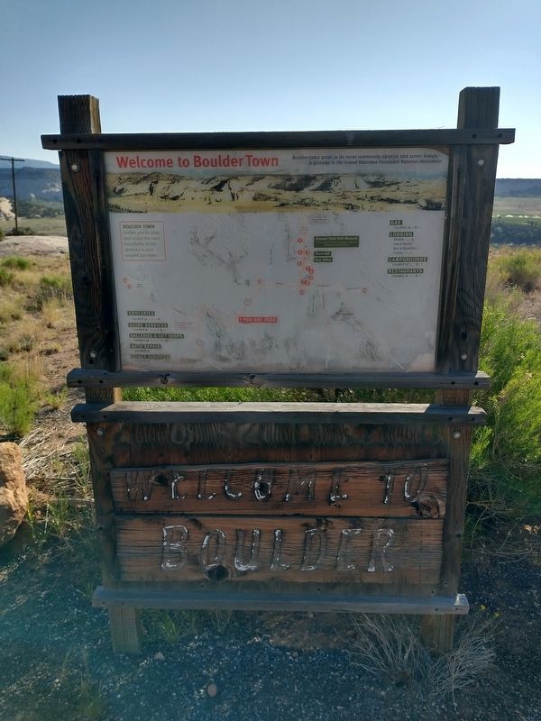
4. Welcome to Boulder
Credits. This page was last revised on October 9, 2025. It was originally submitted on October 9, 2025, by Tom Bosse of Jefferson City, Tennessee. This page has been viewed 42 times since then and 12 times this year. Photos: 1, 2, 3, 4. submitted on October 9, 2025, by Tom Bosse of Jefferson City, Tennessee. • Andrew Ruppenstein was the editor who published this page.
