
Boulder in Garfield County, Utah — The American Mountains (Southwest)
Boulder Utah
A Town Apart

Photographed by Tom Bosse, June 12, 2025
1. Boulder Utah Marker
Coping with Isolation
Rolling smoothly over Highway 12, it can be hard to grasp just how isolated the town of Boulder was until very recently. Picture, if you can, a time here before pavement and electricity. A time when a wagon ride to Escalante took three, bone-jarring days. For the town of Boulder, that was not so long ago.
Boulder was the last incorporated town in the continental U.S. to receive its mail by mule train. Only in 1940, when the Civilian Conservation Corps finished building the road between Escalante and Boulder, did Boulder receive its mail year-round by automobile. During the 1930s, the CCC built another key road connecting Boulder with Torrey - the section of Highway 12 that traverses Boulder Mountain.
Even then, snow and mud closed the Boulder Mountain road for at least six months every year. This way of life ended in 1985, when road crews finished paving Highway 12 over Boulder Mountain.
Boulder Mail Trail
Before the CCC built the roads that connected Boulder with the outside world, the Boulder Mail Trail offered the quickest route from Boulder to Escalante. The trail made a bee-line between
this page online
Lighting up the Town
Though Franklin Delano Roosevelt created the Rural Electrification Administration in 1935, community-wide electricity didn't arrive in Boulder until 1947. Homes in Boulder and Salt Gulch first received electricity in 1953. Now the Boulder Hydro-plant, built in 1958, generates roughly 25 million kilowatt-hours of electricity each year, enough to power more than 2,500 households.
Erected by Scenic Byway 12.
Topics. This historical marker is listed in these topic lists: Roads & Vehicles • Settlements & Settlers. A significant historical year for this entry is 1940.
Location. 37° 53.406′ N, 111° 26.805′ W. Marker is unreadable. Marker is in Boulder, Utah, in Garfield County. It is on Utah Route 12, on the right when traveling north. Touch for map. Marker is in this post office area: Boulder UT 84716, United States of America. Touch for directions.

Regionally, this marker
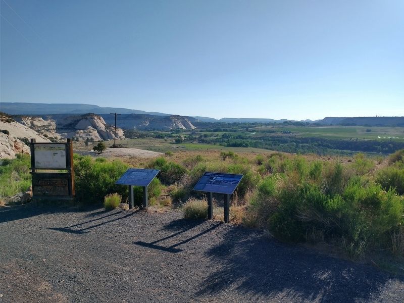
Photographed by Tom Bosse, June 12, 2025
2. Boulder Utah Marker
Marker on the left.

Other nearby markers. At least 8 other markers are within 12 miles of this location, measured as the crow flies: Changing Times (a few steps from this marker); The Coombs Site: A 12th Century Puebloan Village (approx. 1.9 miles away); Paving Boulder Mountain Road (approx. 9.7 miles away); Across A Vast Horizon (approx. 9.7 miles away); View from Head of the Rocks (approx. 9.9 miles away); Building the Million-dollar Road (approx. 9.9 miles away); Conserving Wildness (approx. 9.9 miles away); Old Boulder Mail Trail (approx. 11.4 miles away). Touch for a list and map of all markers in Boulder.
Also see . . . Boulder. (Submitted on October 9, 2025, by Tom Bosse of Jefferson City, Tennessee.)
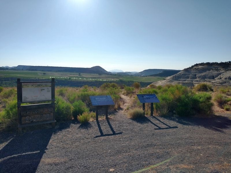
Photographed by Tom Bosse, June 12, 2025
3. Boulder Utah Marker
Marker on the left.

Photographed by Tom Bosse, June 12, 2025
4. Welcome to Boulder
Credits. This page was last revised on October 9, 2025. It was originally submitted on October 9, 2025, by Tom Bosse of Jefferson City, Tennessee. This page has been viewed 60 times since then and 22 times this year. Photos: 1, 2, 3, 4. submitted on October 9, 2025, by Tom Bosse of Jefferson City, Tennessee. • Andrew Ruppenstein was the editor who published this page.
