Angra do Heroísmo, Açores, Portugal — Southwestern Europe (Iberian Peninsula)
Estaleiro Naval
⎯⎯⎯
Shipyard
Photographed by Shaw Zavoshy, October 7, 2025
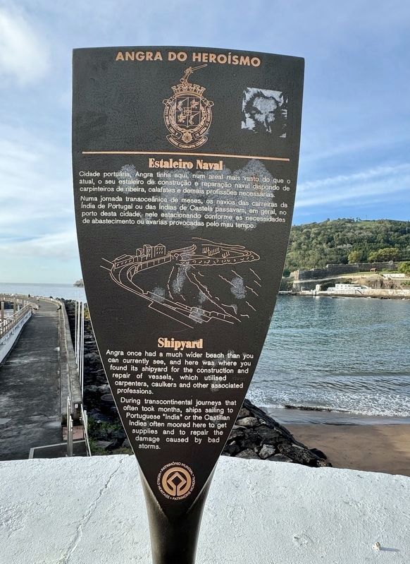
1. Estaleiro Naval / Shipyard Marker

Estaleiro Naval
Cidade portuária, Angra tinha aqui, num areal mais vasto do que o atual, o seu estaleiro de construção e reparação naval dispondo de carpinteiros de ribeira, calafates e demais profissões necessárias. Numa jornada transocelinica de meses, os navios das carreiras da India de Portugal ou das Indias de Castela passavam, em geral, no porto desta cidade, nele estacionando conforme as necessidades de abastecimento ou avarias provocadas pelo mau tempo.
Shipyard
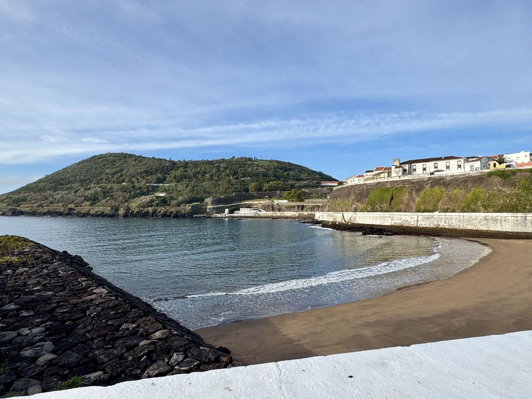
Angra once had a much wider beach than you can currently see, and here was where you found its shipyard for the construction and repair of vessels, which utilised carpenters, caulkers and other associated professions. During transcontinental journeys that often took months, ships sailing to Portuguese "India" or the Castilian Indies often moored here to get supplies and to repair the damage caused by bad storms.
Topics. This historical marker is listed in this topic list: Waterways & Vessels.
Location. 38° 39.226′ N, 27° 13.154′ W. Marker is in Angra do Heroísmo, Açores. It is at
this page online

Regionally, it is in the North Atlantic Region, in Europe, in the European Union, in Atlantic Europe, on the Iberian Peninsula, in the Schengen Area, and in the Western World. Historically, it finds itself in what was once Portuguese colonies and also the Roman Empire.
Other nearby markers. At least one other marker is within walking distance of this marker: Igreja da Misericórdia / Church of Misericórdia (about 90 meters away, measured in a direct line).
Photographed by Shaw Zavoshy, October 7, 2025
2. View of beach from Estaleiro Naval / Shipyard Marker
Credits. This page was last revised on October 9, 2025. It was originally submitted on October 9, 2025, by Andrew Ruppenstein of Lamorinda, California. This page has been viewed 102 times since then and 61 times this year. Photos: 1, 2. submitted on October 9, 2025, by Andrew Ruppenstein of Lamorinda, California.
