Near Yorkton in Cana No. 214, Saskatchewan — The Prairie Region (North America)
Crater Lake
Photographed by Jimmy Emerson, Sept 2023
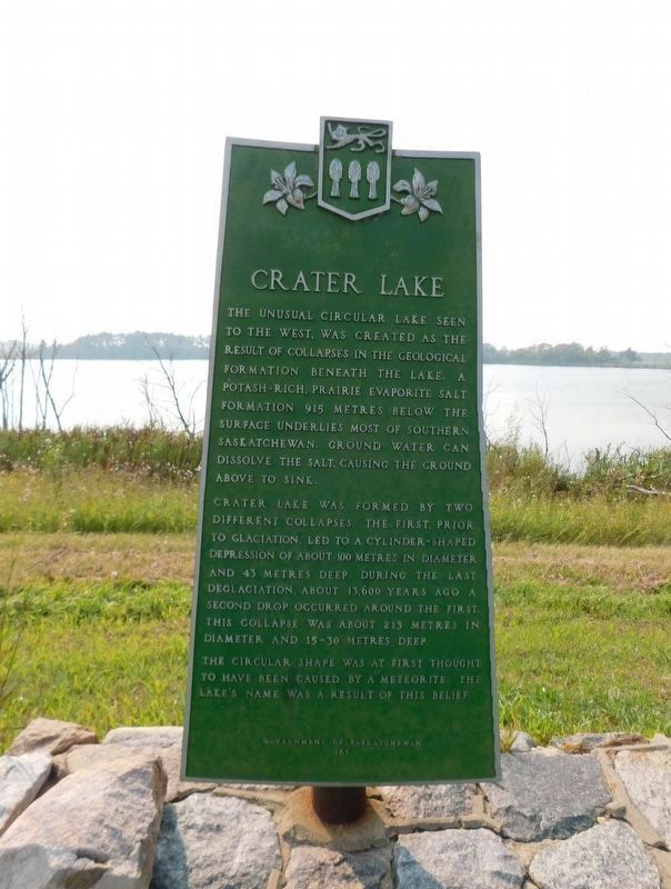
1. Crater Lake Marker
The unusual circular lake seen to the west, was created as the result of collapses in the geological formation beneath the lake. A potash-rich, prairie evaporite salt formation 915 metres below the surface underlies most of southern Saskatchewan. Ground water can dissolve the salt, causing the ground above to sink.
Crater Lake was formed by two different collapses. The first, prior to glaciation, led to a cylinder-shaped depression of about 100 metres in diameter and 43 metres deep. During the last deglaciation, about 13,600 years ago a second drop occurred around the first. This collapse was about 213 metres in diameter and 15-30 metres deep.
The circular shape was at first thought to have been caused by a meteorite. The lake's name was a result of this belief.
Erected by Government of Saskatchewan. (Marker Number 165.)
Topics. This historical marker is listed in this topic list: Natural Features.
Location. 50° 57.104′ N, 102° 27.068′ W. Marker is near Yorkton, Saskatchewan, in Cana No. 214. It is on SK Highway 9 (Saskatchewan Route 9), on the right
this page online

Regionally, this marker is in Southeast Saskatchewan. It is also in the Prairies. Globally, it is in North America, the Western Hemisphere, the Western World, and the Anglosphere. Historically, it finds itself in what was once a British colony and also Rupert’s Land.
Photographed by Jimmy Emerson, Sept 2023
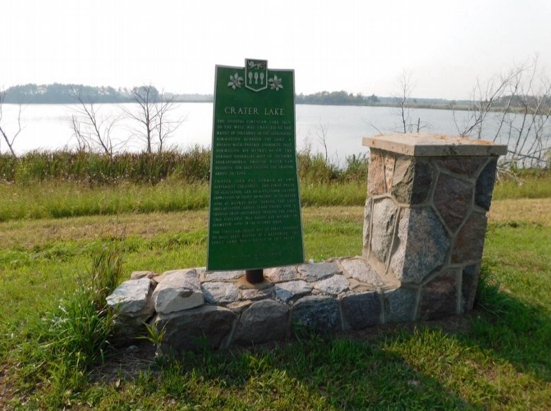
2. Crater Lake Marker
Credits. This page was last revised on August 11, 2026. It was originally submitted on October 11, 2025, by Jimmy Emerson of Dalton, Georgia. This page has been viewed 139 times since then and 114 times this year. Photos: 1, 2. submitted on October 11, 2025, by Jimmy Emerson of Dalton, Georgia. • Andrew Ruppenstein was the editor who published this page.
