Near Spotsylvania Courthouse in Spotsylvania County, Virginia — The American South (Mid-Atlantic)
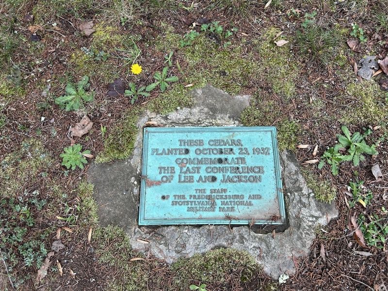
These Cedars
Photographed by Steve Stoessel, October 12, 2025
1. These Cedars Marker
These cedars planted October 23, 1937 commemorate the last conference of Lee and Jackson.
Erected 1937 by The staff of the Fredericksburg and Spotsylvania National Military Park.
Topics. This historical marker is listed in this topic list: War, US Civil. A significant historical date for this entry is May 1, 1863.
Location. 38° 17.697′ N, 77° 37.525′ W. Marker is near Spotsylvania Courthouse, Virginia, in Spotsylvania County. It is at the intersection of Furnace Road and Old Plank Road (Route 610), on the left when traveling west on Furnace Road. Touch for map. Marker is in this post office area: Spotsylvania VA 22553, United States of America. Touch for directions.

Regionally, this marker is in the Washington Metropolitan Area, in Northern Virginia, and in the Piedmont. It is also in the American South, specifically in the Upper South, in the Mid-Atlantic, and on the Eastern Seaboard. Globally, it is in the North Atlantic Region, North America, the Western Hemisphere, the Western World, and the Anglosphere. Historically, it finds itself in what was once the territory of the Mississippian Culture, one of
this page online
Other nearby markers. At least 8 other markers are within walking distance of this marker: A Bold Plan (here, next to this marker); Final Meeting, Fateful March (here, next to this marker); Chancellorsville Campaign (a few steps from this marker); Bivouac (a few steps from this marker); a different marker also named Chancellorsville Campaign (about 300 feet away, measured in a direct line); McLaws Trail (approx. half a mile away); a different marker also named Chancellorsville Campaign (approx. 0.7 miles away); Wounding of Jackson (approx. 0.7 miles away). Touch for a list and map of all markers in Spotsylvania Courthouse.
Photographed by Steve Stoessel, October 12, 2025
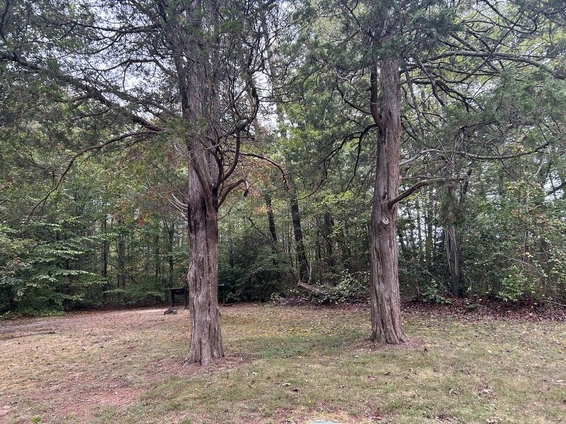
2. These Cedars Marker
Marker is set in ground directly below picture frame right of center.
Credits. This page was last revised on October 12, 2025. It was originally submitted on October 12, 2025, by Steve Stoessel of Niskayuna, New York. This page has been viewed 59 times since then and 25 times this year. Photos: 1, 2. submitted on October 12, 2025, by Steve Stoessel of Niskayuna, New York.
