Fort Plain in Montgomery County, New York — The American Northeast (Mid-Atlantic)
Canal Aqueduct
Photographed by Howard C. Ohlhous, October 12, 2025
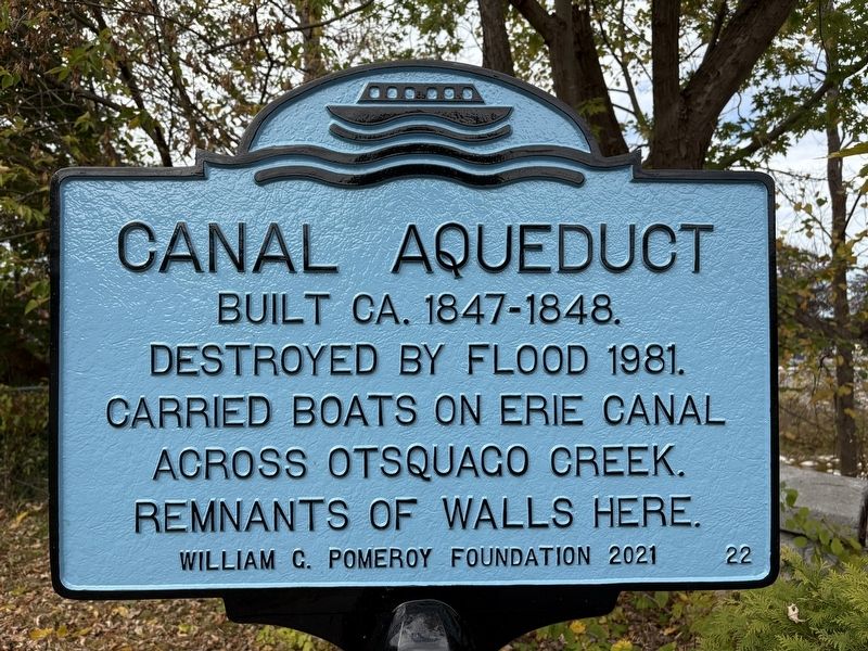
1. Canal Aqueduct Marker
Built ca. 1847-1848. Destroyed by flood 1981. Carried boats on Erie Canal across Otsquago Creek. Remnants of walls here.
Erected 2021 by William G. Pomeroy Foundation. (Marker Number 22.)
Topics. This historical marker is listed in these topic lists: Bridges & Viaducts • Industry & Commerce • Waterways & Vessels. A significant historical year for this entry is 1847.
Location. 42° 55.826′ N, 74° 37.28′ W. Marker is in Fort Plain, New York, in Montgomery County. It is at the intersection of East State Street and Y 10 S Crossing when traveling north on East State Street. Touch for map. Marker is at or near this postal address: 1 East State Street, Fort Plain NY 13339, United States of America. Touch for directions.

Regionally, this marker is in Upstate New York and in the Mohawk Valley. It is also in the American Northeast and in the Mid-Atlantic. Globally, it is in North America, the Western Hemisphere, the Western World, and the Anglosphere. Historically, it finds itself in what was once the Haudenosaunee (Iroquois) Confederacy, New Netherland, and one of the original Thirteen Colonies.
Other nearby markers. At
this page online
Also see . . . Otsquago Creek Aqueduct, Fort Plain, N.Y. The Erie Canal website link (Submitted on October 12, 2025, by Howard C. Ohlhous of Duanesburg, New York.)
Additional keywords. Erie Canal Aqueduct Otsquago Creek Aqueduct Otsquago Aqueduct
Photographed by Howard C. Ohlhous, October 12, 2025
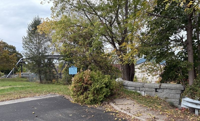
2. Canal Aqueduct Marker
The stonework to the right of the marker are the "Remnants of Walls Here."
Beyond the marker and the trees are the steel trusses of the Route 5S bridge over the Otsquago Creek.
Photographed by Howard C. Ohlhous, October 12, 2025
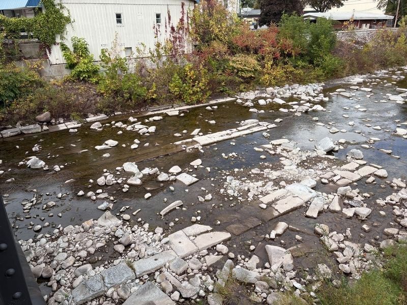
3. Canal Aqueduct Remains
Looking over the railing of the pedestrian walkway of the Route 5S bridge over the Otsquago Creek we can see the carefully laid stonework in the streambed that remain from the footings of the Erie Canal Aqueduct.
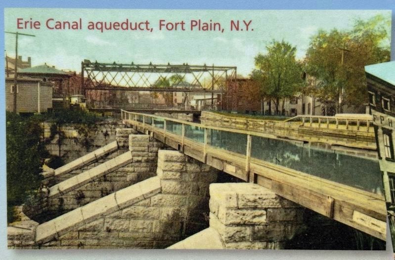
4. Otsquago Creek Aqueduct
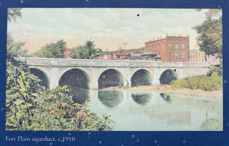
circa 1910
5. "Fort Plain aqueduct, c. 1910"
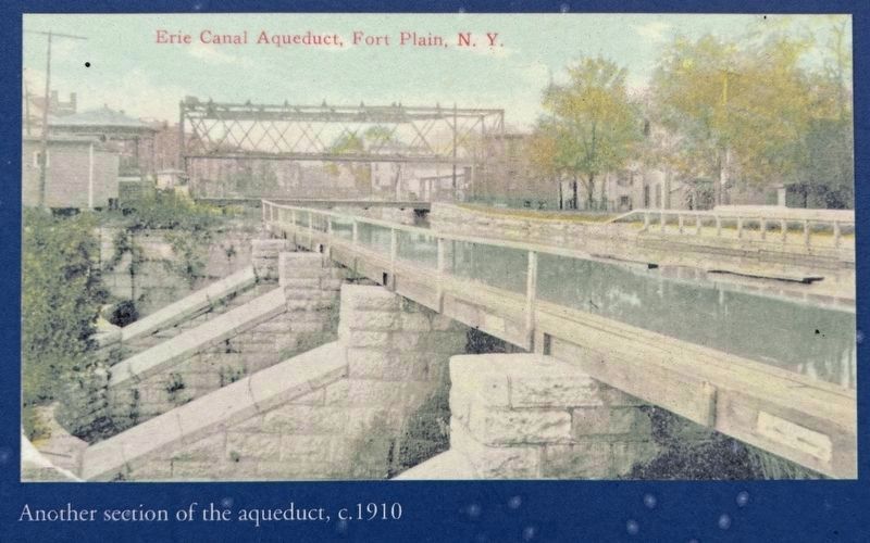
circa 1910
6. The Erie Canal's Otsquago Creek Aqueduct
"Another section of the aqueduct, c.1910"
Credits. This page was last revised on June 22, 2026. It was originally submitted on October 12, 2025, by Howard C. Ohlhous of Duanesburg, New York. This page has been viewed 138 times since then and 31 times this year. Photos: 1, 2, 3. submitted on October 12, 2025, by Howard C. Ohlhous of Duanesburg, New York. 4, 5, 6. submitted on October 13, 2025, by Howard C. Ohlhous of Duanesburg, New York. • Michael Herrick was the editor who published this page.
