
Randolph in Charlotte County, Virginia — The American South (Mid-Atlantic)
Guarding A Lifeline
Photographed by Mike McKeown, October 12, 2025
1. Guarding a Lifeline Marker
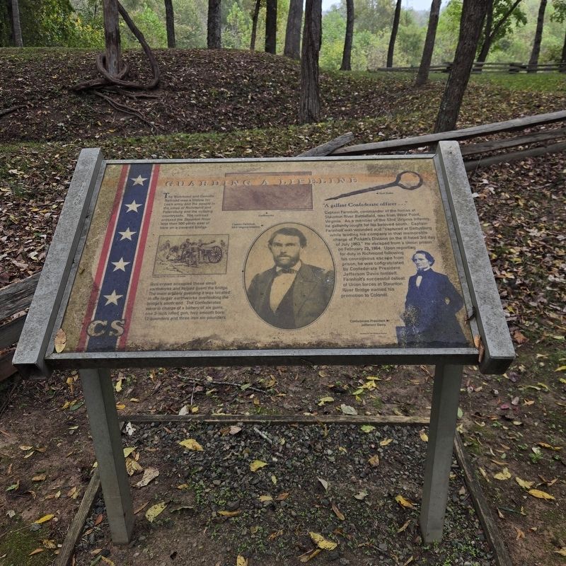
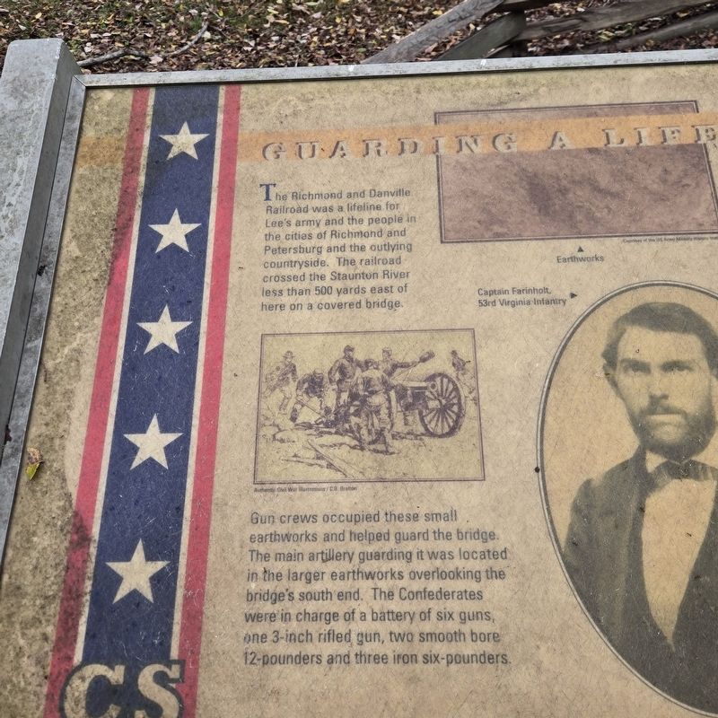
Gun crews occupied these small earthworks and helped guard the bridge. The main artillery guarding it was located in the larger earthworks overlooking the bridge's south end. The Confederates were in charge of a battery of six guns, one 3-inch rifled gun, two smooth bore 12-pounders and three iron six-pounders.
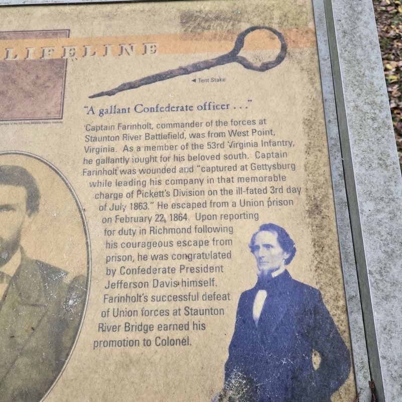
"A gallant Confederate officer..."
Captain Farinholt, commander of the forces at Staunton River Battlefield, was from West Point, Virginia. As a member of the 53rd Virginia Infantry he gallantly fought for his beloved south. Captain Farinholt was wounded and "captured at Gettysburg while leading his company in that memorable charge of Pickett's Division on the ill-fated 3rd day of July 1863." He escaped from a Union prison on February 22, 1864. Upon reporting for duty in Richmond following his courageous escape from prison, he was congratulated by Confederate President
this page online
(captions)
Earthworks Courtesy of the US Army Military History Institute
Authentic Civil War Illustrations / C.S. Grafton
Captain Farinholt, 53rd Virginia Infantry
Tent Stake
Confederate President Jefferson Davis Courtesy of the Library of Virginia
Topics. This historical marker is listed in these topic lists: Bridges & Viaducts • Railroads & Streetcars • War, US Civil. A significant historical year for this entry is 1864.
Location. 36° 53.01′ N, 78° 42.281′ W. Marker is in Randolph, Virginia, in Charlotte County. It can be reached from Fort Hill Trail east of Black Walnut Road, on the left when traveling east. Along the walking trail leading to the bridge, near the visitor center at Staunton River Battlefield State Park. Touch for map. Marker is at or near this postal address: 1035 Fort Hill Trail, Randolph VA 23962, United States of America. Touch for directions.

Regionally, this marker is in Virginia’s Piedmont, in Southside Virginia, and specifically in Central Virginia. It is
Photographed by Mike McKeown, October 12, 2025
2. Guarding a Lifeline Marker
Other nearby markers. At least 8 other markers are within 5 miles of this marker, measured as the crow flies: The Confederate Trail (about 300 feet away, measured in a direct line); The Battle of Staunton River Bridge (approx. 0.2 miles away); Wilson’s orders were to destroy the Richmond and Danville Railroad to the greatest extent possible (approx. 0.8 miles away); Roanoke Station (approx. 0.8 miles away); Wilson-Kautz Raid (approx. 0.8 miles away); Mulberry Hill (approx. 1.8 miles away); Carrington's Mill (approx. 3.9 miles away); Henrietta Lacks (approx. 4.9 miles away). Touch for a list and map of all markers in Randolph.
Also see . . .
1. Battle of Staunton River Bridge, June 25, 186 Captain Farinholt's - Confederate Report. (Historic Staunton River
Photographed by Mike McKeown, October 12, 2025
3. Guarding a Lifeline Marker
Another close up, marker has weathered
2. Staunton River Battlefield State Park. (Virginia Department of Conservation and Recreation) (Submitted on October 13, 2025, by Mike McKeown of Baltimore, Maryland.)
Photographed by Mike McKeown, October 12, 2025
4. Guarding a Lifeline Marker
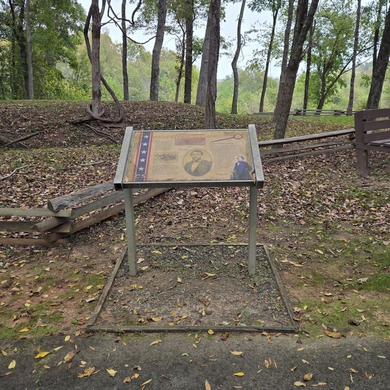
Earthworks in the rear
Credits. This page was last revised on December 4, 2025. It was originally submitted on October 13, 2025, by Mike McKeown of Baltimore, Maryland. This page has been viewed 66 times since then and 32 times this year. Photos: 1, 2, 3, 4. submitted on October 13, 2025, by Mike McKeown of Baltimore, Maryland. • Bernard Fisher was the editor who published this page.
