Brown's Park in Dutch John in Daggett County, Utah — The American Mountains (Southwest)
John Jarvie Ranch Historic District
Utah Historic Site
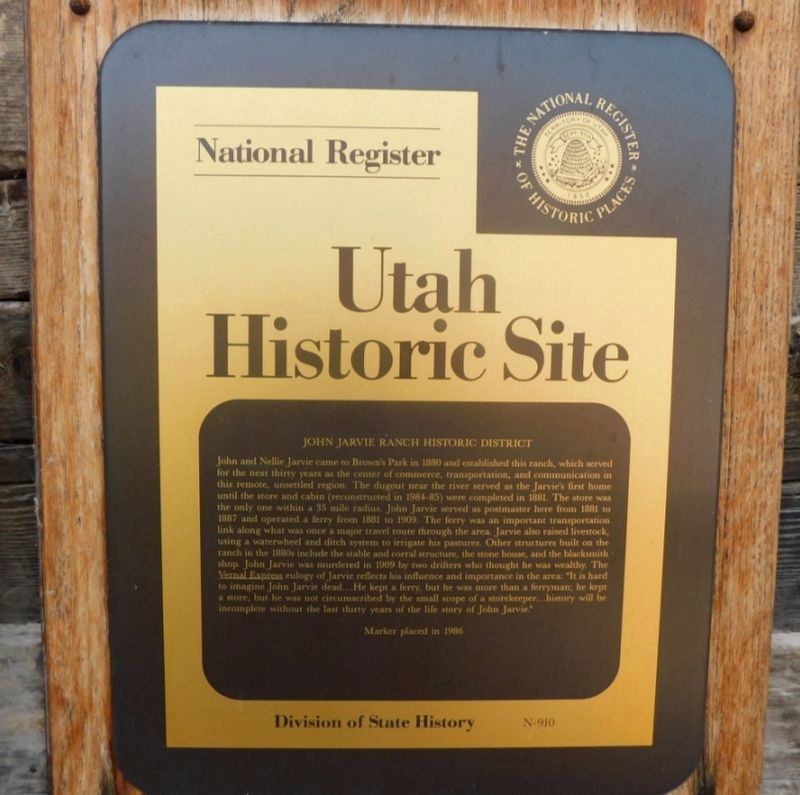
Photographed by Jimmy Emerson, September 5, 2025
1. John Jarvie Ranch Historic District Marker
this page online
Erected 1986 by Division of State History. (Marker Number N-910.)
Topics and series. This historical marker is listed in these topic lists: Agriculture • Settlements & Settlers. In addition, it is included in the Utah Historic Sites (NRHP) series list. A significant historical year for this entry is 1880.
Location. 40° 53.957′ N, 109° 10.725′ W. Marker is in Dutch John, Utah, in Daggett County. It is in Brown's Park. It is on Red Creek Road, on the left when traveling west. Marker is located at the John Jarvie State Historic Site. Touch for map. Marker is at or near this postal address: 40 Red Creek Road, Dutch John UT 84023, United States of America. Touch for directions.

Regionally, this marker is in the Uinta Basin and in the Uinta Mountains. It is also in the American Mountain West and on the Colorado Plateau. Globally, it is in North America, the Rocky Mountains, the Western Hemisphere, the Western World, and the Anglosphere. Historically, it finds itself in what was once New Spain and
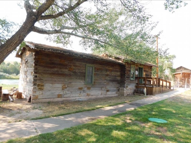
Photographed by Jimmy Emerson, September 5, 2025
2. John Jarvie Ranch Historic District Marker
Marker is beside the door.
Other nearby markers. At least 2 other markers are within 12 miles of this marker, measured as the crow flies: Tri-State Corner of Wyoming, Utah and Colorado (approx. 9.7 miles away); Matt Warner Reservoir (approx. 11.3 miles away).
Credits. This page was last revised on October 15, 2025. It was originally submitted on October 13, 2025, by Jimmy Emerson of Dalton, Georgia. This page has been viewed 124 times since then and 89 times this year. Photos: 1, 2. submitted on October 13, 2025, by Jimmy Emerson of Dalton, Georgia. • Andrew Ruppenstein was the editor who published this page.
