
Near Lowell in Lake County, Indiana — The American Midwest (Great Lakes)
Barn
Photographed by Daniel Barriball, October 12, 2025
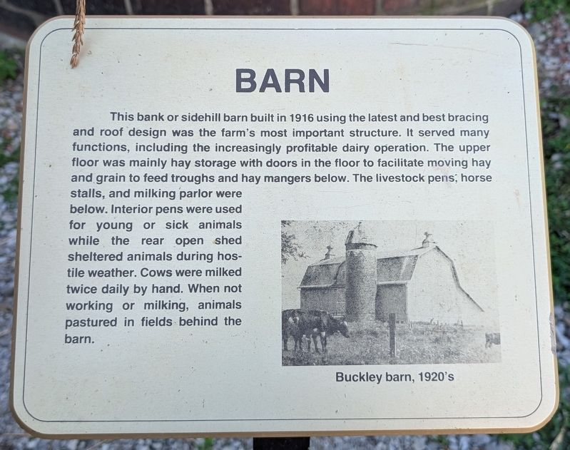
1. Barn Marker
This bank or sidehill barn built in 1916 using the latest and best bracing and roof design was the farm's most important structure. It served many functions, including the increasingly profitable dairy operation. The upper floor was mainly hay storage with doors in the floor to facilitate moving hay and grain to feed troughs and hay mangers below. The livestock pens, horse stalls, and milking parlor were below. Interior pens were used for young or sick animals while the rear open shed sheltered animals during hostile weather. Cows were milked twice daily by hand. When not working or milking, animals pastured in fields behind the barn.
Erected by Lake County Parks & Rec.
Topics. This historical marker is listed in these topic lists: Agriculture • Animals. A significant historical year for this entry is 1916.
Location. 41° 16.87′ N, 87° 22.719′ W. Marker is near Lowell, Indiana, in Lake County. It can be reached from Belshaw Road west of Hendricks Street, on the left when traveling west. This marker is located in Buckley Homestead County Park. Touch for map. Marker is at or near this postal address: 3722 Belshaw
this page online

Regionally, this marker is in Northwest Indiana and in the Calumet Region. It is also in the American Midwest, on the Great Lakes, and in the Corn Belt. Globally, it is in North America, the Western Hemisphere, the Western World, and the Anglosphere. Historically, it finds itself in what was once the territory of the Mississippian Culture and also the Northwest Territory.
Other nearby markers. At least 8 other markers are within walking distance of this marker: Milkhouse / Silo (a few steps from this marker); Hired Hands House (within shouting distance of this marker); Granary (within shouting distance of this marker); House (within shouting distance of this marker); Garage (about 300 feet away, measured in a direct line); Family History (approx. 0.2 miles away); Log House (approx. 0.2 miles away); Schoolhouse (approx. 0.2 miles away). Touch for a list and map of all markers in Lowell.
Photographed by Daniel Barriball
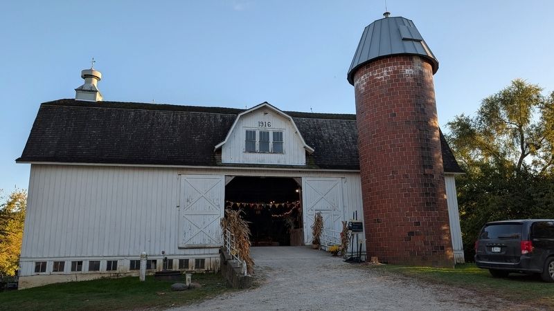
2. Barn Marker in context
The historical marker is between the ramp and the silo.
Photographed by Daniel Barriball, October 12, 2025
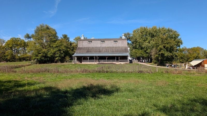
3. South side of the barn from across the pasture field
Credits. This page was last revised on October 15, 2025. It was originally submitted on October 13, 2025, by Daniel Barriball of Chesterton, Indiana. This page has been viewed 55 times since then and 17 times this year. Photos: 1, 2, 3. submitted on October 13, 2025, by Daniel Barriball of Chesterton, Indiana. • Devry Becker Jones was the editor who published this page.
