Near Lowell in Lake County, Indiana — The American Midwest (Great Lakes)
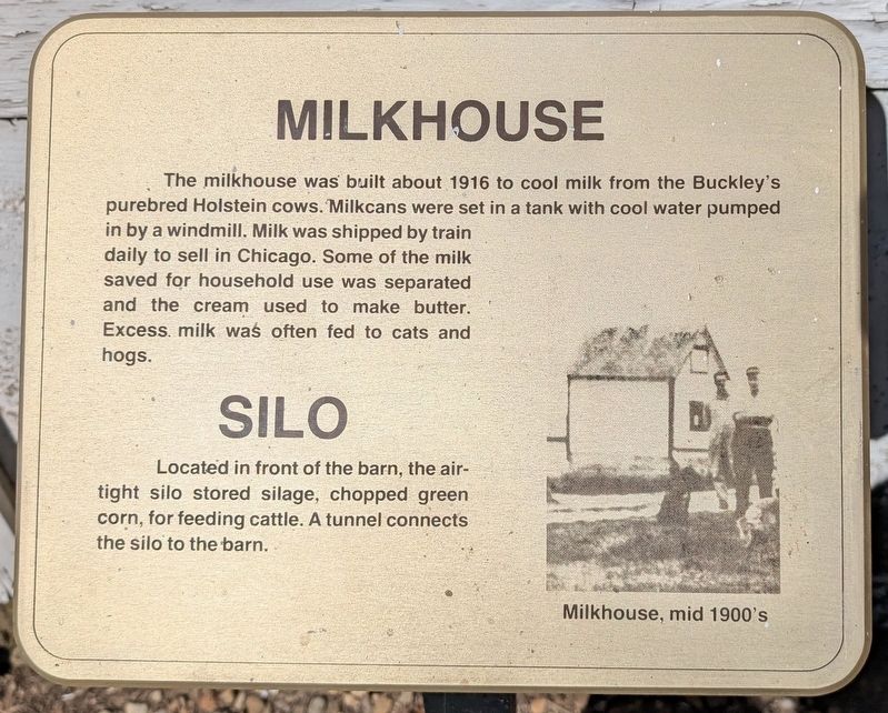
Milkhouse
⎯⎯⎯
Silo
Photographed by Daniel Barriball
1. Milkhouse / Silo Marker
Photo caption: Milkhouse, mid 1900's
Erected by Lake County Parks & Rec.
Topics. This historical marker is listed in these topic lists: Agriculture • Animals. A significant historical year for this entry is 1916.
Location. 41° 16.874′ N, 87° 22.71′ W. Marker is near Lowell, Indiana, in Lake County. It can be reached from Belshaw Road west of Hendricks Street, on the left when traveling west. This marker is located within Buckley Homestead County Park. Touch for map. Marker is at or near this postal address: 3712 Belshaw Rd, Lowell IN 46356, United States of America. Touch for directions.

Regionally, this marker
this page online
Other nearby markers. At least 8 other markers are within walking distance of this marker: Barn (a few steps from this marker); Granary (within shouting distance of this marker); Hired Hands House (within shouting distance of this marker); House (within shouting distance of this marker); Garage (within shouting distance of this marker); Family History (approx. 0.2 miles away); Log House (approx. 0.2 miles away); Schoolhouse (approx. 0.2 miles away). Touch for a list and map of all markers in Lowell.

Photographed by Daniel Barriball, October 12, 2025
2. Milkhouse / Silo Marker in context
Credits. This page was last revised on October 15, 2025. It was originally submitted on October 13, 2025, by Daniel Barriball of Chesterton, Indiana. This page has been viewed 70 times since then and 36 times this year. Photos: 1, 2. submitted on October 13, 2025, by Daniel Barriball of Chesterton, Indiana. • Devry Becker Jones was the editor who published this page.
