
Omaha in Douglas County, Nebraska — The American Midwest (Upper Plains)
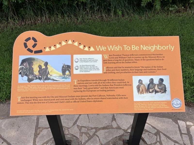
We Wish To Be Neighborly
Photographed by Barry Swackhamer, July 16, 2025
1. We Wish To Be Neighborly Marker
Captions: (upper left) On August 2, 1804, William Clark wrote of his firs meeting with the Oto and Missouri Indians, "We spoke, shook hands, and gave them some tobacco and provisions. We informed them we were glad to see them and would speak to them tomorrow."; (bottom right) During their time here, Lewis and Clark hoped to meet Oto, Missouri, Omaha and Ponca Indians. About 30 years after the Expedition, Karl Bodmer printed portraits of Oto, Missouri and Ponco leaders.
When President Thomas Jefferson commissioned Meriwether Lewis and William Clark to journey up the Missouri River, he gave them a long list of questions. Many of the questions had to do with learning about the Indian tribes.
Jefferson said that he wanted to know "the names of the Indian tribes, and their numbers, their language and traditions, their food and clothing, and peculiarities in their laws and customs."
The Expedition traveled through 50 different Indian nations and met with all of the tribes they could find. At their meetings, Lewis told the Indians that President Jefferson was their "only great father" and that Americans were replacing the Europeans as trading partners.
Their first meeting was with the Ota and Missouri Indians near present-day Fort Calhoun, Nebraska. Gifts were exchanged. White men shared pork and corn meal with the Indians, who in return shared watermelon with their visitors. This was the first test of the Lewis and Clark's skill as official United States diplomats
Erected by National Park Service; City of Omaha; Papio-Missouri River Natural Resources District.
Topics.
this page online
Location. 41° 16.241′ N, 95° 55.197′ W. Marker is in Omaha, Nebraska, in Douglas County. It is on Gallup Drive near Freedom Park Road, on the left when traveling south. Touch for map. Marker is at or near this postal address: 1001 Gallup Drive, Omaha NE 68102, United States of America. Touch for directions.

Regionally, this marker is in Eastern Nebraska. It is also in the American Midwest, in the Lewis & Clark Corridor, in the Corn Belt, and on the prairies. Globally, it is in North America, the Western Hemisphere, the Western World, and the Anglosphere. Historically, it finds itself in what was once the Louisiana Purchase.
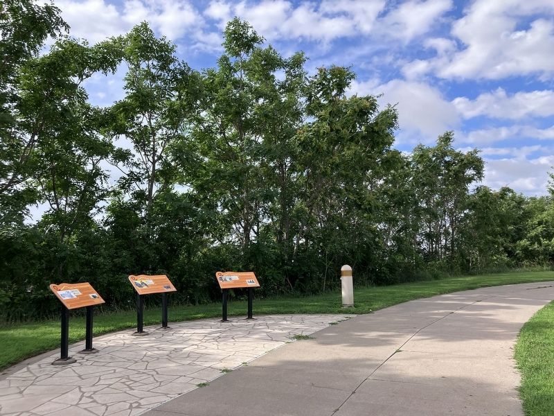
Other nearby markers. At least 8 other markers are within walking distance of this marker: Time For Hunting Buffalo (here, next to this marker); First Formal Exchange (here, next to this marker); Wanted: Men To Labor (within shouting distance of this marker); Hiring Local Experts (within shouting distance of this marker); Fatigue and Danger
Photographed by Barry Swackhamer, July 16, 2025
2. We Wish To Be Neighborly Marker
More about this marker. There is an audio component to this marker. Select a button and "Hear Thomas Jefferson's interactions to Lewis and Clark, in the President's own words." or
"An Otoe-Missouria Indian, Matthew Jones, describe the tribe's relations with other tribes and European traders at the time of the Expedition.
Additional keywords. Diplomacy
Credits. This page was last revised on October 21, 2025. It was originally submitted on October 14, 2025, by Barry Swackhamer of Brentwood, California. This page has been viewed 56 times since then and 24 times this year. Photos: 1, 2. submitted on October 14, 2025, by Barry Swackhamer of Brentwood, California.
