Sandusky in Erie County, Ohio — The American Midwest (Great Lakes)
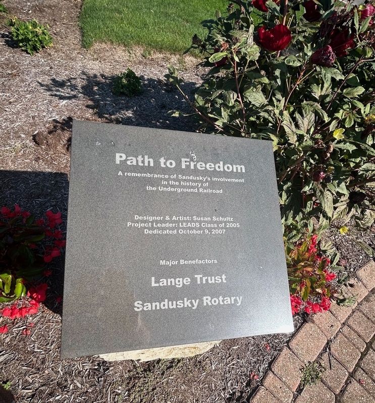
Path to Freedom
A remembrance of Sandusky's involvement in the history of the Underground Railroad
Photographed by Mark Moxley-Knapp
1. Path to Freedom Marker
Designer & Artist: Susan Schultz
Project Leader: LEADS Class of 2005
Dedicated October 9, 2007
Major Benefactors
Lange Trust • Sandusky Rotary
Fugitives and Freedom Houses in Sandusky
The Underground Railroad was a secret network of safe houses, including the Sloane House (above.) For many slaves, escaping meant traveling alone on foot at night, following the North Star.
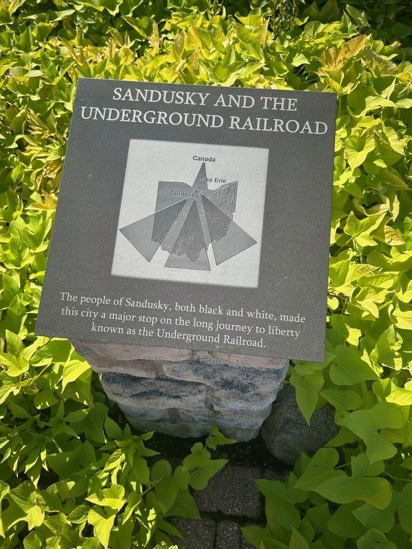
Sandusky and the Underground Railroad
The people of Sandusky, both black and white, made this city a major stop on the long journey to liberty known as the Underground Railroad.
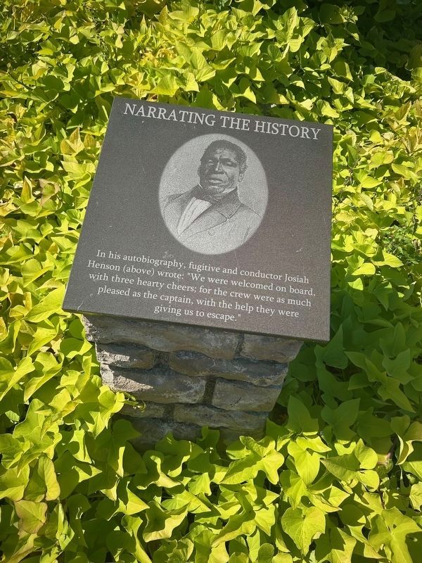
Narrating the History
In his autobiography, fugitive and conductor Josiah Henson (above) wrote: "We were welcomed on board with three hearty cheers; for the crew were as much pleased as the captain, with the help they were giving us to escape."
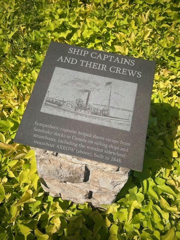
Ship Captains and Their Crews
Sympathetic captains helped slaves escape from Sandusky docks to Canada on sailing ships and steamboats, including the wooden sidewheel steamboat ARROW (above), built
this page online
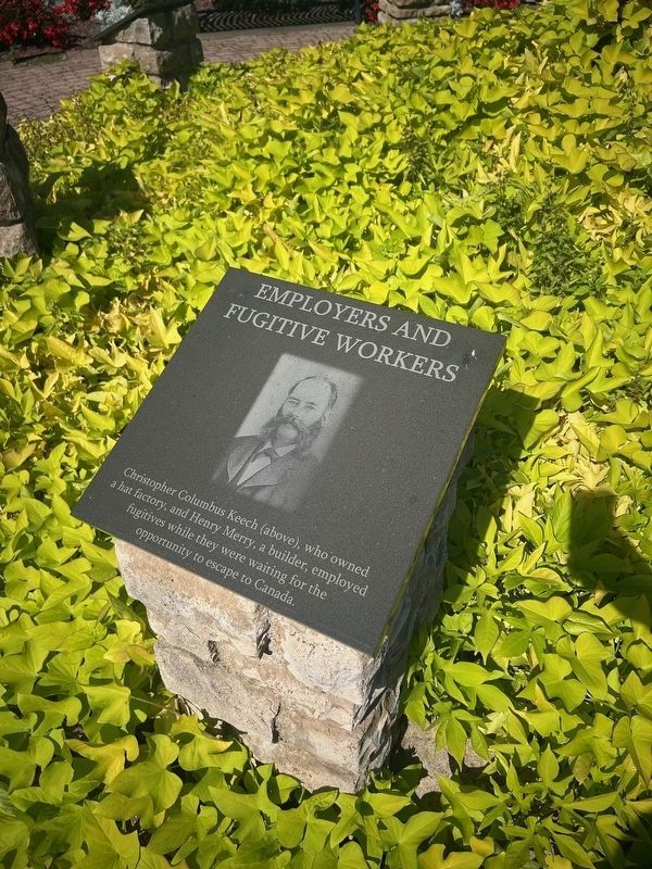
Employers and Fugitive Workers
Christopher Columbus Keech (above), who owned a hat factory, and Henry Merry, a builder, employed fugitives while they were waiting for the opportunity to escape to Canada.
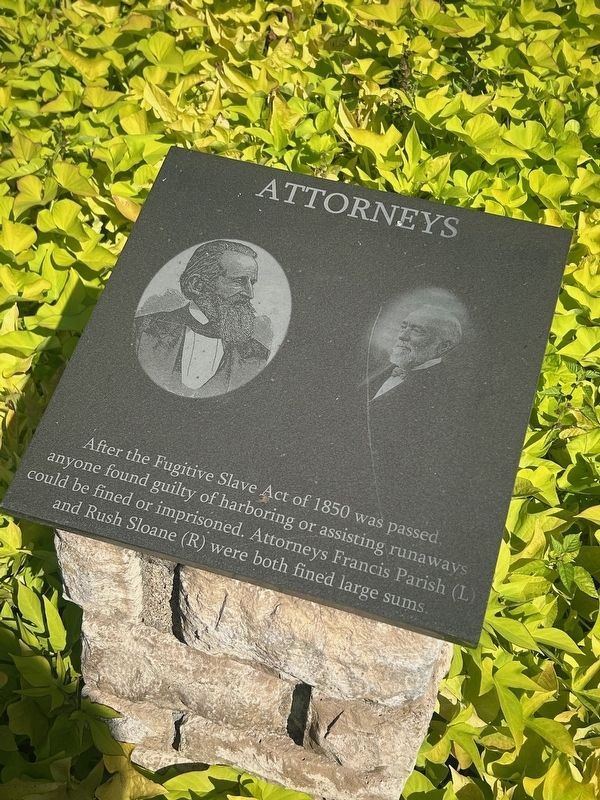
Attorneys
After the Fugitive Slave Act of 1850 was passed, anyone found guilty of harboring or assisting runaways could be fined or imprisoned. Attorneys Francis Parish (L) and Rush Sloane (R) were both fined large sums.
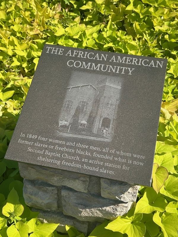
The African American Community
In 1849 four women and three men, all of whom were former slaves or freeborn blacks, founded what is now Second Baptist Church, an active station for sheltering freedom-bound slaves.
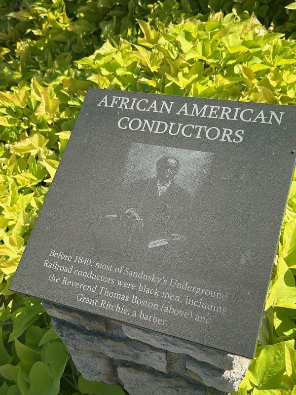
African American Conductors
Before 1840, most of Sandusky's Underground Railroad conductors were black men, including the Reverend Thomas Boston (above) and Grant Ritchie, a barber.
Erected 2007.
Topics. This historical marker is listed in these topic lists: Abolition & Underground RR • African Americans. A significant historical date for this entry is October 9, 2007.
Location. 41° 27.51′ N, 82° 42.554′ W. Marker is in Sandusky, Ohio, in Erie County. It is at the intersection
Photographed by Mark Moxley-Knapp, September 28, 2025
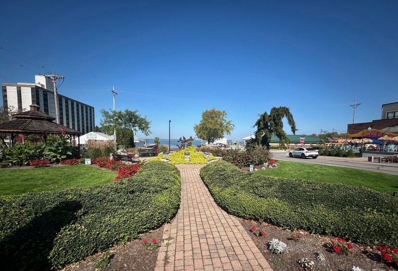
2. Park containing Path to Freedom Marker

Regionally, this marker is on the Lake Erie Shore and in the Western Reserve. It is also in the American Midwest and in the Corn Belt. Globally, it is in North America, on the Great Lakes, in the Western Hemisphere, in the Western World, and in the Anglosphere. Historically, it finds itself in what was once the Haudenosaunee (Iroquois) Confederacy, the territory of the Mississippian Culture, and the Northwest Territory.
Other nearby markers. At least 8 other markers are within walking distance of this marker: LakeView House (within shouting distance of this marker); The Underground Railroad / Abolition Boats Provide an Escape to Freedom in Erie County (about 400 feet away, measured in a direct line); Shoreline Park (about 800 feet away); Jay Cooke (approx. 0.2 miles away); Donahue Hardware (approx. 0.2 miles away); State Theatre (approx. 0.2 miles
Photographed by Mark Moxley-Knapp, September 28, 2025
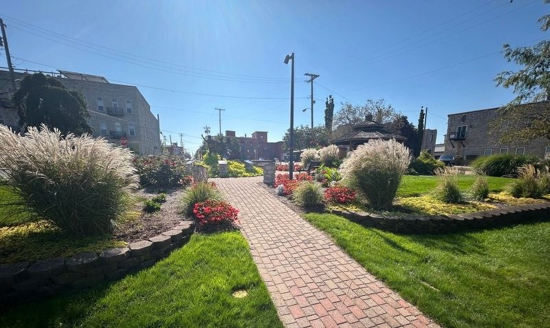
3. Park containing Path to Freedom Marker
More about this marker. Memorial consists of multiple small markers, each describing a different aspect of the subject. A statue is in the middle of the circle of markers.

Photographed by Mark Moxley-Knapp, September 28, 2025
4. Statue in center of Path to Freedom Markers
Photographed by Mark Moxley-Knapp, September 28, 2025
5. Path to Freedom- African American Conductors Marker
Photographed by Mark Moxley-Knapp, September 28, 2025
6. Path to Freedom- The African American Community Marker
Photographed by Mark Moxley-Knapp, September 28, 2025
7. Path to Freedom- Attorneys Marker
Photographed by Mark Moxley-Knapp, September 28, 2025
8. Path to Freedom- Employers and Fugitive Workers Marker
Photographed by Mark Moxley-Knapp, September 28, 2025
9. Path to Freedom- Ship Captains and Their Crews Marker
Photographed by Mark Moxley-Knapp, September 28, 2025
10. Path to Freedom- Narrating The History Marker
Photographed by Mark Moxley-Knapp, September 28, 2025
11. Path to Freedom- Sandusky And The Underground Railroad Marker

Photographed by Mark Moxley-Knapp, September 28, 2025
12. Path to Freedom- Fugitives and Freedom Houses Marker
Credits. This page was last revised on October 16, 2025. It was originally submitted on September 30, 2025, by Mark Moxley-Knapp of Columbus, Ohio. This page has been viewed 104 times since then and 64 times this year. Last updated on October 15, 2025, by Mark Moxley-Knapp of Columbus, Ohio. Photos: 1, 2, 3, 4, 5, 6. submitted on September 30, 2025, by Mark Moxley-Knapp of Columbus, Ohio. 7, 8, 9. submitted on October 8, 2025, by Mark Moxley-Knapp of Columbus, Ohio. 10, 11, 12. submitted on October 10, 2025, by Mark Moxley-Knapp of Columbus, Ohio. • Devry Becker Jones was the editor who published this page.
Editor’s want-list for this marker. Verification of the geocoordinates. • Can you help?
