Rockville Centre in Nassau County, New York — The American Northeast (Mid-Atlantic)
Mill River History
| — | Mill River Green Way Trail | — |
Photographed by Ian Lefkowitz, October 4, 2025
1. Mill River History Marker
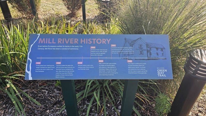
Even before Europeans settled its banks in the early 17th century, Mill River has been a conduit of commerce. 1688 A Hempstead town meeting gives Joseph Haviland the rights to build a mill on the river in what is now East Rockaway.
1689 Haviland installs tide gates that still limit current-day Lynbrook and Rockville Centre’s access to the sea (See where the river narrows under the Long Island Railroad trestle on Ocean Avenue toward Atlantic Avenue).
1710 Michael DeMott builds a dam creating Smith Pond in what is now Rockville Centre.
1806 Mordecai “Rock” Smith acquires DeMott’s mill; by 1828, six grain and flour mills are operating about half a mile apart.
1839 After a winter with huge snowfalls, ice breaks and flooding begins, with streets six miles upstream in Hempstead Village under up to six feet of water. It is said that “Rock” Smith saves his mill by emptying his pond, becoming a local hero.
1965 Haviland’s mill in East Rockaway, operated by the Davison family for more than 100 years and subsequently owned by the family for 40 more, becomes a museum.
1990 The museum is destroyed by
this page online
Topics. This historical marker is listed in these topic lists: Disasters • Industry & Commerce • Settlements & Settlers • Waterways & Vessels. A significant historical year for this entry is 1688.
Location. 40° 39.285′ N, 73° 39.297′ W. Marker is in Rockville Centre, New York, in Nassau County. It can be reached from the intersection of Chester Road and S Village Avenue, on the right when traveling north. Touch for map. Marker is in this post office area: Rockville Centre NY 11570, United States of America. Touch for directions.

Regionally, this marker is in the New York City Metropolitan Area and on Long Island. It is also in the American Northeast, in the Mid-Atlantic, and on the Eastern Seaboard. Globally, it is in the North Atlantic Region, North America, the Western Hemisphere, the Western World, and the Anglosphere. Historically, it finds itself in what was once New Netherland and also one of the original Thirteen Colonies.
Other nearby markers. At
Photographed by Ian Lefkowitz, October 4, 2025
2. Mill River History Marker
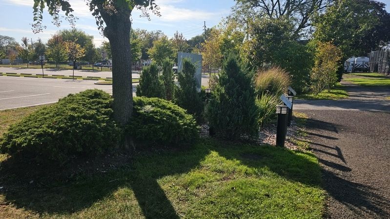
Located next to the Lister Park parking lot, surrounded by other markers explaining the natural world.
Photographed by Ian Lefkowitz, October 4, 2025
3. Bioswale Marker
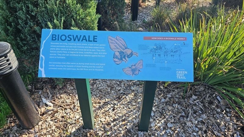
Explains how bioswales work is located next to the historic marker.
Photographed by Ian Lefkowitz, October 4, 2025
4. Real Snowbirds Marker
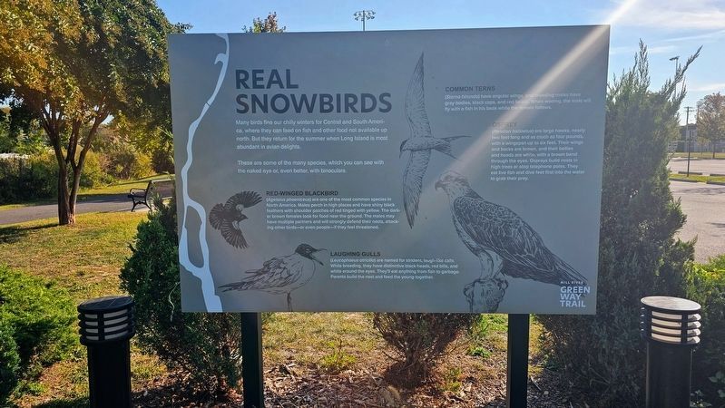
Identifies summer bird species that can be found on Long Island, including the red-winged blackbird, laughing gulls, common terns, and osprey.
Photographed by Ian Lefkowitz, October 4, 2025
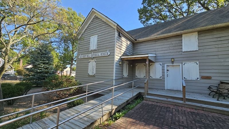
5. Old Grist Mill Historical Museum
This museum and historic mill is found slightly more than a mile south along the Mill River Green Way Trail, in East Rockaway.
Photographed by Ian Lefkowitz, October 15, 2025
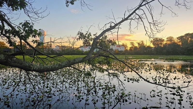
6. Smith Pond
Present day Smith Pond, first dammed in 1710.
Credits. This page was last revised on October 16, 2025. It was originally submitted on October 16, 2025, by Ian Lefkowitz of New York, New York. This page has been viewed 100 times since then and 57 times this year. Photos: 1, 2, 3, 4, 5, 6. submitted on October 16, 2025, by Ian Lefkowitz of New York, New York. • Michael Herrick was the editor who published this page.
