Near San Augustine in San Augustine County, Texas — The American South (West South Central)
Macune Cemetery
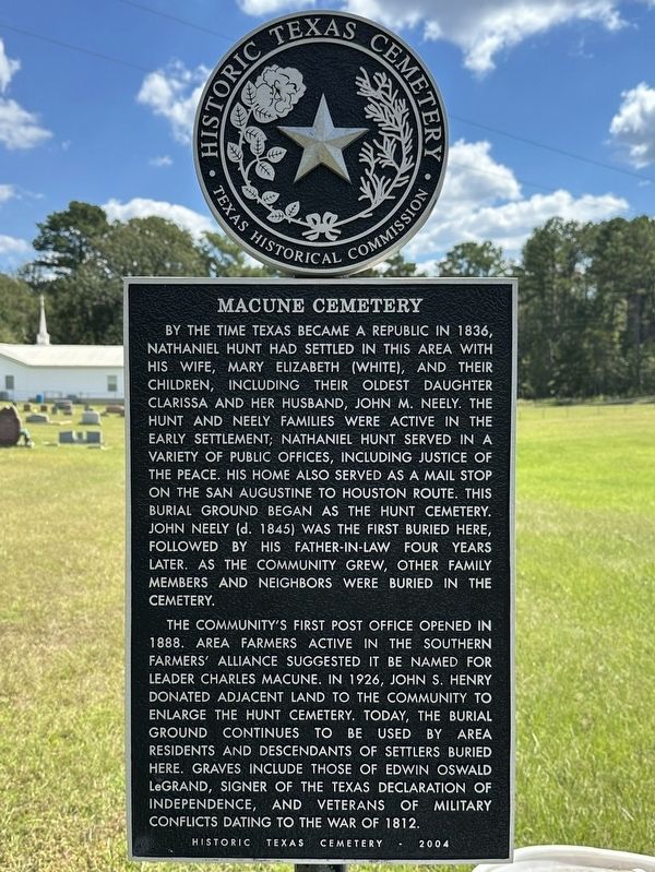
Photographed by Brian Anderson, September 27, 2025
1. Macune Cemetery Marker
The community's first post office opened in 1888. Area farmers active in the Southern Farmers' Alliance suggested it be named for leader Charles Macune. In 1926, John S. Henry donated adjacent land to the community to enlarge the Hunt Cemetery. Today, the burial ground continues to be used by area residents and descendants of settlers buried here. Graves include those of Edwin Oswald LeGrand, signer of the Texas Declaration of Independence, and veterans of
this page online
Erected 2004 by Texas Historical Commission. (Marker Number 13239.)
Topics. This historical marker is listed in this topic list: Cemeteries & Burial Sites.
Location. 31° 24.828′ N, 94° 9.83′ W. Marker is near San Augustine, Texas, in San Augustine County. It is on State Highway 147 0.2 miles north of County Road 316, on the right when traveling north. Touch for map. Marker is in this post office area: San Augustine TX 75972, United States of America. Touch for directions.

Regionally, this marker is in the American South, specifically in the Deep South, and in the Piney Woods. Globally, it is in North America, a Gulf of Mexico state, the Western Hemisphere, the Western World, and the Anglosphere. Historically, it finds itself in what was once New Spain, the Republic of Texas, one of the Confederate States of America, and the Antebellum South.
Other nearby markers. At least 8 other markers are within 9 miles of this marker, measured as the crow flies: Edward Oswald LeGrand (within shouting
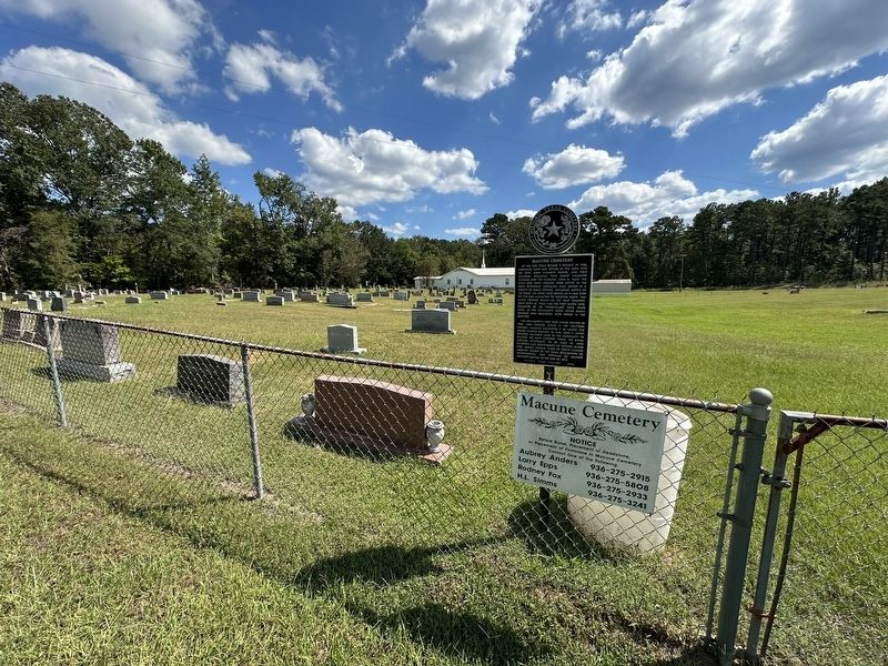
Photographed by Brian Anderson, September 27, 2025
2. Macune Cemetery Marker
Credits. This page was last revised on October 16, 2025. It was originally submitted on October 16, 2025, by Brian Anderson of New Albany, Ohio. This page has been viewed 78 times since then and 40 times this year. Photos: 1, 2. submitted on October 16, 2025, by Brian Anderson of New Albany, Ohio.
