Burlington in Halton Region, Ontario — Central Canada (North America)
Spencer Smith Park
Photographed by Tim Boyd, October 16, 2025
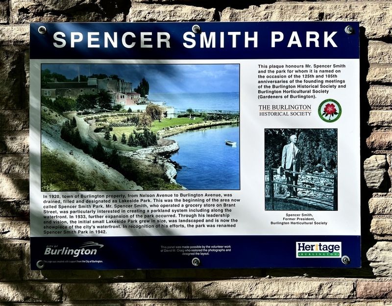
1. Spencer Smith Park Marker
This plaque honours Mr. Spencer Smith and the park for whom it is named on the occasion of the 125th and 105th anniversaries of the founding meetings of the Burlington Historical Society and Burlington Horticultural Society (Gardeners of Burlington).
Erected by City of Burlington/Burlington Historical Society.
Topics. This historical marker is listed in this topic list: Parks & Recreational Areas. A significant historical year for this entry is 1920.
Location. 43° 19.446′ N, 79° 47.772′ W. Marker
this page online

Regionally, this marker is in Greater Toronto, specifically on the Golden Horseshoe, in the Hamilton-Halton-Brant Area, and specifically in the Toronto Metropolitan Area. It is also in Central Canada. Globally, it is in North America, on the Great Lakes, in the Western Hemisphere, in the Western World, and in the Anglosphere. Historically, it finds itself in what was once a British colony, the Viceroyalty of New France, the Haudenosaunee (Iroquois) Confederacy, and Rupert’s Land.
Other nearby markers. At least 8 other markers are within walking distance of this marker: William Bunton Esq. 1820-1881 (within shouting distance of this marker); The Hamilton Radial Electric Railway (about 210 meters away, measured in a direct line); 125th Anniversary Clock, 1999 (approx.

Photographed by Tim Boyd, October 16, 2025
2. Spencer Smith Park Marker
Photographed by Tim Boyd, October 16, 2025
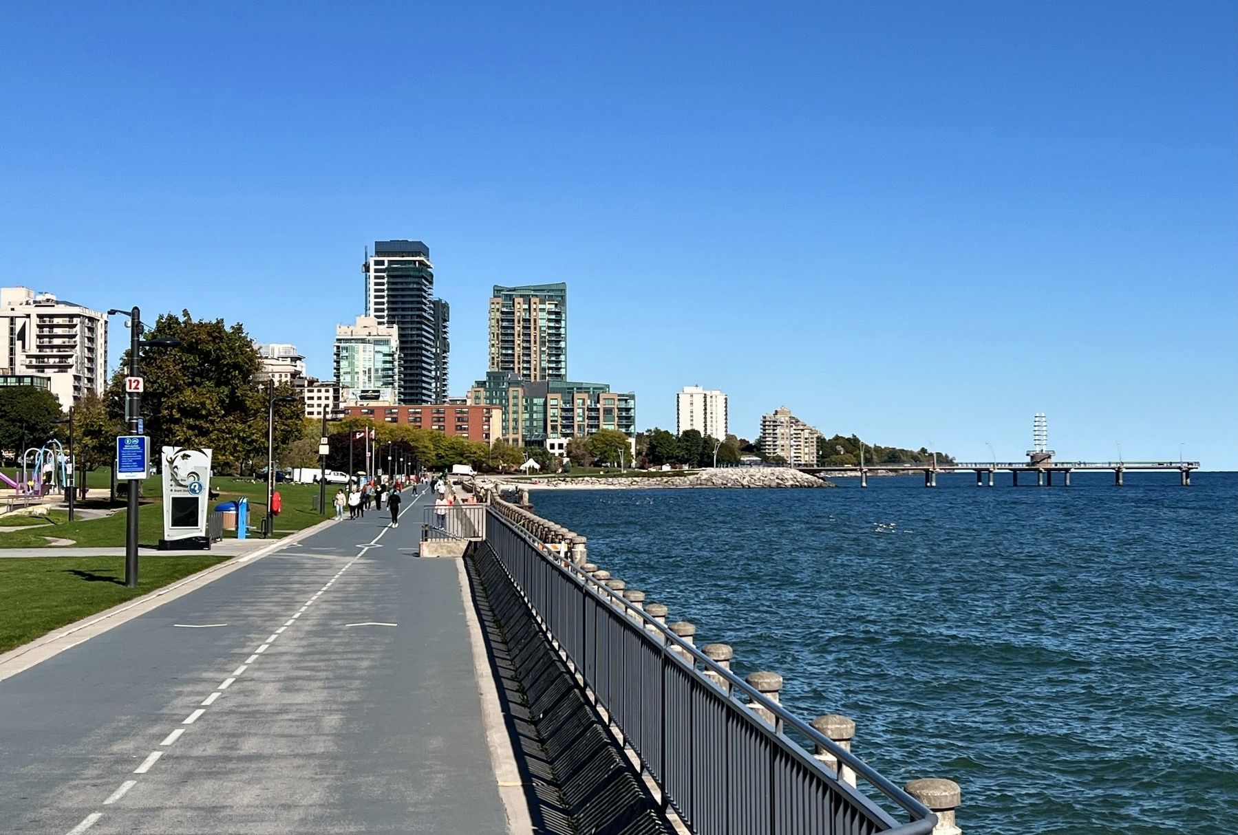
3. Spencer Smith Park, 2025
Credits. This page was last revised on October 16, 2025. It was originally submitted on October 16, 2025, by Tim Boyd of Hamilton, Ontario. This page has been viewed 108 times since then and 75 times this year. Photos: 1, 2, 3. submitted on October 16, 2025, by Tim Boyd of Hamilton, Ontario. • Andrew Ruppenstein was the editor who published this page.
