Burlington in Halton Region, Ontario — Central Canada (North America)
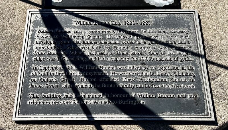
William Bunton Esq. 1820-1881
Photographed by Tim Boyd, October 16, 2025
1. William Bunton Esq. 1820-1881 Marker
In September 1881 William Bunton was killed by an explosion at his oil well in Bradford, Pennsylvania. He was buried in St. Luke's Cemetery on Ontario Street. Bunton attended Knox Presbyterian Church on James Street. Memorials to the Bunton family can be found in the church.
This building has been named in honour of William Bunton and pays tribute to the contributions he made to Burlington.
Topics. This historical marker is listed in these topic lists: Industry & Commerce • Waterways & Vessels. A significant historical month for this entry is September 1881.
Location. 43° 19.468′ N, 79° 47.781′ W. Marker is in Burlington, Ontario, in Halton Region. It is at the intersection of Lakeshore Road and Brant Street, on the right when traveling
this page online

Regionally, this marker is in Greater Toronto, specifically on the Golden Horseshoe, in the Hamilton-Halton-Brant Area, and specifically in the Toronto Metropolitan Area. It is also in Central Canada. Globally, it is in North America, on the Great Lakes, in the Western Hemisphere, in the Western World, and in the Anglosphere. Historically, it finds itself in what was once a British colony, the Viceroyalty of New France, the Haudenosaunee (Iroquois) Confederacy, and Rupert’s Land.
Other nearby markers. At least 8 other markers are within walking distance of this marker: Spencer Smith Park (within shouting distance of this marker); The Hamilton Radial Electric Railway (about 180 meters away, measured in a direct line); 125th Anniversary Clock, 1999 (about 240 meters away); Burlington Cenotaph (approx. 0.3 kilometers away); The Founding of Burlington (approx. 0.3 kilometers away); Knox Presbyterian Church (approx. 0.3 kilometers away); Spencer Smith (approx. 0.3
Photographed by Tim Boyd, October 16, 2025
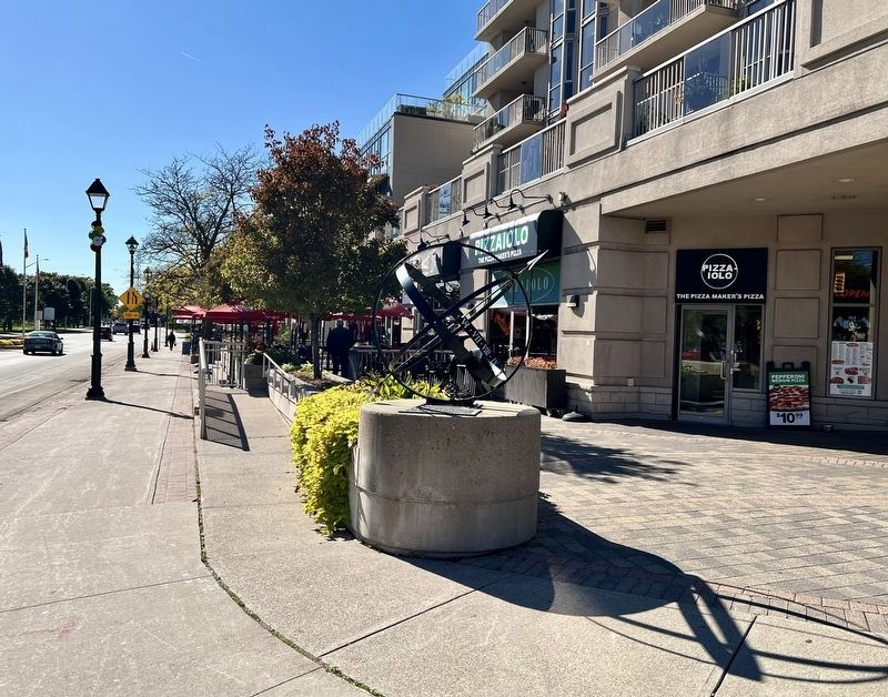
2. William Bunton Esq. 1820-1881 Marker
On top of the round concrete piller
Photographed by Tim Boyd, October 16, 2025
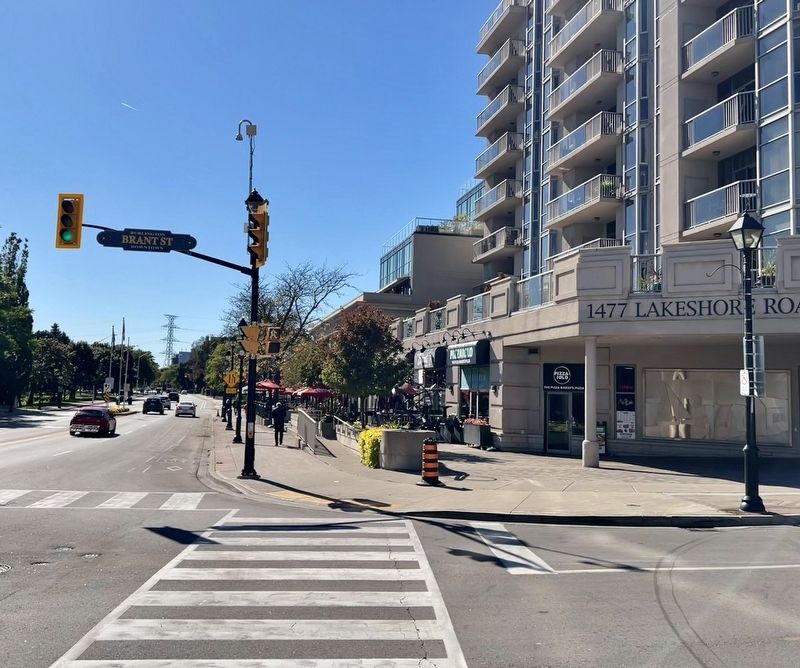
3. William Bunton Esq. 1820-1881 Marker
Facing west of Lakeshore Boulevard
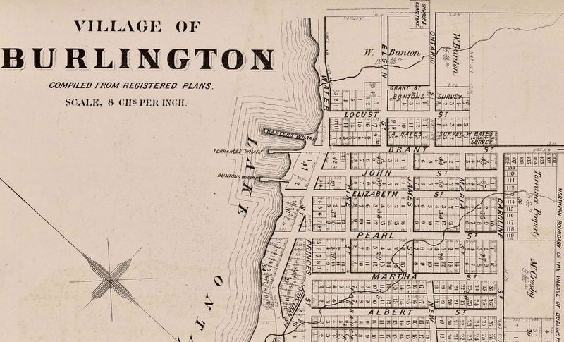
4. Village of Burlington, 1877, showing Bunton’s Wharf at centre
From Historical Atlas of Halton County (via archive.org), public domain
Credits. This page was last revised on October 17, 2025. It was originally submitted on October 17, 2025, by Tim Boyd of Hamilton, Ontario. This page has been viewed 82 times since then and 40 times this year. Photos: 1, 2, 3, 4. submitted on October 17, 2025, by Tim Boyd of Hamilton, Ontario. • Andrew Ruppenstein was the editor who published this page.
