Rockville Centre in Nassau County, New York — The American Northeast (Mid-Atlantic)
The History of Rockville Centre's Smith Pond
Photographed by Ian Lefkowitz, October 15, 2025
1. The History of Rockville Centre's Smith Pond Marker
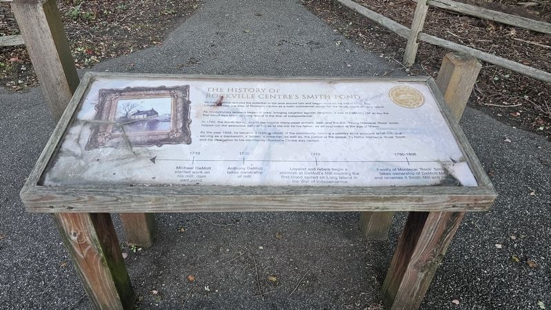
The History of Rockville Centre's Smith Pond
Michael DeMott realized the potential in the land around him and began work on his mill in 1710. His insight foresaw the area of Rockville Centre as a main commercial center for the South Shore of Long Island.
As revolutionary tempers began to brew, bringing neighbor against neighbor, it was at DeMott's Mill where the first blood was shed on Long Island in the War of Independence.
In 1780, the Smith family, one of the original Hempstead settlers, took over the mill. Young Mordecai 'Rock' Smith helped run the strenuous daily activities of the mill for his father, as an apprentice at the age of fifteen.
By the year 1825, he became a leading citizen of the community; running a country store adjacent to his mill, and serving as a blacksmith, a farmer, a preacher, as well as, the justice of the peace. To honor Mordecai 'Rock' Smith and his dedication to his community, Rockville Centre was named.
1710
Michael DeMott started work on his mill, dam and pond.
1730
Anthony DeMott takes ownership of mill.
1776
Loyalist and rebels begin a skirmish at DeMott's Mill marking the first blood spilled on
this page online
1780–1806
Family of Mordecai 'Rock' Smith takes ownership of DeMott Mill and renames it Smith Mill and Pond.
Topics. This historical marker is listed in these topic lists: Industry & Commerce • Settlements & Settlers • War, US Revolutionary • Waterways & Vessels. A significant historical year for this entry is 1710.
Location. 40° 39.605′ N, 73° 39.196′ W. Marker is in Rockville Centre, New York, in Nassau County. It is on Nassau Street west of Claude Street. The marker is located at the entrance to The Rev. Dr. Morgan Days Park South. Touch for map. Marker is at or near this postal address: 51 Nassau Street, Rockville Centre NY 11570, United States of America. Touch for directions.

Regionally, this marker is in the New York City Metropolitan Area and on Long Island. It is also in the American Northeast, in the Mid-Atlantic, and on the Eastern Seaboard. Globally, it is in the North Atlantic Region, North America, the Western Hemisphere, the Western World, and the Anglosphere. Historically, it finds itself in what was once New Netherland and also one of the original Thirteen
Photographed by Ian Lefkowitz, October 15, 2025
2. Smith Pond Marker
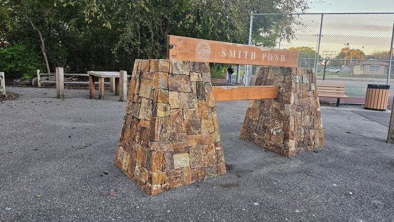
The marker is located behind the entrance to Smith Pond.
Other nearby markers. At least 8 other markers are within walking distance of this marker: English Laws and the Native American Experience (within shouting distance of this marker); The Rev. Dr. Morgan Days Park (about 400 feet away, measured in a direct line); The Civil Rights Conscience of the Community (approx. 0.2 miles away); A Sacred and Significant Landmark (approx. 0.2 miles away); The Living Shoreline of Lister Park (approx. ¼ mile away); a different marker also named The Rev. Dr. Morgan Days Park (approx. ¼ mile away); The Wreck of the Mexico - January 2, 1837 (approx. ¼ mile away); The Wreck of the Bristol - November 21, 1836 (approx. 0.3 miles away). Touch for a list and map of all markers in Rockville Centre.
Photographed by Ian Lefkowitz, October 15, 2025
3. Resident Birds Marker
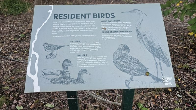
A nearby environmental marker identifies birds that may be found in Mill River year-round, including killdeer, mallards, great blue herons, and double-crested cormorants.
Photographed by Ian Lefkowitz, October 15, 2025
4. Smith Pond
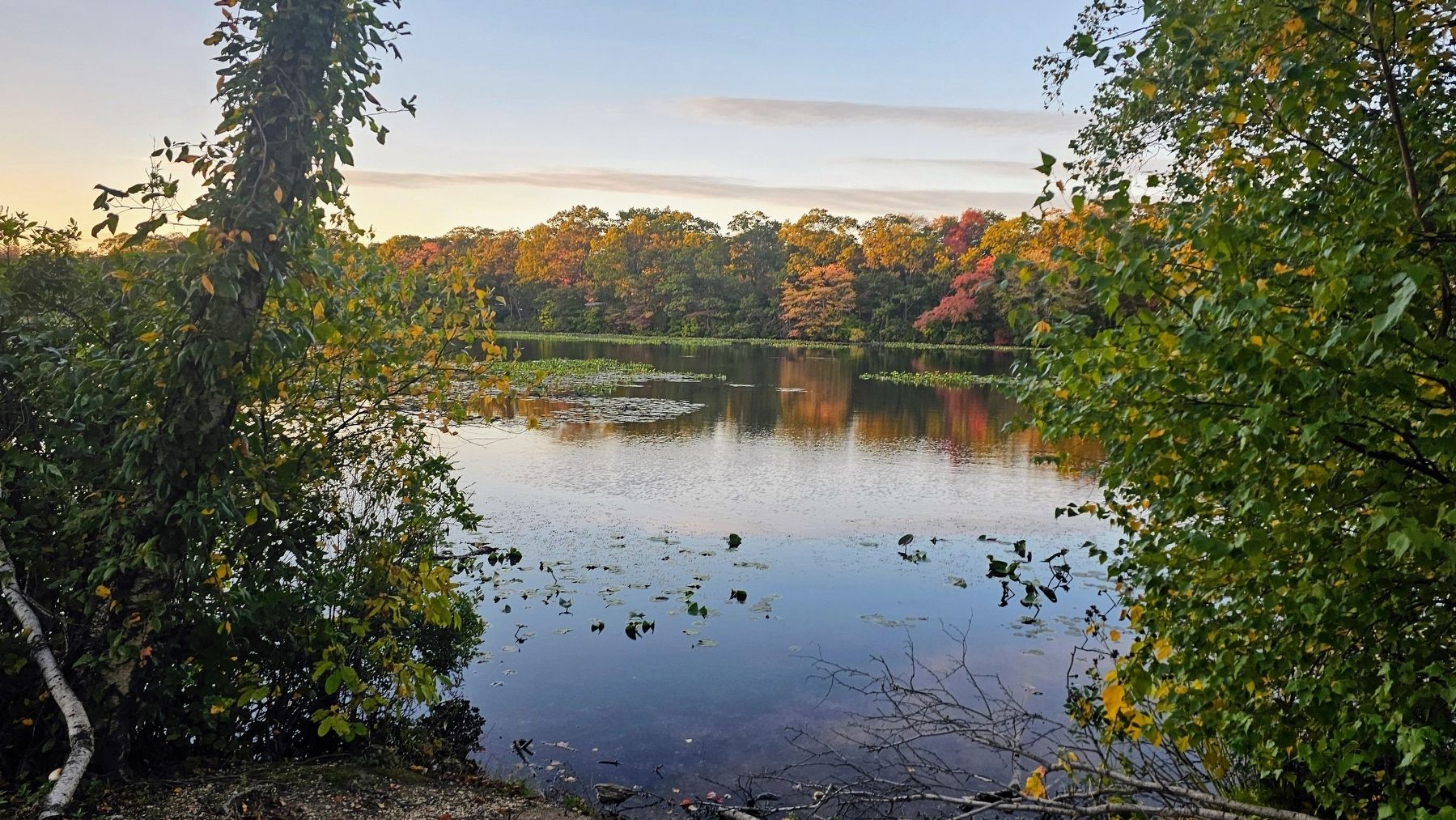
A view of Rockville Centre's foundational Smith Pond.
Credits. This page was last revised on October 23, 2025. It was originally submitted on October 19, 2025, by Ian Lefkowitz of New York, New York. This page has been viewed 149 times since then and 104 times this year. Photos: 1, 2, 3, 4. submitted on October 19, 2025, by Ian Lefkowitz of New York, New York. • Andrew Ruppenstein was the editor who published this page.
