
Guelph-Eramosa in Wellington County, Ontario — Central Canada (North America)
History of the Centennial Cairn
Photographed by Tim Boyd, October 18, 2025
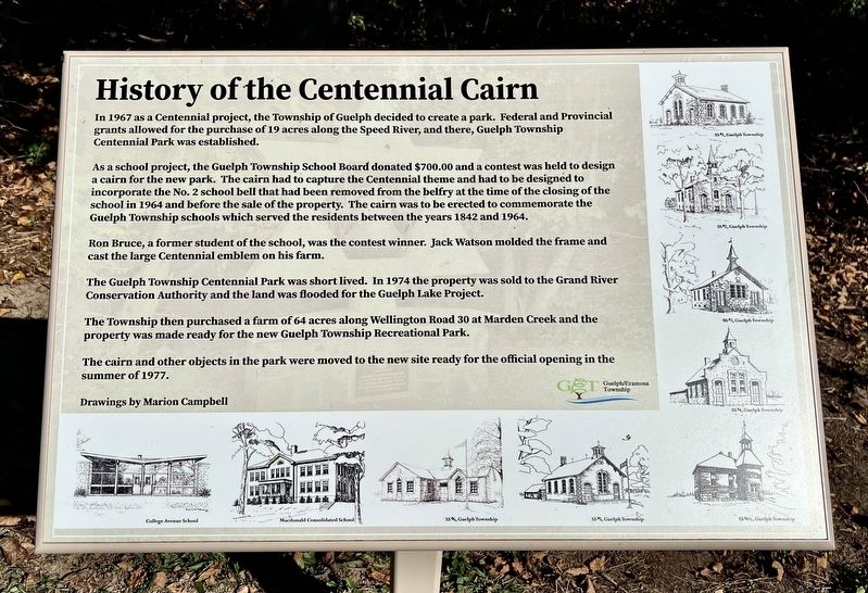
1. History of the Centennial Cairn Marker
 In 1967 as a Centennial project, the Township of Guelph decided to create a park. Federal and Provincial grants allowed for the purchase of 19 acres along the Speed River, and there, Guelph Township Centennial Park was established.
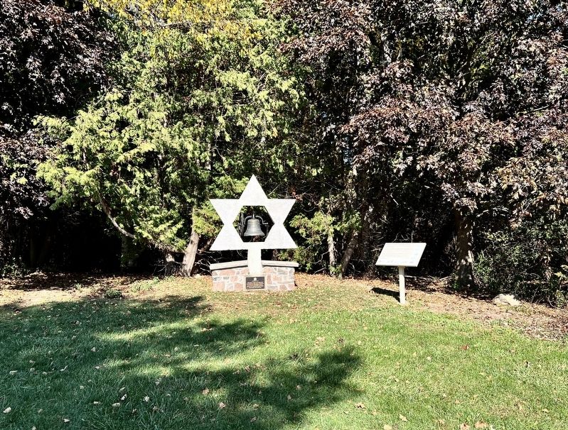
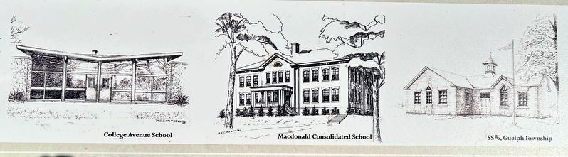
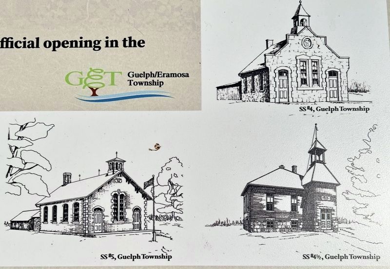
As a school project, the Guelph Township School Board donated $700.00 and a contest was held to design a cairn for the new park. The cairn had to capture the Centennial theme and had to be designed to incorporate the No. 2 school bell that had been removed from the belfry at the time of the closing of the school in 1964 and before the sale of the property. The cairn was to be erected to commemorate the Guelph Township schools which served the residents between the years 1842 and 1964.
Ron Bruce, a former student of the school, was the contest winner. Jack Watson molded the frame and cast the large Centennial emblem on his farm.
The Guelph Township Centennial Park was short lived. In 1974 the property was sold to the Grand River Conservation Authority and the land was flooded for the Guelph Lake Project.
The Township then purchased a farm of 64 acres along Wellington Road 30
this page online
The cairn and other objects in the park were moved to the new site ready for the official opening in the summer of 1977.
Erected by Guelph Township.
Topics. This historical marker is listed in these topic lists: Education • Parks & Recreational Areas. A significant historical year for this entry is 1967.
Location. 43° 34.815′ N, 80° 18.624′ W. Marker is in Guelph-Eramosa, Ontario, in Wellington County. It can be reached from Marden Road. The marker is beside the cairn in Marden Park, approx. 200 metres from the entrance to the park off Marden Road. Touch for map. Marker is at or near this postal address: 7376 Marden Rd, Guelph-Eramosa ON N1H 6J2, Canada. Touch for directions.

Regionally, this marker is in the Huron-Perth-Waterloo-Wellington Area and in Southwestern Ontario. It is also in Central Canada. Globally, it is in North America, the Western Hemisphere, the Western World, and the Anglosphere. Historically, it finds itself in what was once a British colony, the Viceroyalty of New France, the Haudenosaunee
Photographed by Tim Boyd, October 18, 2025
2. History of the Centennial Cairn Marker
To the right of the cairn
Other nearby markers. At least 8 other markers are within 6 kilometers of this marker, measured as the crow flies: Centennial Bell Cairn (here, next to this marker); Marian Brennan Enabling Garden (about 240 meters away, measured in a direct line); Goldie Mill Ruins (approx. 5.6 kilometers away); Edward Johnson (approx. 5.6 kilometers away); Robert Stewart Lumber Mill (approx. 5.6 kilometers away); Norwich Street Bridge (approx. 5.7 kilometers away); The Honourable George Alexander Drew, C.C. / L’Honorable George Alexander Drew, C.C. (approx. 5.8 kilometers away); Guelph Public Library / Bibliothèque publique de Guelph (approx. 6.1 kilometers away). Touch for a list and map of all markers in Guelph-Eramosa.
Photographed by Tim Boyd, October 18, 2025
3. History of the Centennial Cairn marker illustrations (lower left)
Photographed by Tim Boyd, October 18, 2025
4. History of the Centennial Cairn marker illustrations (lower right)
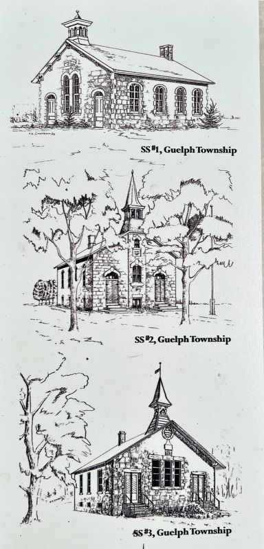
Photographed by Tim Boyd, October 18, 2025
5. History of the Centennial Cairn marker illustrations (upper right)
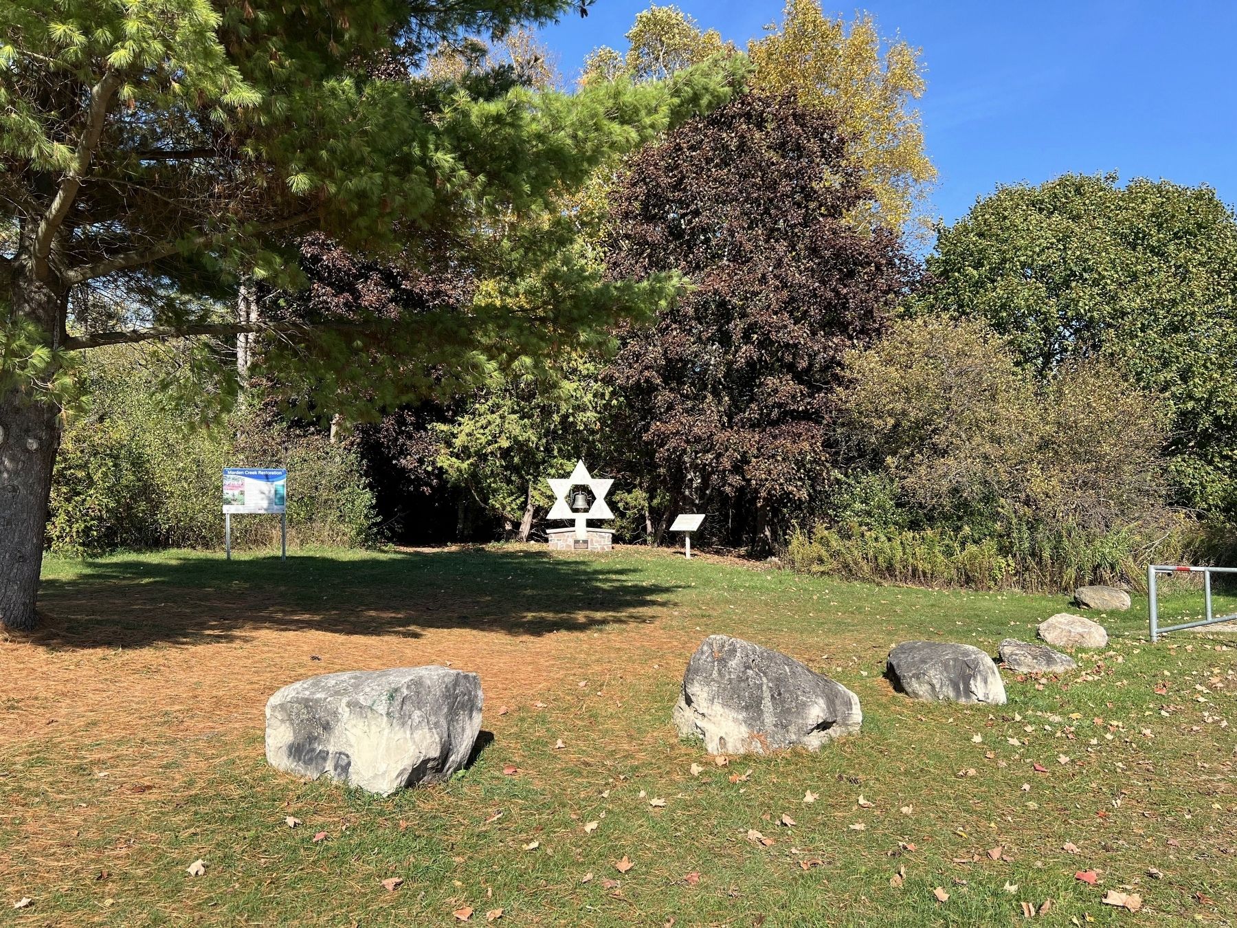
Photographed by Tim Boyd, October 18, 2025
6. History of the Centennial Cairn Marker
Credits. This page was last revised on December 21, 2025. It was originally submitted on October 19, 2025, by Tim Boyd of Hamilton, Ontario. This page has been viewed 50 times since then and 19 times this year. Photos: 1, 2, 3, 4, 5, 6. submitted on October 19, 2025, by Tim Boyd of Hamilton, Ontario. • Andrew Ruppenstein was the editor who published this page.
