Near Hammond in Clatsop County, Oregon — The American West (Northwest)
The Wreck of the Peter Iredale
Photographed by Barry Swackhamer, September 23, 2017
1. The Wreck of the Peter Iredale Marker
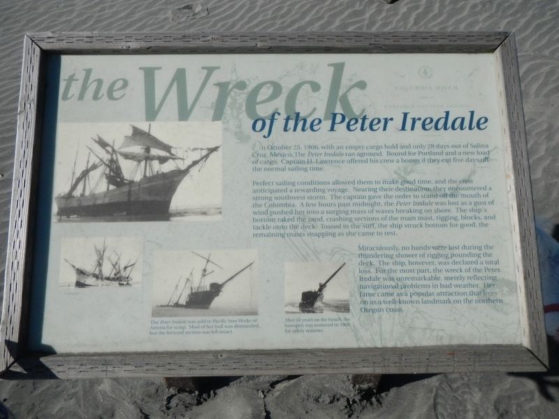
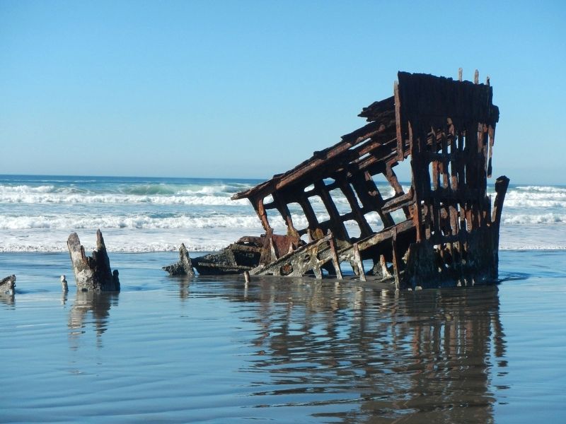
Captions: ( bottom, second from the left) The Peter Iredale was sold to Pacific Iron Works of Astoria for scrap. Most of her hull was dismantled, but the forward section was left intact.; (bottom center) After 54 years on the beach, the bowsprit was removed in 1960 for safety reasons.
On October 25, 1906, with an empty cargo hold and only 28 days out of Salina Cruz Mexico, the Peter Iredale ran aground. Bound for Portland and a new load of cargo, Captain H. Lawrence offered his crew a bonus if they cut five days off the normal sailing time.
Perfect sailing conditions allowed them to make good time, and the crew anticipated a rewarding voyage. Nearing their destination, they encountered a strong southwest storm. The captain gave the order to stand off the mouth of the Columbia. A few hours past midnight, the Peter Iredale was lost as a gust of wind pushed her into a surging mass of waves breaking on shore. The ship's bottom raked the sand, crashing sections of the main mast, rigging, blocks, and tackle onto the deck, Tossed in the surf, the ship struck bottom for good, the remaining masts snapping as she came to rest. bar Miraculously, no hands were lost during the thundering shower of rigging pounding the deck. The ship, however, was declared a total loss. For the most part, the wreck of the Peter Iredale was unremarkable, merely reflecting navigational problems in bad weather. Her fame came as
this page online
Erected by Oregon State Parks.
Topics. This historical marker is listed in these topic lists: Disasters • Waterways & Vessels. A significant historical date for this entry is October 25, 1906.
Location. Marker has been permanently removed. It was located near 46° 10.675′ N, 123° 58.81′ W. Marker was near Hammond, Oregon, in Clatsop County. It could be reached from Peter Iredale Rd near Burma Road. The marker has been replaced with a new marker, with similar text as of 2025. Touch for map. Marker was in this post office area: Hammond OR 97121, United States of America.
We have been informed that this marker is no longer there and will not be replaced. This page is an archival view of what was.
Regionally, this marker was on the Oregon Coast. It was also on the American Pacific Coast, in the Pacific Northwest, and in the Lewis & Clark Corridor. Globally, it was in North America, on the Pacific Rim, in the Western Hemisphere, in the Western World, and in the Anglosphere.

Other nearby markers. At least 8 other markers are within 6 miles of this location, measured as the crow flies:
Photographed by Barry Swackhamer, September 23, 2017
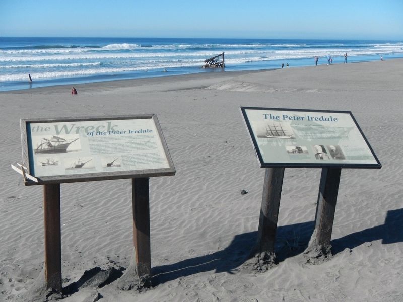
2. The Wreck of the Peter Iredale Marker
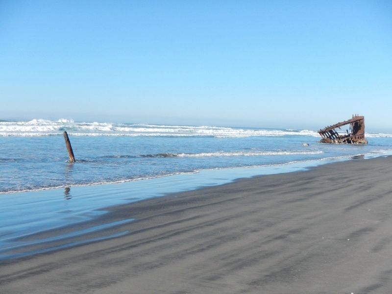
Another marker is no longer nearby. The Peter Iredale (was here, next to this marker but has been permanently removed).
More about this marker. The marker and the Peter Iredale are in Fort Stevens State Park on the beach at the end of Peter Iredale Road.
Additional keywords. The Wreck of the Peter Iredale
Photographed by Barry Swackhamer, September 23, 2017
3. The Wreck of the Peter Iredale
Photographed by Barry Swackhamer, September 23, 2017
4. The Wreck of the Peter Iredale
Credits. This page was last revised on October 22, 2025. It was originally submitted on February 2, 2018, by Barry Swackhamer of Brentwood, California. This page has been viewed 842 times since then and 80 times this year. Last updated on October 19, 2025, by William Thievon of Hofheim am Taunus, Germany. Photos: 1, 2, 3, 4. submitted on February 2, 2018, by Barry Swackhamer of Brentwood, California. • Devry Becker Jones was the editor who published this page.
