Near Hammond in Clatsop County, Oregon — The American West (Northwest)
The Peter Iredale
Photographed by Barry Swackhamer, September 23, 2017
1. The Peter Iredale Marker
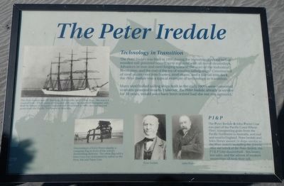
Captions: (upper left) The Peter Iredale was 287 feet long, 30 feet wide, and 23 feet deep. She was a 4 masted bark - 3 fore masts with square sails and 1 aft mast with triangular sails. Built by Riston of Mayport, England and christened in 1890, she transported grain from the Pacific Northwest to Australia.; (lower left) Descendants of John Porter display a company flag in front of the wreck's diminishing skeleton. The white flag with a blue cross was nicknamed by sailors as the Pens, Ink and Paper Line.; (bottom center) Peter Iredale (l), John Porter (r).
Technology in Transition
The Peter Iredale was built in 1890 during the transitional period before wooden sail powered vessels were replaced with all metal steamships. Advances in iron and steel forging marked the start of the Industrial Revolution, and the end of the era of wooden sailing ships. Constructed of steel plates over iron frames, steel masts, and a partial iron deck, the Peter Iredale was a typical example of technology in transition.
Many steel hulled sailing ships built in the early 1900s were converted to steam-powered vessels. However, the Peter Iredale already in service for 16 years, would soon have been retired had she not run aground.
PI&P
The Peter Iredale & John Porter Line was part of the Pacific Coast Wheat Fleet, transporting grain from the Pacific Northwest to Australia, and coal and wool to England. Peter Iredale and John Porter owned 24 ships similar to the Peter Iredale, including the Astoria. After the wreck of the Peter Iredale the PI&P Line diminished. Sea losses, low sales, and the advent of modern steamships all took their toll.
Erected by Oregon State Parks.
this page online
Topics. This historical marker is listed in this topic list: Waterways & Vessels.
Location. Marker has been permanently removed. It was located near 46° 10.675′ N, 123° 58.809′ W. Marker was near Hammond, Oregon, in Clatsop County. It could be reached from Peter Iredale Rd near Burma Road. The marker has ben replaced with new markers. Touch for map. Marker was in this post office area: Hammond OR 97121, United States of America.
We have been informed that this marker is no longer there and will not be replaced. This page is an archival view of what was.
Regionally, this marker was on the Oregon Coast. It was also on the American Pacific Coast, in the Pacific Northwest, and in the Lewis & Clark Corridor. Globally, it was in North America, on the Pacific Rim, in the Western Hemisphere, in the Western World, and in the Anglosphere.

Other nearby markers. At least 8 other markers are within 6 miles of this location, measured as the crow flies: A different marker also named The Wreck of the Peter Iredale (about 300 feet away, measured in a direct line); Shipwrecks on a Perilous Coast
Photographed by Barry Swackhamer, September 23, 2017
2. The Peter Iredale Marker
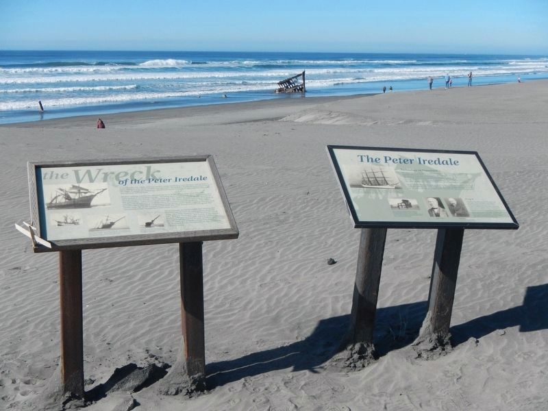
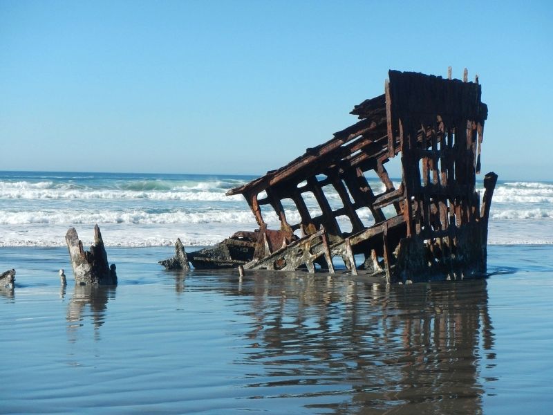
The Wreck of the Peter Iredale is in the background.
Another marker is no longer nearby. The Wreck of the Peter Iredale (was here, next to this marker but has been permanently removed).
More about this marker. The marker and the Peter Iredale are in Fort Stevens State Park on the beach at the end of Peter Iredale Road.
Additional keywords. The Peter Iredale
Photographed by Barry Swackhamer, September 23, 2017
3. The Wreck of the Peter Iredale
Credits. This page was last revised on October 22, 2025. It was originally submitted on February 2, 2018, by Barry Swackhamer of Brentwood, California. This page has been viewed 890 times since then and 64 times this year. Last updated on October 19, 2025, by William Thievon of Hofheim am Taunus, Germany. Photos: 1, 2, 3. submitted on February 2, 2018, by Barry Swackhamer of Brentwood, California. • Devry Becker Jones was the editor who published this page.
