Milford Mine Memorial Park near Wolford in Crow Wing County, Minnesota — The American Midwest (Upper Plains)
Road to Manganese
| — | Milford Mine Memorial Park | — |
Photographed by McGhiever, June 27, 2025
1. Road to Manganese Marker
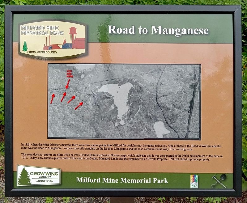
In 1924 when the Mine Disaster occurred, there were two access points into Milford for vehicles (not including railways). One of these is the Road to Wolford and the other was the Road to Manganese. You are currently standing on the Road to Manganese and the road continues west away from walking trails.
This road does not appear on either 1913 or 1915 United States Geological Survey maps which indicates that it was constructed in the initial development of the mine in 1917. Today, only about a quarter mile of this road is on County Managed Lands and the remainder is on Private Property. 150 feet ahead is private property.
Erected by Crow Wing County.
Topics. This historical marker is listed in this topic list: Roads & Vehicles. A significant historical year for this entry is 1917.
Location. 46° 32.113′ N, 93° 58.75′ W. Marker is near Wolford, Minnesota, in Crow Wing County. It is in Milford Mine Memorial Park. It can be reached from Milford Lake Drive. The marker is a little way south of trail intersection 7. Touch for map. Marker is in this post office area: Crosby MN 56441, United States of America. Touch for directions.

Regionally,
this page online
Other nearby markers. At least 8 other markers are within walking distance of this marker: Milford Mine Rail Loop (about 300 feet away, measured in a direct line); Railroad Construction on the Cuyuna Range (about 600 feet away); Barrow Pits for Rail Grade & Road Construction (approx. 0.2 miles away); Cuyuna Iron Range Railway: Spanning Rivers, Lakes, & Wetlands (approx. 0.2 miles away); Soo Line Railroad Hauls Cuyuna Ore (approx. ¼ mile away); Storage Facility (approx. ¼ mile away); Dikes (approx. ¼ mile away); Boarding House (approx. ¼ mile away). Touch for a list and map of all markers in Wolford.

Photographed by McGhiever, June 27, 2025
2. Road to Manganese Marker on a trail in Milford Mine Memorial Park
Credits. This page was last revised on October 19, 2025. It was originally submitted on October 19, 2025, by McGhiever of Minneapolis, Minnesota. This page has been viewed 46 times since then and 15 times this year. Photos: 1, 2. submitted on October 19, 2025, by McGhiever of Minneapolis, Minnesota.
