
Near Lowell in Lake County, Indiana — The American Midwest (Great Lakes)
Granary
Photographed by Daniel Barriball, October 12, 2025
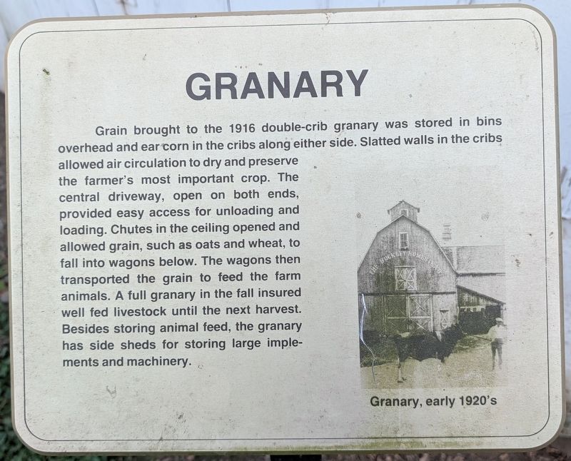
1. Granary Marker
Grain brought to the 1916 double-crib granary was stored in bins overhead and ear corn in the cribs along either side. Slatted walls in the cribs allowed air circulation to dry and preserve the farmer's most important crop. The central driveway, open on both ends, provided easy access for unloading and loading. Chutes in the ceiling opened and allowed grain, such as oats and wheat, to fall into wagons below. The wagons then transported the grain to feed the farm animals. A full granary in the fall insured well fed livestock until the next harvest. Besides storing animal feed, the granary has side sheds for storing large implements and machinery.
Erected by Lake County Parks & Rec.
Topics. This historical marker is listed in this topic list: Agriculture. A significant historical year for this entry is 1916.
Location. 41° 16.887′ N, 87° 22.704′ W. Marker is near Lowell, Indiana, in Lake County. It is on Belshaw Road west of Hendricks Street, on the right when traveling east. This marker is located within Buckley Homestead County Park. Touch for map. Marker is at or near this postal address: 3691 Belshaw Rd, Lowell IN
this page online

Regionally, this marker is in Northwest Indiana and in the Calumet Region. It is also in the American Midwest and in the Corn Belt. Globally, it is in North America, on the Great Lakes, in the Western Hemisphere, in the Western World, and in the Anglosphere. Historically, it finds itself in what was once the territory of the Mississippian Culture and also the Northwest Territory.
Other nearby markers. At least 8 other markers are within walking distance of this marker: Milkhouse / Silo (within shouting distance of this marker); Hired Hands House (within shouting distance of this marker); Barn (within shouting distance of this marker); House (within shouting distance of this marker); Garage (within shouting distance of this marker); Family History (about 700 feet away, measured in a direct line); Log House (approx. 0.2 miles away); Schoolhouse (approx. 0.2 miles away). Touch for a list and map of all markers in Lowell.
Photographed by Daniel Barriball, October 12, 2025
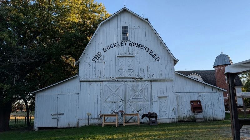
2. Granary Marker in context
The marker is to the left of the granary doors.
Credits. This page was last revised on October 22, 2025. It was originally submitted on October 20, 2025, by Daniel Barriball of Chesterton, Indiana. This page has been viewed 48 times since then and 15 times this year. Photos: 1, 2. submitted on October 20, 2025, by Daniel Barriball of Chesterton, Indiana. • Devry Becker Jones was the editor who published this page.
