Mille Lacs Kathio State Park near Onamia in Mille Lacs County, Minnesota — The American Midwest (Upper Plains)
Spruce Forest
10,000 B.C.–8,000 B.C.
| — | Kathio Landmark Trail: The Forest through Time | — |

Photographed by McGhiever, May 29, 2025
1. Spruce Forest Marker
By 12,000 years ago, a forest dominated by black spruce trees had developed. Over the next 2,000 years the climate continued to stabilize, and the forest came to include increasing numbers of balsam fir and birch as well as spruce.
• White Pine Forest
• Northern Hardwood Forest
• Oak Savanna
• Red Pine Forest
• Spruce Forest
• Tundra
Erected 2013 by Minnesota Department of Natural Resources.
Topics. This historical marker is listed in this topic list: Environment.
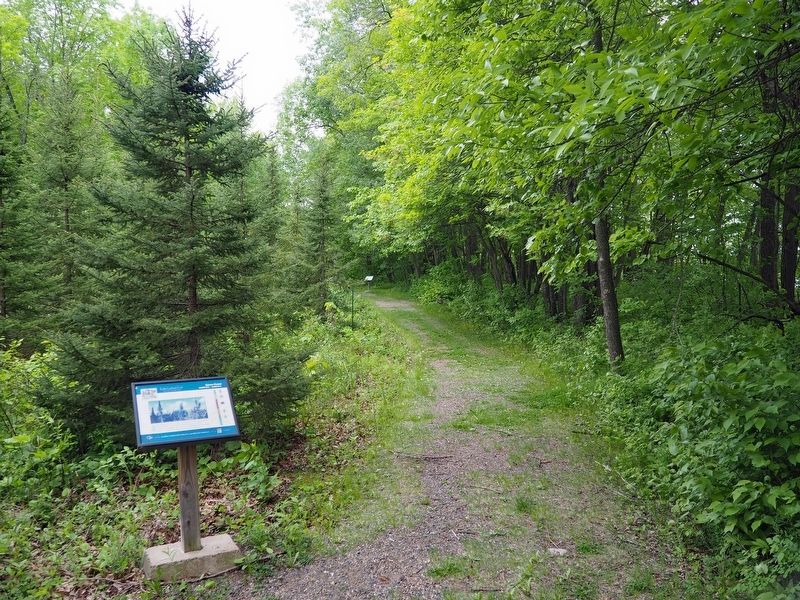
Location. 46° 8.924′ N, 93° 46.125′ W. Marker is near Onamia, Minnesota, in Mille Lacs County. It is in Mille Lacs Kathio State Park. It can be reached from no nearby street. The marker is on the east loop of the Kathio Landmark Trail. Touch for map. Marker is in this post office area: Onamia MN 56359, United States of America. Touch for directions.

Regionally, this marker is in Central Minnesota. It is also in the American Midwest and in the Corn Belt. Globally, it is in North America, the Western Hemisphere, the Western World, and the Anglosphere. Historically, it finds itself in what
this page online
Other nearby markers. At least 8 other markers are within walking distance of this marker: The Ice Age (within shouting distance of this marker); Removal, Restoration, Reuse (within shouting distance of this marker); Red Pine & Jack Pine Forest (within shouting distance of this marker); The Forest through Time (within shouting distance of this marker); Oak Savanna (about 300 feet away, measured in a direct line); Reading the Cultural Landscape (about 300 feet away); Family Homesteads (about 400 feet away); The Wilford Site (about 400 feet away). Touch for a list and map of all markers in Onamia.
Photographed by McGhiever, May 29, 2025
2. Spruce Forest Marker on the Kathio Landmark Trail
Credits. This page was last revised on October 20, 2025. It was originally submitted on October 20, 2025, by McGhiever of Minneapolis, Minnesota. This page has been viewed 36 times since then and 14 times this year. Photos: 1, 2. submitted on October 20, 2025, by McGhiever of Minneapolis, Minnesota.
