
Centre Wellington in Wellington County, Ontario — Central Canada (North America)
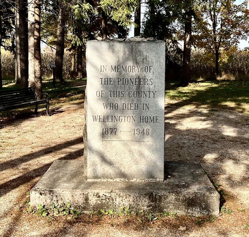
Wellington Home Cemetery Memorial
Photographed by Tim Boyd, October 18, 2025
1. Wellington Home Cemetery Memorial Marker
Topics. This historical marker and memorial is listed in this topic list: Cemeteries & Burial Sites. A significant historical year for this entry is 1877.
Location. 43° 41.45′ N, 80° 23.71′ W. Marker is in Centre Wellington, Ontario, in Wellington County. It is on Wellington Road 18 1.1 kilometers west of Beatty Line, on the right when traveling east. Touch for map. Marker is at or near this postal address: 0930 Wellington Road 18, Centre Wellington ON N0B 1S0, Canada. Touch for directions.

Regionally, this marker and memorial is in the Huron-Perth-Waterloo-Wellington Area and in Southwestern Ontario. It is also in Central Canada. Globally, it is in North America, the Western Hemisphere, the Western World, and the Anglosphere. Historically, it finds itself in what was once a British colony, the Viceroyalty of New France, the Haudenosaunee (Iroquois) Confederacy, and Rupert’s Land.
Other nearby markers. At least 8 other markers are within walking distance of this marker: Crosses, Plaques and Trees (a few steps from this
this page online
Photographed by Tim Boyd, October 18, 2025
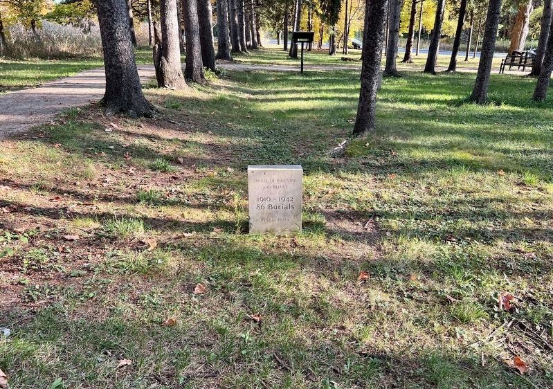
2. Wellington Home Cemetery typical marker for burials that occurred in a period of time
No original individual markers survive
Photographed by Tim Boyd, October 18, 2025
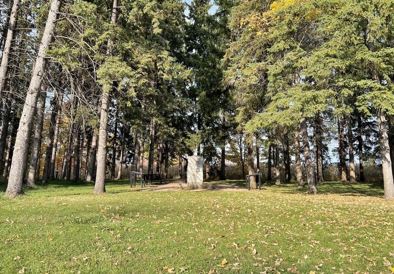
3. Wellington Home Cemetery Memorial
Credits. This page was last revised on October 21, 2025. It was originally submitted on October 21, 2025, by Tim Boyd of Hamilton, Ontario. This page has been viewed 36 times since then and 14 times this year. Photos: 1, 2, 3. submitted on October 21, 2025, by Tim Boyd of Hamilton, Ontario. • Andrew Ruppenstein was the editor who published this page.
