
Centre Wellington in Wellington County, Ontario — Central Canada (North America)
Crosses, Plaques and Trees
Photographed by Tim Boyd, October 18, 2025
1. Crosses, Plaques and Trees Marker
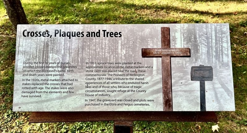
In the 1920s, metal markers attached to stakes replaced the crosses that had rotted with age. The stakes were also damaged from the elements and few have survived.
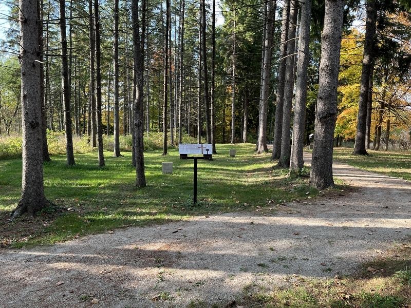
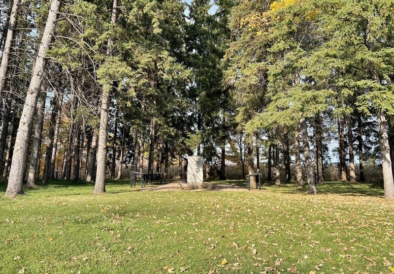
In 1951, spruce trees were planted at the approximate location of the metal markers and a stone cairn was placed near the road. These commemorate 'The Pioneers of Wellington County, 1877-1946’, a tribute to the shared experiences of all settlers who endured harsh lives and of those who, because of tragic circumstances, sought refuge at the County House of Industry.
In 1947, the graveyard was closed and plots were purchased in the Elora and Fergus cemeteries.
Topics. This historical marker is listed in this topic list: Cemeteries & Burial Sites. A significant historical year for this entry is 1951.
Location. 43° 41.462′ N, 80° 23.705′ W. Marker is in Centre Wellington, Ontario, in Wellington County. It can be reached from Wellington Road 18. The marker is on the grounds of the former House of Industry and Refuge Cemetery,
this page online

Regionally, this marker is in the Huron-Perth-Waterloo-Wellington Area and in Southwestern Ontario. It is also in Central Canada. Globally, it is in North America, the Western Hemisphere, the Western World, and the Anglosphere. Historically, it finds itself in what was once a British colony, the Viceroyalty of New France, the Haudenosaunee (Iroquois) Confederacy, and Rupert’s Land.
Other nearby markers. At least 8 other markers are within walking distance of this marker: The Burials: Age and Gender (a few steps from this marker); Wellington Home Cemetery Memorial (a few steps from this marker); The Notorious Jane Lewis (within shouting distance of this marker); Causes of Death (within shouting distance of this marker); The Funerals (within shouting distance of this marker); Families: the Cycle of Poverty (within shouting distance of this marker);
Photographed by Tim Boyd, October 18, 2025
2. Crosses, Plaques and Trees Marker
Photographed by Tim Boyd, October 18, 2025
3. Entrance to the cemetery from County Road 18
Credits. This page was last revised on October 22, 2025. It was originally submitted on October 22, 2025, by Tim Boyd of Hamilton, Ontario. This page has been viewed 41 times since then and 22 times this year. Photos: 1, 2, 3. submitted on October 22, 2025, by Tim Boyd of Hamilton, Ontario. • Andrew Ruppenstein was the editor who published this page.
