
Belmar Park in Lakewood in Jefferson County, Colorado — The American Mountains (Southwest)
1930s Farm House
Photographed by Leslie Eudy
1. 1930s Farm House Marker
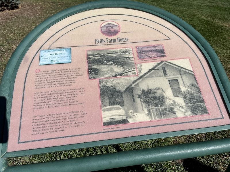
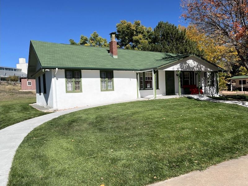
1930s Farm House
Oral history that this structure started out as a carriage house on the Hallack Estate at South Pierce Street and West Alameda Avenue. It is said that in the 1910s, worker rolled the structure on logs to the northeast corner of West Ohio Avenue and South Wadsworth Boulevard. Architectural evidence suggests at least two additions to the house’s central section.
After the move to Ohio Avenue, ownership and use of the house and land changed several times. A fish farm was followed by the Moore sheep farm. Later, by the mid 1940s, Maplecrest Turkey Farm occupied the spot. When plans to widen Wadsworth Boulevard targeted the house for demolition in 1956, May (Bonfils) Stanton owned it.
Mrs. Stanton sold the house to Lucy Webber who moved it to West Yale Avenue at Zuni Street. Again threatened with demolition when Zuni Street was scheduled for widening, the City of Denver purchased the house and deeded it to Lakewood’s Heritage Center for preservation. The house was moved here on April 10, 1980.
Topics. This historical marker is listed in these topic lists: Agriculture • Industry & Commerce. A significant historical date for this entry is April 10, 1980.
Location. 39° 42.132′ N,
this page online

Regionally, this marker is in Colorado’s Front Range. It is also in the American Mountain West. Globally, it is in North America, the Rocky Mountains, the Western Hemisphere, the Western World, and the Anglosphere. Historically, it finds itself in what was once the Louisiana Purchase.
Other nearby markers. At least 8 other markers are within walking distance of this marker: Streer-Peterson House (here, next to this marker); Victory Garden (a few steps from this marker); Glen Creighton Pump House and Matthews Water Tower (within shouting distance of this marker); Country School (within shouting distance of this marker); Auction House (within shouting distance of this marker); The 1920s and 1930s Family Farms

Photographed by Leslie Eudy, October 21, 2025
2. 1930s Farm House Marker
Photographed by Leslie Eudy, October 21, 2025
3. 1930s Farm House Marker
Credits. This page was last revised on October 22, 2025. It was originally submitted on October 22, 2025, by Leslie Eudy of Golden, Colorado. This page has been viewed 52 times since then and 22 times this year. Photos: 1, 2, 3. submitted on October 22, 2025, by Leslie Eudy of Golden, Colorado. • Andrew Ruppenstein was the editor who published this page.
