Port Washington in Nassau County, New York — The American Northeast (Mid-Atlantic)
Shaped by Necessity
Photographed by Ian Lefkowitz, October 18, 2025
1. Shaped by Necessity Marker
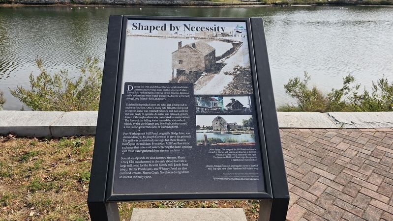
During the 17th and 18th centuries, local inhabitants constructed several mills on the shores of Manhasset Bay, reshaping its contour in the process. Because mills at that time were water-powered, dozens were built along Long Island’s bays and rivers.
Tidal mills depended upon the tides and a mill pond in order to function. Once a rising tide filled the mill pond reservoir, water was retained behind a mill dam until the mill was ready to operate. As water was released, gravity forced it through a sluiceway connected to a waterwheel. The force of the falling water turned the waterwheel, which, by the use of gears and flywheels, either turned a mill-stone, powered a saw, or worked a forge.
Port Washington’s Mill Pond, originally Dodge Inlet, was dammed in 1795 by Joseph Cornwall to serve his grist mill. The mill was demolished years ago but Shore Road is built upon the mill dam. Even today, Mill Pond has a tidal exchange that mixes salt water entering the dam’s opening with fresh water gathered from streams and rain.
Several local ponds are also dammed streams: Sheets Creek East was dammed in the early 1800’s to create a large
this page online
Captions:
(Main Image) The image of the Mill Pond and dam is circa 1875. Horses and wagons are lined up at the mill, whose A-shaped roof is seen at the top, right. The house on Mill Pond Road, right foreground, is Hall & Jones butcher shop.
(Insets) Antique postcards showing two views of the Old Mill. Top right: view of the Plandome Mill built in 1693.
Photo credits: The Port Washington Public Library, Local History Center
Erected by Manhasset Bay Protection Committee.
Topics. This historical marker is listed in these topic lists: Industry & Commerce • Waterways & Vessels. A significant historical year for this entry is 1795.
Location. 40° 50.247′ N, 73° 41.935′ W. Marker is in Port Washington, New York, in Nassau County. It is on Mill Pond Road north of Morgan Place, on the right when traveling east. Touch for map. Marker is at or near this postal address: 35 Mill Pond Road, Port Washington NY 11050, United States of America. Touch for directions.

Regionally,
Photographed by Ian Lefkowitz, October 18, 2025
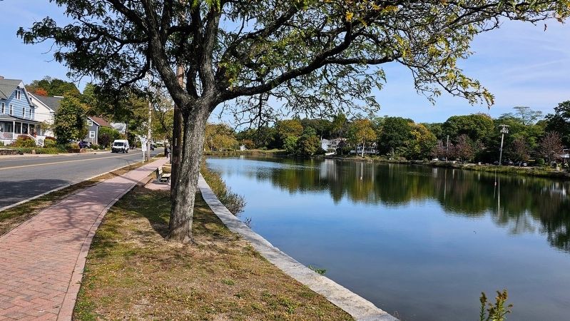
2. Mill Pond
Other nearby markers. At least 8 other markers are within walking distance of this marker: Home of Cato Sands Family (a few steps from this marker); Mill Pond Restoration (about 400 feet away, measured in a direct line); Mill Pond Model Yacht Club (about 400 feet away); One Home, Seven Generations (about 500 feet away); The Mill Pond Historic District (about 800 feet away); Robert H. Dayton Park (approx. 0.2 miles away); The Dawn of a Destination (approx. 0.2 miles away); Trash Talkin' (approx. 0.2 miles away). Touch for a list and map of all markers in Port Washington.
Photographed by Ian Lefkowitz, October 18, 2025
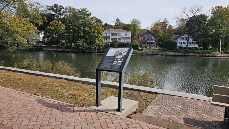
3. Shaped by Necessity Marker
The marker is located on the northern side of the pond.

Photographed by Ian Lefkowitz, October 18, 2025
4. Mill Pond Restoration
A nearby marker highlights efforts of the Town of North Hempstead to revitalize the pond.
Credits. This page was last revised on October 22, 2025. It was originally submitted on October 22, 2025, by Ian Lefkowitz of New York, New York. This page has been viewed 59 times since then and 31 times this year. Photos: 1, 2, 3, 4. submitted on October 22, 2025, by Ian Lefkowitz of New York, New York. • Andrew Ruppenstein was the editor who published this page.
