Mount Whitney in Inyo National Forest in Inyo County, California — The American West (Pacific Coastal)
John Muir Trail
High Sierra Trail
| — | Mount Whitney | — |
Photographed by Craig Baker
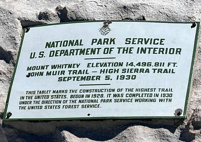
1. John Muir Trail Marker
National Park Service
U.S. Department of the Interior
Mount Whitney, elevation 14,496.811 ft.
John Muir Trail - High Sierra Trail
September 5, 1930
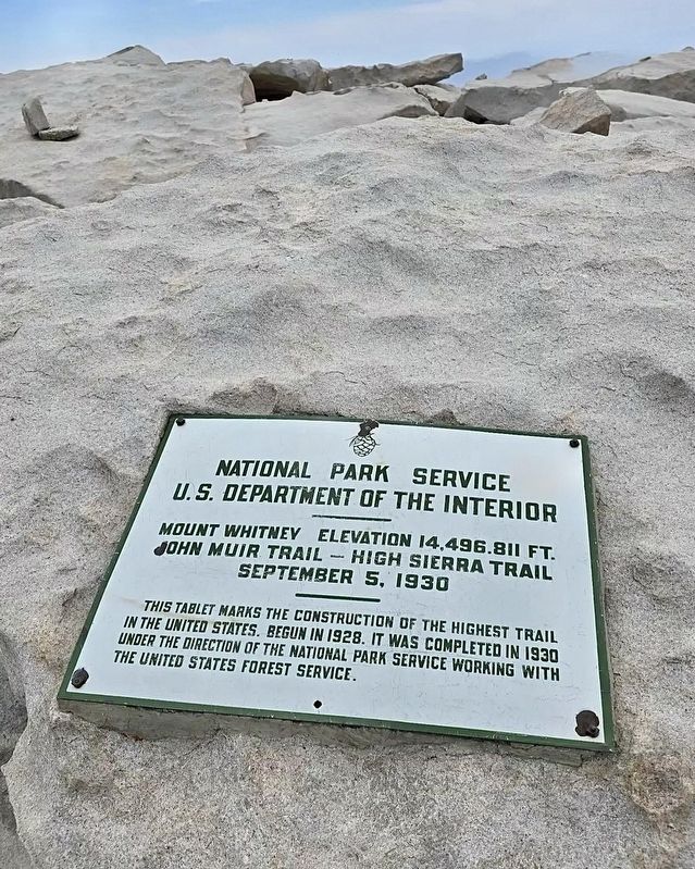
This tablet marks the construction of the highest trail in the United States. Begun in 1928, it was completed in 1930 under the direction of the National Park Service working with the United States Forest Service.
Erected 1930 by National Park Service - U.S. Department of the Interior.
Topics. This historical marker is listed in this topic list: Parks & Recreational Areas. A significant historical year for this entry is 1930.
Location. 36° 34.716′ N, 118° 17.539′ W. Marker is in Inyo National Forest, California, in Inyo County. It is in Mount Whitney. It can be reached from Mount Whitney Trail, 11 miles west of Whitney Portal. Hike 11 miles with an altitude gain of 7,000 feet - Permit required. Touch for map. Marker is in this post office area: Lone
this page online

Regionally, this marker is in the Sierra Nevada. It is also in the American Mountain West. Globally, it is in North America, on the Ring of Fire, on the Pacific Rim, in the Western Hemisphere, in the Western World, and in the Anglosphere. Historically, it finds itself in what was once New Spain and also Mexico’s Alta California.
Other nearby markers. At least 8 other markers are within 13 miles of this marker, measured as the crow flies: "Gunga Din" Filmed Here (approx. 9.8 miles away); Movie Flats (approx. 10.3 miles away); Manzanar Reservoir (approx. 12.4 miles away); Legacy (approx. 12½ miles away); Sacred Space (approx. 12½ miles away); Austere Landscape, Abundant Life (approx. 12.6 miles away); Alabama Gates (approx. 12.6 miles away); Caring for Those in Need (approx. 12.7 miles away).
Regarding John Muir Trail. Mount Whitney is the highest point in the
Photographed by Craig Baker
2. John Muir Trail Marker
The Mount Whitney summit is the terminus of the John Muir Trail, which runs 212 miles from Yosemite Valley, and the Mount Whitney Trail, which runs 11 miles from Whitney Portal. The John Muir Trail sees about 1,500 hikers each year. Most of the trail is part of the longer Pacific Crest Trail.
Much of the John Muir Trail follows the historic routes used by Native American Indians, known today as the Nium Trail.
In July 1864, members of the California Geological Survey named the peak after Josiah Whitney, the state geologist of California and sponsor of the survey.
On August 18, 1873, Charles Begole, A.H.
Photographed by Craig Baker
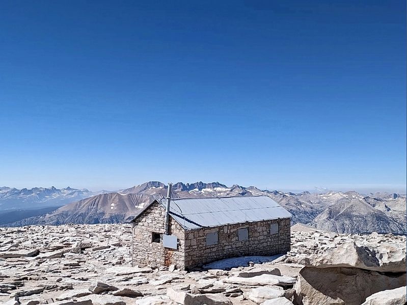
3. Mount Whitney Summit Shelter
Lone Pine residents financed the first trail to the summit, engineered by Gustave Marsh, and completed on July 22, 1904. Four days later, U.S. Bureau of Fisheries employee Byrd Surby was struck and killed by lightning while eating lunch on the summit. In response, Marsh began work on the stone hut, completing it in 1909.
Photographed by Craig Baker
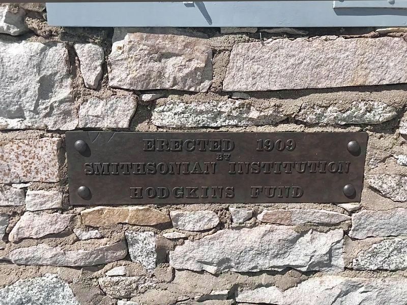
4. Mount Whitney Summit Shelter
Erected 1909 by Smithsonian Institution Hodgkins Fund.
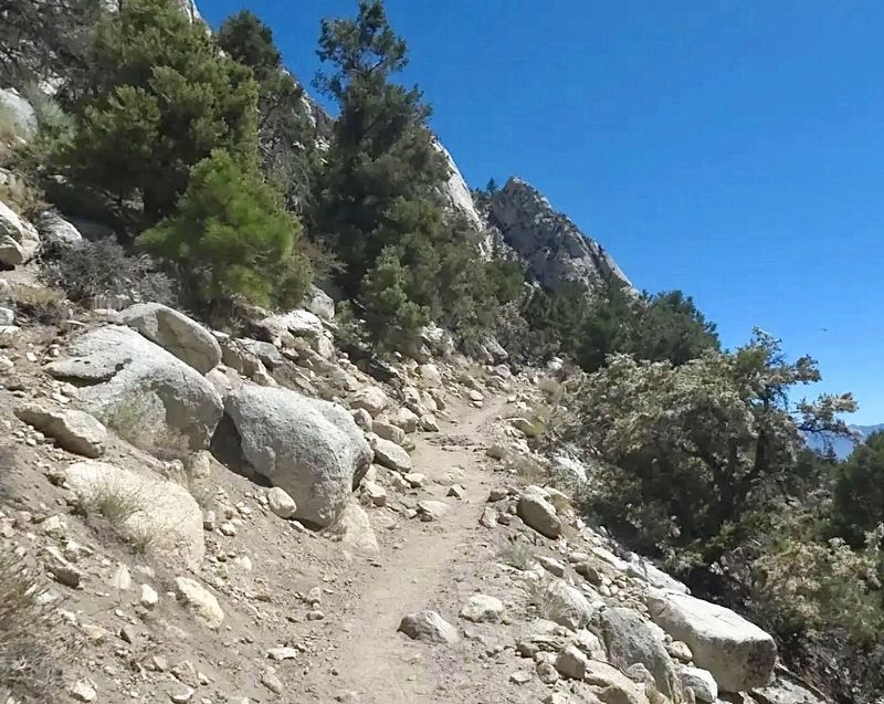
Photographed by Craig Baker
5. Mount Whitney Trail
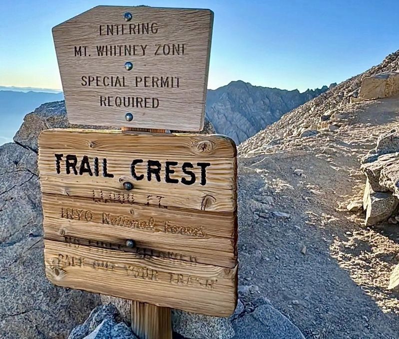
Photographed by Craig Baker
6. Mount Whitney Trail
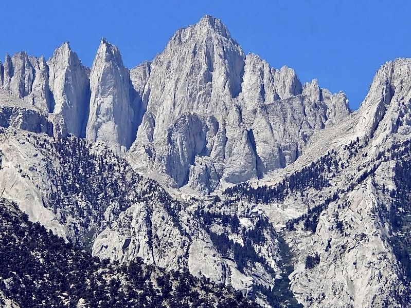
Photographed by Craig Baker
7. Mount Whitney
Credits. This page was last revised on October 24, 2026. It was originally submitted on October 23, 2025, by Craig Baker of Sylmar, California. This page has been viewed 97 times since then and 52 times this year. Photos: 1, 2, 3, 4, 5, 6, 7. submitted on October 23, 2025, by Craig Baker of Sylmar, California.
