North Stonington in Southeastern Region, Connecticut — The American Northeast (New England)
North Stonington
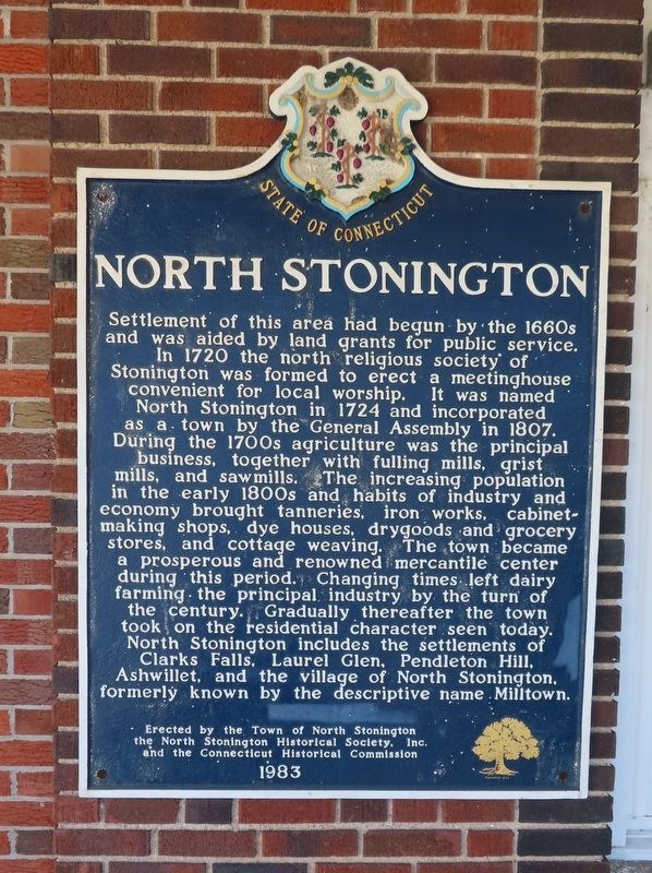
Photographed by Michael Herrick, October 22, 2025
1. North Stonington Marker
Settlement of this area had begun by the 1660s and was aided by land grants for public service. In 1720 the north religious society of Stonington was formed to erect a meetinghouse convenient for local worship. It was named North Stonington in 1724 and incorporated as a town by the General Assembly in 1807. During the 1700s agriculture was the principal business, together with fulling mills, grist mills, and sawmills. The increasing population in the early 1800s and the habits of industry and economy brought tanneries, iron works, cabinet-making shops, dye houses, drygoods and grocery stores, and cottage weaving. The town became a prosperous and renowned mercantile center during this period. Changing times left dairy farming the principal industry by the turn of the century. Gradually thereafter the town took on the residential character seen today. North Stonington includes the settlements of Clarks Falls, Laurel Glen, Pendleton Hill, Ashwillet, and the village of North Stonington, formerly known by the descriptive name Milltown.
Erected 1983 by The Town of North Stonington; the North Stonington Historical Society,
this page online
Topics. This historical marker is listed in these topic lists: Colonial Era • Settlements & Settlers. A significant historical year for this entry is 1720.
Location. 41° 26.447′ N, 71° 52.847′ W. Marker is in North Stonington in Southeastern Region, Connecticut. It is on Main Street south of Avery Lane, on the left when traveling south. Located on North Stonington Town Hall. Touch for map. Marker is at or near this postal address: 40 Main Street, North Stonington CT 06359, United States of America. Touch for directions.

Regionally, this marker is on the Connecticut Shoreline, in Greater New London, in Mystic and the Eastern Shore, and in the Thames River Valley. It is also in the American Northeast, in New England, and on the Eastern Seaboard. Globally, it is in the North Atlantic Region, North America, the Western Hemisphere, the Western World, and the Anglosphere. Historically, it finds itself in what was once New London County and also one of the original Thirteen Colonies.
Other nearby markers. At least 8 other markers are within walking distance of this marker:

Photographed by Michael Herrick, October 22, 2025
2. North Stonington Marker
and Town Hall
and Town Hall
Also see . . .
1. North Stonington, Connecticut. (Submitted on October 25, 2025, by Michael Herrick of Southbury, Connecticut.)
2. North Stonington, Connecticut (Wikipedia). (Submitted on October 25, 2025, by Michael Herrick of Southbury, Connecticut.)
Credits. This page was last revised on May 19, 2026. It was originally submitted on October 25, 2025, by Michael Herrick of Southbury, Connecticut. This page has been viewed 82 times since then and 43 times this year. Photos: 1, 2. submitted on October 25, 2025, by Michael Herrick of Southbury, Connecticut.
