Near Bryce Canyon City in Garfield County, Utah — The American Mountains (Southwest)
Fighting Fire with Fire
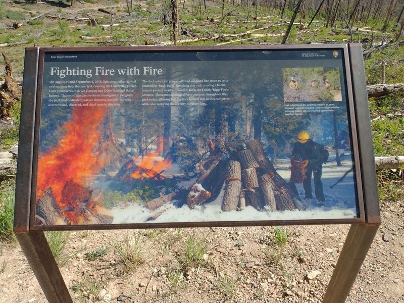
Photographed by Tom Bosse, June 13, 2025
1. Fighting Fire with Fire Marker
Erected by U.S. Department of the Interior.
Topics. This historical marker is listed in these topic lists: Disasters • Parks & Recreational Areas. A significant historical date for this entry is August 25, 2018.
Location. 37° 28.468′ N, 112° 14.307′ W.
this page online

Regionally, this marker is in Canyon Country and specifically in Color Country. It is also in the American Mountain West, on the Colorado Plateau, and at the Four Corners. Globally, it is in North America, the Western Hemisphere, the Western World, and the Anglosphere. Historically, it finds itself in what was once New Spain and also Mexico’s Alta California.

Other nearby markers. At least 8 other markers are within 11 miles of this marker, measured as the crow flies: A Lasting Legacy (approx. ¼ mile away); Giants of the Sky (approx. 4.9 miles away); A Forest Reborn (approx. 5.9 miles away); What’s in a Name? (approx. 10.1 miles away); Climbing the Grand Staircase (approx. 10.7 miles away); Bryce Amphitheater (approx. 11 miles away); Serial Homesteaders (approx. 11 miles away); The Legend People (approx. 11 miles away). Touch for a list and map of all markers in Bryce Canyon
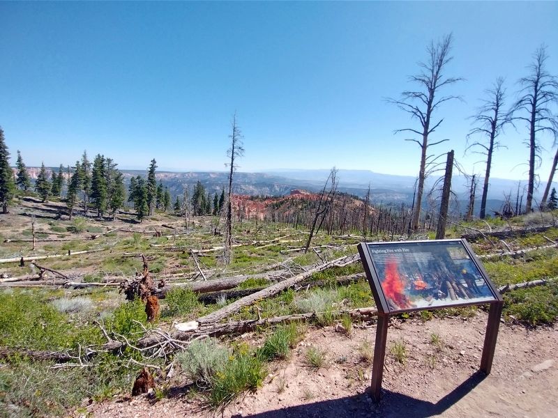
Photographed by Tom Bosse, June 13, 2025
2. Fighting Fire with Fire Marker
Also see . . . Fire History. (Submitted on October 26, 2025, by Tom Bosse of Jefferson City, Tennessee.)
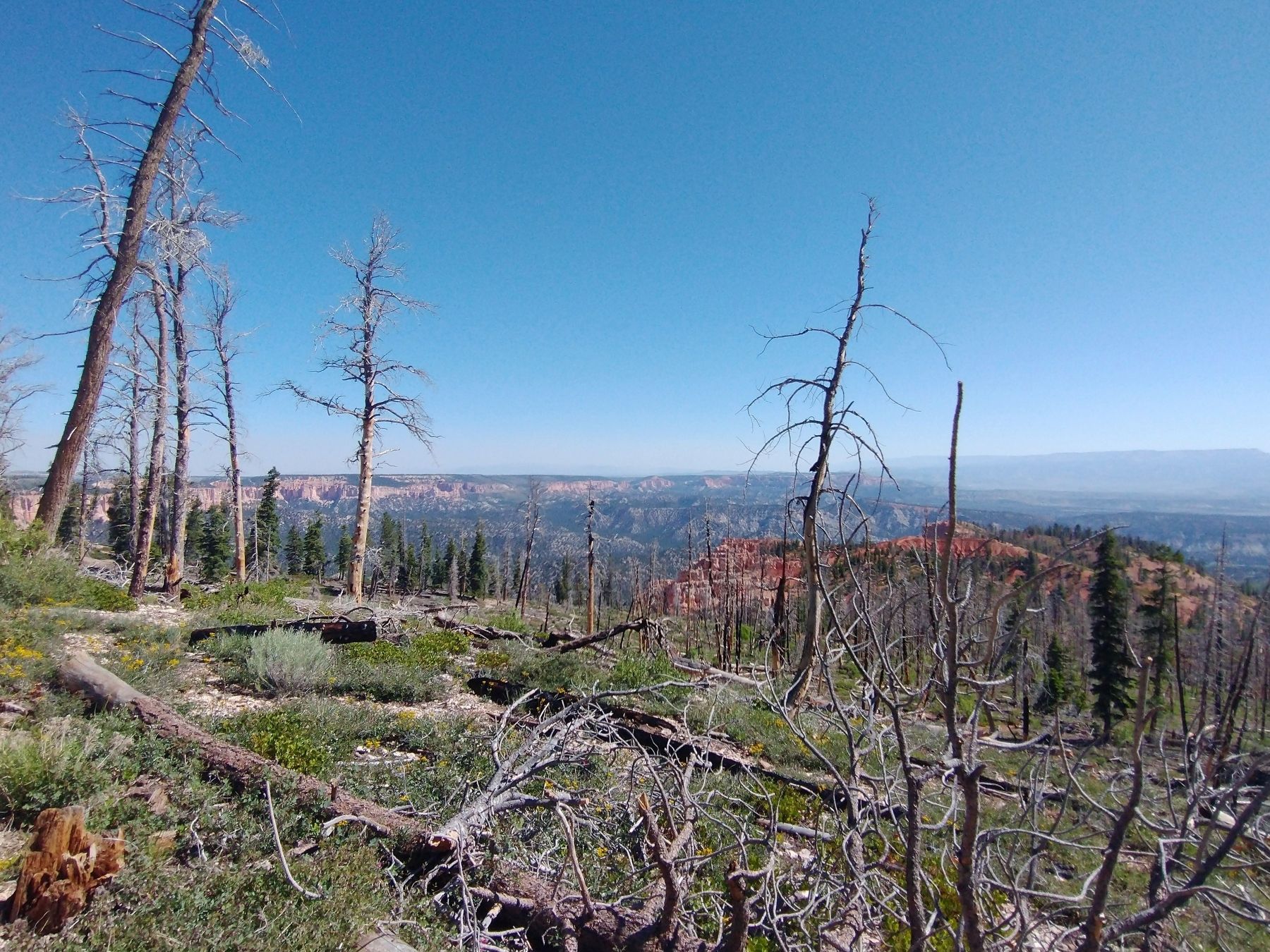
Photographed by Tom Bosse, June 13, 2025
3. Area impacted by the 2018 Lonely / Riggs Fire.
Credits. This page was last revised on October 26, 2025. It was originally submitted on October 26, 2025, by Tom Bosse of Jefferson City, Tennessee. This page has been viewed 80 times since then and 53 times this year. Photos: 1, 2, 3. submitted on October 26, 2025, by Tom Bosse of Jefferson City, Tennessee. • Andrew Ruppenstein was the editor who published this page.
