
Near Bishop in Inyo County, California — The American West (Pacific Coastal)
From Trail to Highway
Old Highway 23
Photographed by Craig Baker
1. From Trail to Highway Marker
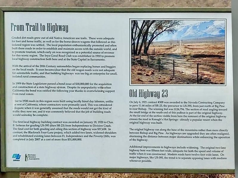
From Trail to Highway
Graded dirt roads grew out of old Native American use trails. These were adequate for foot and horse traffic, as well as for the horse-drawn wagons that followed as this isolated region was settled. The local population enthusiastically promoted and often built these roads in order to establish and maintain access with the outside world, and to promote tourism, which early on was recognized as a potential source of revenue for this scenic region. The Inyo Good Road Club was established in 1910 to promote local highway construction both here and at the State Capitol in Sacramento.
With the arrival of the 20th Century automobiles began replacing horses and buggies on the local roads. It soon became clear that the old wagon roads were not adequate for automobile traffic, and that building highways was too big an enterprise for small, isolated rural communities.
In 1909 the State Legislature passed a bond issue of $18,000,000 for the acquisition and construction of a state highway system. Despite its unpopularity with urban California the bond was ratified the following
this page online
Prior to 1920 roads in this region were built using locally hired day laborers, unlike the rest of California, where contractors were primarily used. This was considered adequate when it was generally assumed that the roads would not get the kind of traffic they now see, and it was commonly believed that the job of building roads would someday be complete.
The first local highway building contract was awarded on January 19, 1920 to Chas. B. Solteras for grading US-395 (then SR-23) from Independence to Division Creek. The final cost for both grading and oiling this section of highway was $37,658. In contrast, the Blackrock Four-Lane project, which added two lanes, widened shoulders and rehabilitated existing lanes between Ft. Independence and the Poverty Hills, was completed in July 2007 at a cost of more than $31,000,000.
Old Highway 23
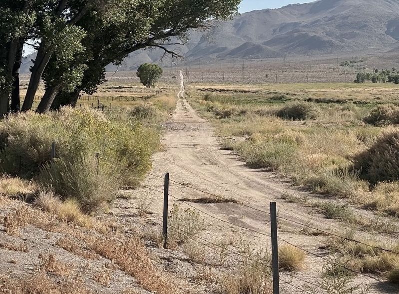
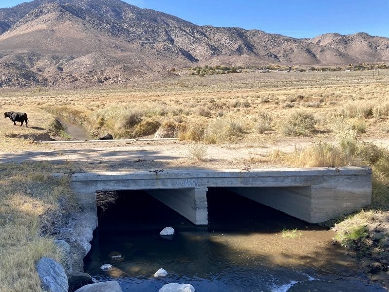
On July 6, 1921 contract #309 was awarded to the Nevada Contracting Company to pave 11.66 miles of SR-23, the precursor to US-395, from just north of Big Pine to near Bishop. The winning bid was $126,794. The

Photographed by Craig Baker
2. From Trail to Highway Marker
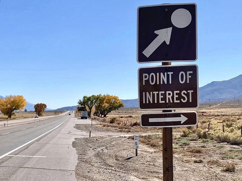
The marker faces Highway 395.
The original highway ran along the base of the mountains rather than more directly between Bishop and Big Pine. As highways are upgraded they are often realigned, shortening the distance between major destinations while enhancing the operation of the highway.
Additional improvements to highways include widening. The original two-lane highway here was fifteen feet wide, adequate for both the speed and volume of traffic when it was constructed. Modern roads have twelve foot wide lanes. On major highways, like US-395, the trend is to separate opposing lanes with medians whenever possible.
Erected by CalTrans.
Topics. This historical marker is listed in this topic list: Roads & Vehicles.
Location. 37° 16.251′ N, 118° 22.063′ W. Marker is near Bishop, California,
Photographed by Craig Baker
3. Old Highway 23
Located behind the marker.

Regionally, this marker is in California’s Sierra Nevada. It is also in the American Mountain West. Globally, it is in North America, on the Ring of Fire, in the Pacific Rim, in the Western Hemisphere, in the Western World, and in the Anglosphere. Historically, it finds itself in what was once New Spain and also Mexico’s Alta California.
Other nearby markers. At least 8 other markers are within 7 miles of this marker, measured as the crow flies: Keough’s Hot Springs (approx. 1.2 miles away); Schober Lane Campground (approx. 5.4 miles away); The Old Inyo County Jailhouse (approx. 6.3 miles away); Horace Marden Albright (approx. 6½ miles away); First United Methodist Church of Bishop (approx. 6½ miles away); The Ernest Kinney Teamster Family Mural (approx. 6.6 miles away); The Kittie Lee Inn (approx. 6.6 miles away); Whiskey Creek History (approx. 6.6 miles away). Touch for a list and map of all markers in
Photographed by Craig Baker, November 4, 2025
4. Sign at Highway
Another marker is no longer nearby. Dangerous Arrest (was approx. 6½ miles away but has been confirmed missing).
More about this marker. This marker was removed after being struck by a vehicle and has yet to be replaced.
Photographed by Craig Baker, October 30, 2025
5. Old Highway Bridge
Credits. This page was last revised on June 5, 2026. It was originally submitted on October 27, 2025, by Craig Baker of Sylmar, California. This page has been viewed 101 times since then and 60 times this year. Photos: 1, 2, 3. submitted on October 27, 2025, by Craig Baker of Sylmar, California. 4. submitted on November 4, 2025, by Craig Baker of Sylmar, California. 5. submitted on November 2, 2025, by Craig Baker of Sylmar, California.
