
Waterfront in Buffalo in Erie County, New York — The American Northeast (Mid-Atlantic)
Prime Slip
| — | Historic Transportation | — |
Photographed by Thomas Johnston
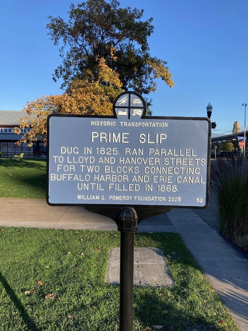
1. Prime Slip Marker
Prime Slip dug in 1825, filled in 1868.
Erected 2025 by William G. Pomeroy Foundation. (Marker Number 52.)
Topics and series. This historical marker is listed in this topic list: Waterways & Vessels. In addition, it is included in the Historic Transportation (WGPF) series list. A significant historical month for this entry is October 1825.
Location. 42° 52.595′ N, 78° 52.74′ W. Marker is in Buffalo, New York, in Erie County. It is in Waterfront. It is at the intersection of Prime Street and Hanover Street, on the right when traveling south on Prime Street. Canalside area downtown Buffalo. Touch for map. Marker is at or near this postal address: 46 Prime Street, Buffalo NY 14202, United States of America. Touch for directions.

Regionally, this marker is in Upstate New York and specifically in Western New York. It is also in the American Northeast and in the Mid-Atlantic. Globally, it is in North America, on the Great Lakes, in the Western Hemisphere, in the Western World, and in the Anglosphere. Historically, it finds itself
this page online
Other nearby markers. At least 8 other markers are within walking distance of this marker: Central Wharf (within shouting distance of this marker); The Erie Canal / Two Waterfronts (within shouting distance of this marker); "Buffalo" Balloon (within shouting distance of this marker); Rebirth & Renewal (within shouting distance of this marker); Harboring Hopes (within shouting distance of this marker); The Big Picture (about 300 feet away, measured in a direct line); The Ruins at Canalside (about 300 feet away); Buffalo - An Industrial Powerhouse (about 300 feet away). Touch for a list and map of all markers in Buffalo.
Also see . . . Prime Slip (William G. Pomeroy Foundation). Excerpt:
In October 1825, the 363-mile Erie Canal opened, connecting the Hudson River and Lake Erie and dramatically impacting the transportation of goods and people. Shortly before the opening of the canal, in the spring of 1825, a slip was dug to connect the Buffalo harbor to the Erie Canal. The slip ran parallel to Lloyd and Hanover Streets for two blocks. In addition to providing a connection between the harbor and the canal, it allowed space for docking and unloading shipments in the growing city.(Submitted on October 28, 2025.)
Credits. This page was last revised on October 28, 2025. It was originally submitted on October 27, 2025, by Thomas Johnston of Kenmore, New York. This page has been viewed 41 times since then and 19 times this year. Photo 1. submitted on October 27, 2025, by Thomas Johnston of Kenmore, New York. • Andrew Ruppenstein was the editor who published this page.
Editor’s want-list for this marker. Wide shot of the marker and its surroundings. • Can you help?
