Marker Logo
THE HISTORICAL
MARKER DATABASE
“Bite-Size Bits of Local, National, and Global History”
Wood Acres in Bethesda in Montgomery County, Maryland — The American Northeast (Mid-Atlantic)
 

Wood Acres' Grady Putnam Field
 
 
Wood Acres' Grady Putnam Field Marker image. Click for full size.
Photographed by Caroline Record, October 26, 2025
1. Wood Acres' Grady Putnam Field Marker
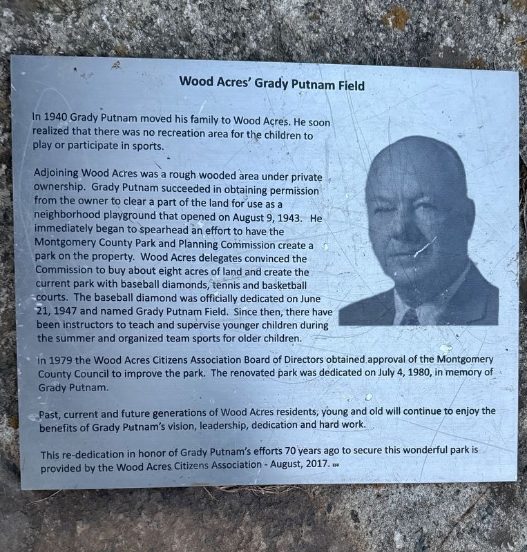
Inscription. In 1940 Grady Putnam moved his family to Wood Acres. He soon realized that there was no recreation area for the children to play or participate in sports. Adjoining Wood Acres was a rough wooded area under private ownership. Grady Putnam succeeded in obtaining permission from the owner to clear a part of the land for use as a neighborhood playground that opened on August 9, 1943. He immediately began to spearhead an effort to have the Montgomery County Park and Planning Commission create a park on the property. Wood Acres delegates convinced the Commission to buy about eight acres of land and create the current park with baseball diamonds, tennis and basketball courts. The baseball diamond was officially dedicated on June 21, 1947 and named Grady Putnam Field. Since then, there have been instructors to teach and supervise younger children during the summer and organized team sports for older children. In 1979 the Wood Acres Citizens Association Board of Directors obtained approval of the Montgomery County Council to improve the park. The renovated park was dedicated on July 4, 1980, in memory of Grady Putnam. Past, current
Paid Advertisement
Click or scan to see
this page online
and future generations of Wood Acres residents, young and old will continue to enjoy the benefits of Grady Putnam's vision, leadership, dedication and hard work. This re-dedication in honor of Grady Putnam's efforts 70 years ago to secure this wonderful park is provided by the Wood Acres Citizens Association - August, 2017.
 
Erected 2017 by Wood Acres Citizens Association.
 
Topics. This historical marker is listed in this topic list: Parks & Recreational Areas. A significant historical date for this entry is August 9, 1947.
 
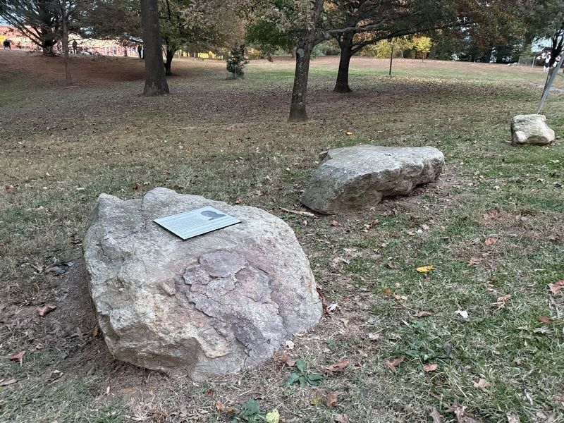
Location. 38° 58.025′ N, 77° 7.25′ W. Marker is in Bethesda, Maryland, in Montgomery County. It is in Wood Acres. It is on Wynnwood Road, on the left. Touch for map. Marker is at or near this postal address: 5850 Wynnwood Rd, Bethesda MD 20816, United States of America. Touch for directions.

Regionally, this marker is in the Washington Metropolitan Area. It is also in the American Mid-Atlantic. Globally, it is in the North Atlantic Region, North America, the Western Hemisphere, the Western World, and the Anglosphere. Historically, it finds itself in what was once one of the original Thirteen Colonies and also
Wood Acres' Grady Putnam Field Marker image. Click for full size.
Photographed by Caroline Record, October 27, 2025
2. Wood Acres' Grady Putnam Field Marker
the Antebellum South.

Other nearby markers. At least 8 other markers are within walking distance of this marker: Fort Sumner (approx. Ύ mile away); Loughborough Mill (approx. 0.9 miles away); a different marker also named Loughborough Mill (approx. 0.9 miles away); Glen Echo Park: Arcade (approx. 0.9 miles away); Neal Potter Plaza (approx. 0.9 miles away); a different marker also named Neal Potter Plaza (approx. 0.9 miles away); Glen Echo Park (approx. 0.9 miles away); Glen Echo Park: Protest Years 1960 (approx. one mile away). Touch for a list and map of all markers in Bethesda.
 
Other markers no longer nearby. Trolley Parks In America (was approx. 0.9 miles away but has been permanently removed); A Trolley Returns to Glen Echo (was approx. 0.9 miles away but has been confirmed missing); Glen Echo Park c. 1930 (was approx. 0.9 miles away but has been permanently removed); Glen Echo's Art Deco Arcade (was approx. 0.9 miles away but has been permanently removed).
 
Also see . . .  History of Wood Acres. Additional information about the History of the Wood Acres Neighborhood and S. Grady Putman's role in creating
Paid Advertisement
the park. (Submitted on October 29, 2025, by Caroline Record of Montrιal, Quιbec.) 
 
 
Credits. This page was last revised on November 5, 2025. It was originally submitted on October 28, 2025, by Caroline Record of Montrιal, Quιbec. This page has been viewed 49 times since then and 14 times this year. Photos:   1, 2. submitted on October 28, 2025, by Caroline Record of Montrιal, Quιbec. • Bill Pfingsten was the editor who published this page.

m=287322

CeraNet Cloud Computing sponsors the Historical Marker Database.
This website earns income from purchases you make after using our links to Amazon.com. We appreciate your support.
Paid Advertisement
Jul. 14, 2026