Lawrence Cultural District in Douglas County, Kansas — The American Midwest (Upper Plains)
Indigenous Lands
Photographed by Jason Voigt, October 30, 2025
1. Indigenous Lands Marker
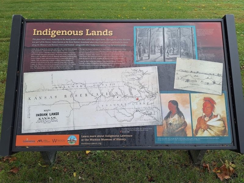
This place holds many meanings to the many peoples who have called this region home. Through the 1700s, this area was part of the Kanza (today known as the Kaw Nation) homeland where they lived, farmed, and traded in towns along the Missouri and Kansas rivers and hunted - along with other Indigenous nations - on the western plains.
In the 1800s, using deceit, coercion, and force, the United States pursued legal and physical control over the central plains. The U.S. colonized indigenous lands to redistribute them to American settlers, companies, and eventually land grant universities. The Treaty of 1825 compelled the Kanza to give up millions of acres in Missouri and Kansas, including what is now Douglas County, and restricted them to a reservation west of Topeka. Then, the federal government confined eastern indigenous nations to reservations on the newly acquired Kanza land. In Douglas County, the Shawnee reservation encompassed land south of the Kansas river, while the Delaware reservation incorporated land north of the river. The Delaware built a town in modern-day North Lawrence.
Through the Kansas-Nebraska
this page online
Today, the Kaw Nation, the Delaware Tribe, and the Shawnee Tribe are federally recognized Indigenous nations headquarters in Oklahoma, with citizens living all over the world, including in Kansas.
[Captions:]
Samuel Seymour sketch of a Kanza lodge at Blue Earth village, August 1819, while Kanza men performed the Dog Dance.
Illustration of the Kanza Blue Earth village in 1819 from the sketchbook of Titian Ramsay Peale.
Erected by City of Lawrence, Kaw Nation, Mellon Foundation and Watkins Museum of History.
Topics. This historical marker is listed in this topic list: Indigenous Peoples and Communities. A significant historical month for this entry is August 1819.
Location. 38° 58.403′ N, 95° 14.186′ W. Marker is in Lawrence, Kansas,
Photographed by Jason Voigt, October 30, 2025
2. Indigenous Lands Marker
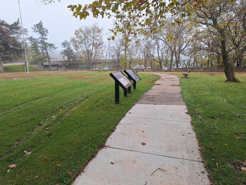
Marker (on the left) is located at Robinson Park.

Regionally, this marker is in Eastern Kansas and specifically in Bleeding Kansas Border War Country. It is also in the American Midwest, in the Corn Belt, on the prairies, on the Southern Plains, and on the Santa Fe Trail Corridor. Globally, it is in North America, the Western Hemisphere, the Western World, and the Anglosphere. Historically, it finds itself in what was once the Louisiana Purchase.
Other nearby markers. At least 8 other markers are within walking distance of this marker: Iⁿ'zhúje'waxóbe (here, next to this marker); Lynching in America / Lynching in Douglas County (within shouting distance of this marker); John Brown and the Siege of Lawrence, September 14-15, 1856 (about 600 feet away, measured in a direct line); Santa Fe Steam Locomotive 1073
Photographed by Jason Voigt, October 30, 2025
3. Indigenous Lands Marker
Also see . . . Watkins Museum of History (official website). (Submitted on October 31, 2025, by Jason Voigt of Glen Carbon, Illinois.)
Credits. This page was last revised on February 24, 2026. It was originally submitted on October 31, 2025, by Jason Voigt of Glen Carbon, Illinois. This page has been viewed 68 times since then and 24 times this year. Photos: 1, 2, 3. submitted on October 31, 2025, by Jason Voigt of Glen Carbon, Illinois.
