
Near Fort Calhoun in Washington County, Nebraska — The American Midwest (Upper Plains)
Tamed River Trade-off
Photographed by Barry Swackhamer, July 16, 2025
1. Tamed River Trade-off Marker
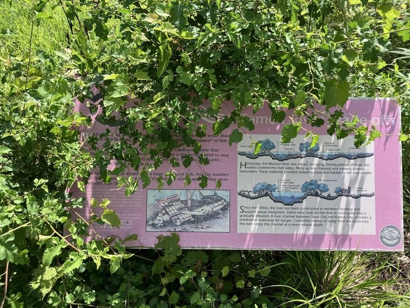
Caption: (lower left) Two annual flood cycles, one in the spring caused by local icemelt and another in the summer caused by rain and mountain snowmelt, create the necessary habitat for the pallid sturgeon to spawn and the young fish to hatch and mature. These dinosaur-like fish evolved in the Missouri River over millions of years, Building dams and changing the river channel to encourage barge navigation and control flooding also changed the river's cyclical action and habitat. A trade-off has been that the pallid sturgeon is now considered in danger of extinction.
Today, the river is much different Where Clark saw a river that "lately has changed its bed," we now see a river engineered to day put. Instead of a river and wetlands edged with forests and prairie, today there are farms and towns.
The explorers still would find a large variety of fish, but the number of fish is smaller and most of the fish are exotic species that were introduced into the river.
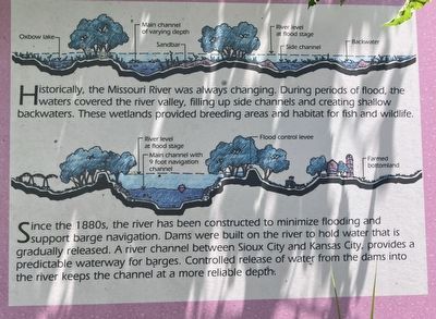
(sidebar on right:) Historically, the Missouri River was always changing. During periods of flood, the waters covered the river valley, filling up side channels and creating shallow backwaters. These wetlands provided breading areas and habitat for fish and wildlife.
Since the 1880s, the river has been constructed to minimize flooding and support barge navigation. Dams were built on the river to hold water that is gradually released. A river channel between Sioux City and Kansas City, provides a predictable waterway for badges. Controlled release of water from the dams into
this page online
Erected by Back to the River, National Park Service, City of Omaha, Papio-Missouri River Natural Resources District.
Topics and series. This historical marker is listed in this topic list: Environment. In addition, it is included in the Lewis & Clark Expedition series list.
Location. 41° 27.092′ N, 95° 57.029′ W. Marker is near Fort Calhoun, Nebraska, in Washington County. It can be reached from County Road 34 near Road 51. The marker is located at the Boyer Chute National Wildlife Refuge. Touch for map. Marker is in this post office area: Fort Calhoun NE 68023, United States of America. Touch for directions.

Regionally, this marker is in Eastern Nebraska and in Greater Omaha. It is also in the American Midwest, in the Lewis & Clark Corridor, in the Corn Belt, and on the prairies. Globally, it is in North America, the Western Hemisphere, the Western World, and the Anglosphere. Historically, it finds itself in what was once the Louisiana Purchase.
Other nearby markers. At least 8 other markers are within 4 miles
Photographed by Barry Swackhamer, July 16, 2025
2. Tamed River Trade-off Marker, detail
Photographed by Barry Swackhamer, July 16, 2025
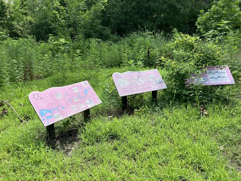
3. Tamed River Trade-off Marker, on the right
Credits. This page was last revised on November 2, 2025. It was originally submitted on October 31, 2025, by Barry Swackhamer of Brentwood, California. This page has been viewed 69 times since then and 33 times this year. Photos: 1, 2, 3. submitted on October 31, 2025, by Barry Swackhamer of Brentwood, California.
