Lansing in Fayette County, West Virginia — The American South (Appalachia)
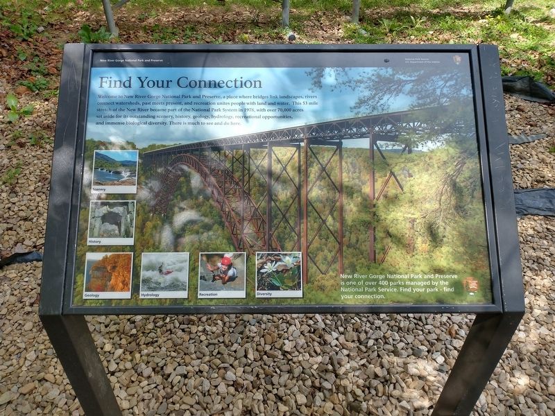
Find Your Connection
New River Gorge National Park and Preserve
| — | National Park Service, U.S. Department of the Interior | — |
Photographed by Tom Bosse, September 12, 2025
1. Find Your Connection Marker
Welcome to New River Gorge National Park and Preserve, a place where bridges link landscapes, rivers connect watersheds, past meets present, and recreation unites people with land and water. This 53 mile stretch of the New River became part of the National Park System in 1978, with over 70,000 acres set aside for its outstanding scenery, history, geology, hydrology, recreational opportunities, and immense biological diversity. There is much to see and do here.
[Caption:]
New River Gorge National Park and Preserve is one of over 400 parks managed by the National Park Service. Find your park – find your connection.
Erected by U.S. Department of the Interior - New River Gorge National Park and Preserve.
Topics. This historical marker is listed in this topic list: Parks & Recreational Areas. A significant historical year for this entry is 1978.
Location. 38° 4.241′ N, 81° 4.599′ W. Marker is in Lansing, West Virginia, in Fayette County. It is on Canyon Rim Boardwalk west of Visitor Center Road, on the right when traveling west. Marker is located near the Canyon Rim Visitor Center. Touch for map. Marker is at or near
this page online

Regionally, this marker is in the New River Gorge and in Greater Charleston Area. It is also in the American South, specifically in the Upper South, in Appalachia, and specifically in Southern Appalachia. Globally, it is in North America, the Western Hemisphere, the Western World, and the Anglosphere. Historically, it finds itself in what was once the territory of the Mississippian Culture.
Other nearby markers. At least 8 other markers are within walking distance of this marker: New River Gorge Bridge (a few steps from this marker); Welcome to New River Gorge National River (within shouting distance of this marker); New River Gorge Scenic Drives (about 300 feet away, measured in a direct line); The Deceptive Forest (about 300 feet away); New River (about 300 feet away); Smoke, Coke, Coal, and Kaymoor (about 300 feet away); The Bridge (about 400 feet away); Industrial Past of the New River Gorge (about 400 feet away). Touch for a list and map of all markers in Lansing.
Photographed by Tom Bosse, September 12, 2025
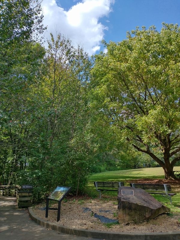
2. Find Your Connection Marker
Photographed by Tom Bosse, September 12, 2025
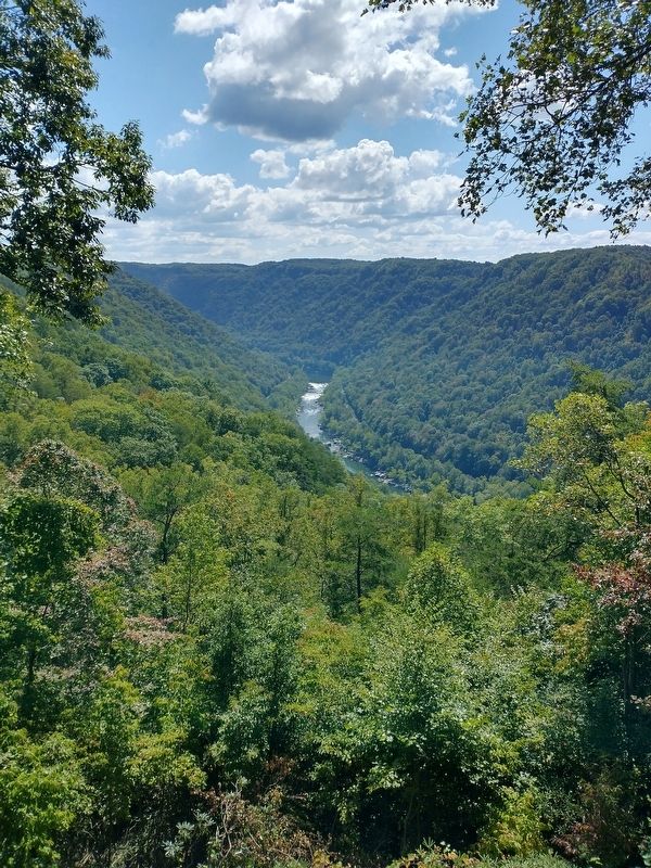
3. New River Gorge

Photographed by Tom Bosse, September 12, 2025
4. New River Gorge
Photographed by Tom Bosse, September 12, 2025
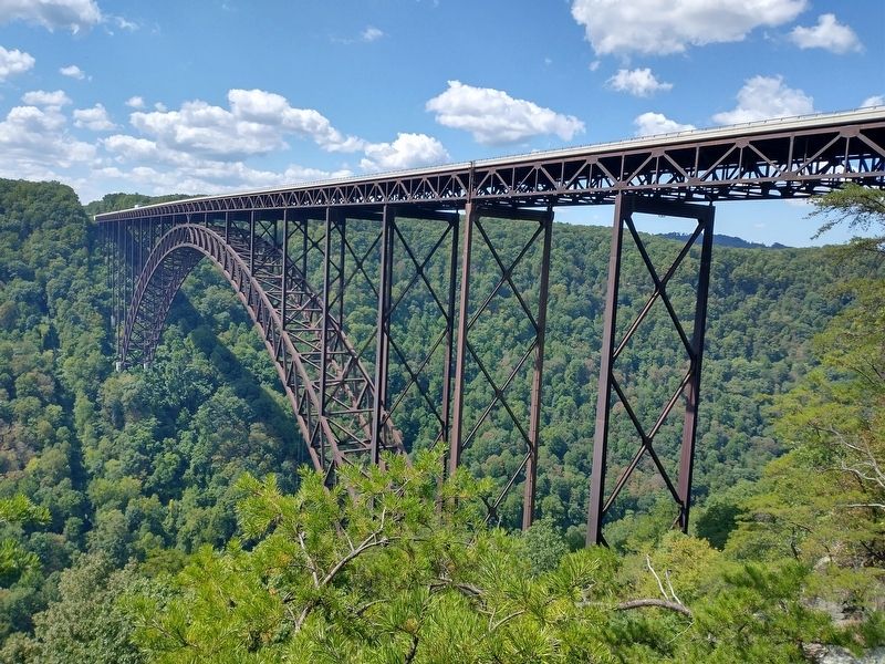
5. New River Gorge Bridge
Credits. This page was last revised on November 11, 2025. It was originally submitted on November 2, 2025, by Tom Bosse of Jefferson City, Tennessee. This page has been viewed 57 times since then and 25 times this year. Photos: 1, 2, 3, 4, 5. submitted on November 2, 2025, by Tom Bosse of Jefferson City, Tennessee. • Devry Becker Jones was the editor who published this page.
