Golden in Jefferson County, Colorado — The American Mountains (Southwest)
What's that "M"?
Photographed by Leslie Eudy
1. What's that "M"? Marker
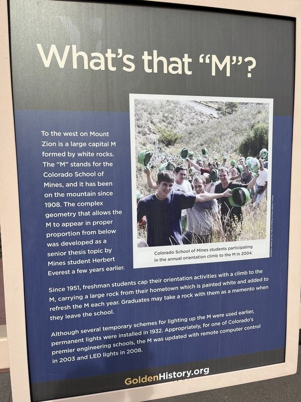
What’s that “M”?
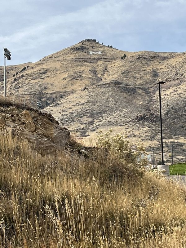
To the west on Mount Zion is a large capital M formed by white rocks. The “M” stands for the Colorado School of Mines, and it has been on the mountain since 1908. The complex geometry that allows the M to appear in proper proportion from below was developed as a senior thesis topic by Mines student Herbert Everest a few years earlier.
Since 1951, freshmen students cap their orientation activities with a climb to the M, carrying a large rock from their hometown which is painted white and added to refresh the M each year. Graduates may take a rock with them as a memento when they leave the school.
Although several temporary schemes for lighting up the M were used earlier, permanent lights were installed in 1932. Appropriately, for one of Colorado’s premier engineering schools, the M was updated with remote computer control in 2003 and LED lights in 2008.
Topics. This historical marker is listed in these topic lists: Education • Man-Made Features.
Location. 39° 45.349′ N, 105° 13.419′ W. Marker is in Golden, Colorado, in Jefferson County. It can
this page online

Regionally, this marker is in the Front Range. It is also in the American Mountain West. Globally, it is in North America, the Rocky Mountains, the Western Hemisphere, the Western World, and the Anglosphere. Historically, it finds itself in what was once the Louisiana Purchase.
Other nearby markers. At least 8 other markers are within walking distance of this marker: Guggenheim Hall (here, next to this marker); Colorado National Guard Armory (here, next to this marker); Castle Rock (here, next to this marker); Son of Liberty (within shouting distance of this marker); First Resident/Agriculturalist (about 300 feet away); Revolutionary War Patriots (about 400 feet away); Fearsome Floods (about 400 feet away); Floods on Clear Creek (about 400 feet away). Touch for a list and map of all
Photographed by Leslie Eudy, November 1, 2025
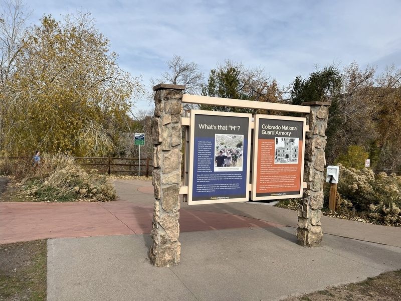
2. What's that "M"? Marker Wide View
Other markers no longer nearby. Rock Flour Millstone (was within shouting distance of this marker but has been confirmed missing); Down by the Old Mill Stream (was about 300 feet away, measured in a direct line but has been confirmed missing).
Photographed by Leslie Eudy, November 1, 2025
3. The M on Mount Zion
Credits. This page was last revised on November 2, 2025. It was originally submitted on November 2, 2025, by Leslie Eudy of Golden, Colorado. This page has been viewed 82 times since then and 47 times this year. Photos: 1, 2, 3. submitted on November 2, 2025, by Leslie Eudy of Golden, Colorado. • Andrew Ruppenstein was the editor who published this page.
