Solomons in Calvert County, Maryland — The American Northeast (Mid-Atlantic)
Patuxent Ghost Fleet (1927-1941)
Photographed by Devry Becker Jones (CC0), November 2, 2025
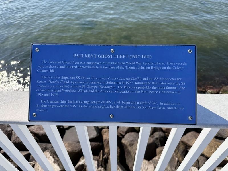
1. Patuxent Ghost Fleet (1927-1941) Marker
The Patuxent Ghost Fleet was comprised of four German World War I prizes of war. These vessels were anchored and moored approximately at the base of the Thomas Johnson Bridge on the Calvert County side.
The first two ships, the SS Mount Vernon (ex Kronprinzessin Cecile) and the SS Monticello (ex Kaiser Wilhelm II and Agamemnon), arrived in solmons in 1927. Joining the fleet later were the SS America (ex Amerika) and the SS George Washington. The later was probably the most famous. She carried President Woodrow Wilson and the American delegation to the Paris Peace Conference in 1918 and 1919.
The German ships had an average length of 705', and a 74' beam and a draft of 34'. In addition to the four ships were the 535' SS American Legion, her sister ship the SS Southern Cross, and the SS Artemis.
Topics and series. This historical marker is listed in these topic lists: War, World I • Waterways & Vessels. In addition, it is included in the Former U.S. Presidents: #28 Woodrow Wilson series list. A significant historical year for this entry is 1927.
Location. 38° 19.424′ N, 76° 27.663′ W. Marker is in Solomons, Maryland,
this page online

Regionally, this marker is in Southern Maryland. It is also in the American South, specifically in the Upper South, in the Mid-Atlantic, in the Tidewater, in the Chesapeake Bay Region, and on the Eastern Seaboard. Globally, it is in the North Atlantic Region, North America, the Western Hemisphere, the Western World, and the Anglosphere. Historically, it finds itself in what was once one of the original Thirteen Colonies and also the Antebellum South.
Other nearby markers. At least 8 other markers are within walking distance of this marker: The Chesapeake Bay Bugeye (within shouting distance of this marker); J. C. Lore & Sons Oyster House (within shouting distance of this marker); Tide Box (within shouting distance of this marker); War of 1812 (about 400 feet away, measured in a direct

Photographed by Devry Becker Jones (CC0), November 2, 2025
2. Patuxent Ghost Fleet (1927-1941) Marker
The Thomas Johnson Bridge is visible in the background.
Credits. This page was last revised on November 2, 2025. It was originally submitted on November 2, 2025, by Devry Becker Jones of Washington, District of Columbia. This page has been viewed 56 times since then and 30 times this year. Photos: 1, 2. submitted on November 2, 2025, by Devry Becker Jones of Washington, District of Columbia.
