Solomons in Calvert County, Maryland — The American Northeast (Mid-Atlantic)
War of 1812
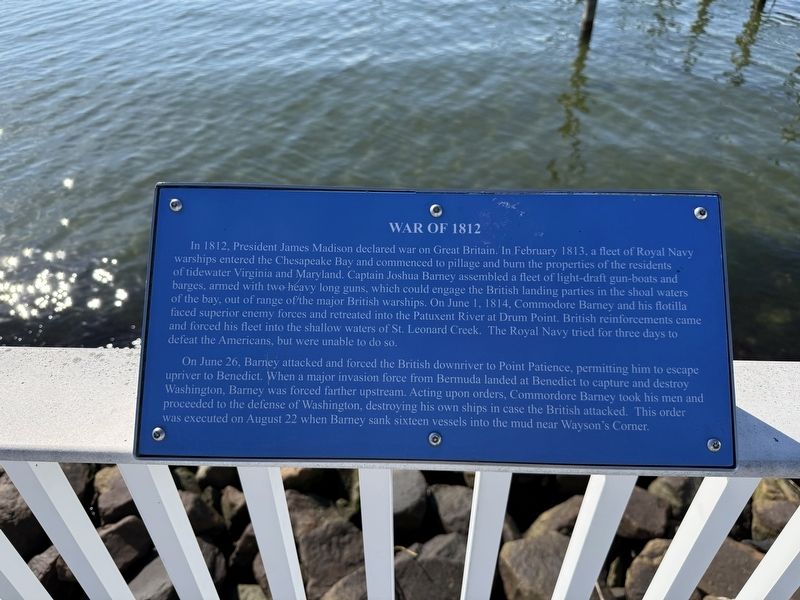
In 1812, President James Madison declared war on Great Britain. In February 1813, a fleet of Royal Navy warships entered the Chesapeake Bay and commenced to pillage and burn the properties of the residents of tidewater Virginia and Maryland. Captain Joshua Barney assembled a fleet of light-draft gun-boats and barges, armed with two heavy long guns, which could engage the British landing parties in the shoal waters of the bay, out of range of the major British warships. On June 1, 1814, Commodore Barney and his flotilla faced superior enemy forces and retreated into the Patuxent River at Drum Point. British reinforcements came and forced his fleet into the shallow waters of St. Leonard Creek. The Royal Navy tried for three days to defeat the Americans, but were unable to do so.
On June 26, Barney attacked and forced the British downriver to Point Patience, permitting him to escape upriver to Benedict. When a major invasion force from Bermuda landed at Benedict to capture and destroy Washington, Barney was forced farther upstream. Acting upon orders, Commodore Barney took his men and proceeded to the defense of Washington,
this page online
Topics. This historical marker is listed in these topic lists: War of 1812 • Waterways & Vessels. A significant historical date for this entry is June 1, 1814.
Location. 38° 19.36′ N, 76° 27.623′ W. Marker is in Solomons, Maryland, in Calvert County. It is on Solomons Island Road South south of Alexander Lane, on the right when traveling south. Touch for map. Marker is at or near this postal address: 14441 Solomons Island Rd S, Solomons MD 20688, United States of America. Touch for directions.

Regionally, this marker is in Southern Maryland. It is also in the American South, specifically in the Upper South, in the Mid-Atlantic, in the Tidewater, in the Chesapeake Bay Region, and on the Eastern Seaboard. Globally, it is in the North Atlantic Region, North America, the Western Hemisphere, the Western World, and the Anglosphere. Historically, it finds itself in what was once one of the original Thirteen Colonies and also the Antebellum South.
Other nearby markers. At

Credits. This page was last revised on November 2, 2025. It was originally submitted on November 2, 2025, by Devry Becker Jones of Washington, District of Columbia. This page has been viewed 53 times since then and 29 times this year. Photos: 1, 2. submitted on November 2, 2025, by Devry Becker Jones of Washington, District of Columbia.
