Solomons in Calvert County, Maryland — The American Northeast (Mid-Atlantic)
The ESSO Fleet
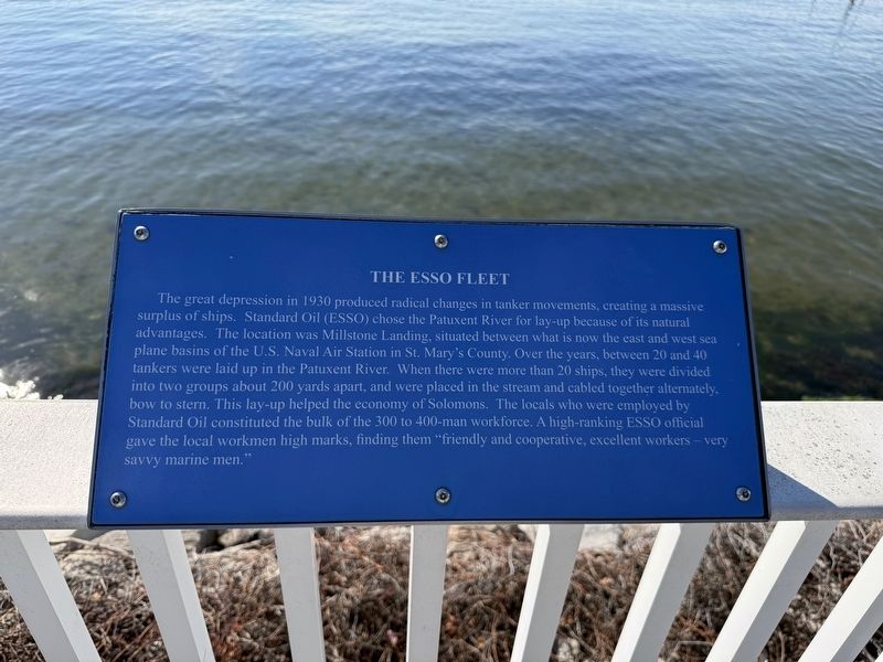
The great depression in 1930 produced radical changes in tanker movements, creating a massive surplus of ships. Standard Oil (ESSO) chose the Patuxent River for lay-up because of its natural advantages. The location was Millstone Landing, situated between what is now the east and west sea plane basins of the U.S. Naval Air Station in St. Mary's County. Over the years, between 20 and 40 tankers were laid up in the Patuxent River. When there were more than 20 ships, they were divided into two groups about 200 yards apart, and were placed in the stream and cabled together alternately, bow to stern. This lay-up helped the economy of Solomons. The locals who were employed by Standard Oil constituted the bulk of the 300 to 400-man workforce. A high-ranking ESSO official gave the local workmen high marks, finding them "friendly and cooperative, excellent workers — very savvy marine men."
Topics. This historical marker is listed in these topic lists: Industry & Commerce • Waterways & Vessels. A significant historical year for this entry is 1930.
Location. 38° 19.231′ N, 76° 27.499′ W. Marker is in Solomons, Maryland, in Calvert
this page online

Regionally, this marker is in Southern Maryland. It is also in the American South, specifically in the Upper South, in the Mid-Atlantic, in the Tidewater, in the Chesapeake Bay Region, and on the Eastern Seaboard. Globally, it is in the North Atlantic Region, North America, the Western Hemisphere, the Western World, and the Anglosphere. Historically, it finds itself in what was once one of the original Thirteen Colonies and also the Antebellum South.
Other nearby markers. At least 8 other markers are within walking distance of this marker: Majestic Patuxent River (within shouting distance of this marker); Patuxent River Naval Air Station (within shouting distance of this marker); Dewey Floating Dry Dock (about 300 feet away, measured in a direct line); Point Patience (about 400 feet away); Governor Thomas Johnson Bridge (about 700 feet away); Watery Grave (approx. 0.2 miles
Credits. This page was last revised on November 2, 2025. It was originally submitted on November 2, 2025, by Devry Becker Jones of Washington, District of Columbia. This page has been viewed 33 times since then and 10 times this year. Photos: 1, 2. submitted on November 2, 2025, by Devry Becker Jones of Washington, District of Columbia.
