Tuscaloosa in Tuscaloosa County, Alabama — The American South (East South Central)
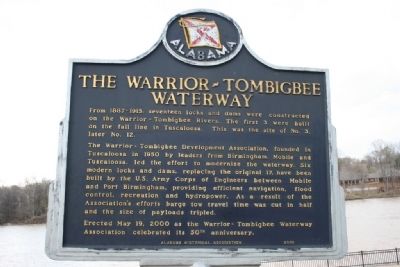
The Warrior-Tombigbee Waterway
From 1887-1915, seventeen locks and dams were constructed on the Warrior - Tombigbee Rivers. The first 3 were built on the fall line in Tuscaloosa. This was the site of No. 3, later No. 12.
The Warrior - Tombigbee Development Association, founded in Tuscaloosa in 1950 by leaders from Birmingham, Mobile and Tuscaloosa, led the effort to modernize the waterway. Six modern locks and dams, replacing the original 17, have been built by the U.S. Army Corps of Engineers between Mobile and Port Birmingham, providing efficient navigation, flood control, recreation and hydropower. As a result of the Association's efforts barge tow travel time was cut in half and the size of payloads tripled.
Erected May 19, 2000 as the Warrior - Tombigbee Waterway Association celebrated its 50th anniversary.
Erected 2000 by Alabama Historical Association.
Topics and series. This historical marker is listed in these topic lists: Government & Politics • Industry & Commerce • Waterways & Vessels. In addition, it is included in the Alabama Historical Association series list. A significant historical date for this entry is May 19, 2000.
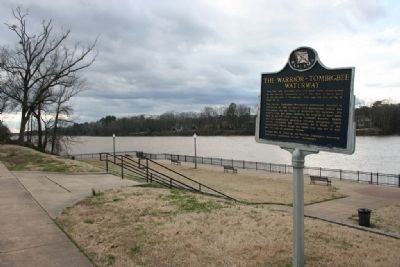
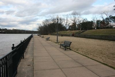
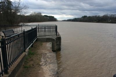
Location. 33° 13.292′ N, 87° 32.781′ W. Marker is in Tuscaloosa, Alabama, in Tuscaloosa County . Marker can be reached from Jack Warner Parkway Northeast north of Hackberry Lane. Marker is located in the Manderson Landing Park between Jack Warner Parkway Northeast and the Black Warrior River. Touch for map. Marker is in this post office area: Tuscaloosa AL 35401, United States of America. Touch for directions.
Other nearby markers. At least 8 other markers are within walking distance of this marker. Marr’s Spring (approx. half a mile away); B.B. Comer Hall, 1908 (approx. 0.6 miles away); Woods Hall, 1868 (approx. 0.6 miles away); The Gorgas-Manly Historic District (approx. 0.6 miles away); Centennial of Women 1893 - 1993 / Top 31 Women (approx. 0.6 miles away); Morgan Hall, 1910 (approx. 0.6 miles away); Bryce Hospital Cemetery #1A (approx. 0.6 miles away); Gorgas House (approx. 0.6 miles away). Touch for a list and map of all markers in Tuscaloosa.
Credits. This page was last revised on August 16, 2020. It was originally submitted on March 18, 2010, by Timothy Carr of Birmingham, Alabama. This page has been viewed 1,635 times since then and 23 times this year. Photos: 1, 2, 3, 4, 5. submitted on March 18, 2010, by Timothy Carr of Birmingham, Alabama. • Bill Pfingsten was the editor who published this page.


