Brampton in Peel Region, Ontario — Central Canada (North America)
The Etobicoke Creek
Photographed by Tim Boyd, November 2, 2025
1. The Etobicoke Creek Marker
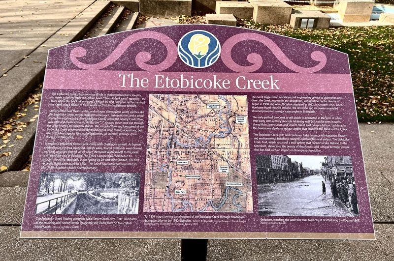
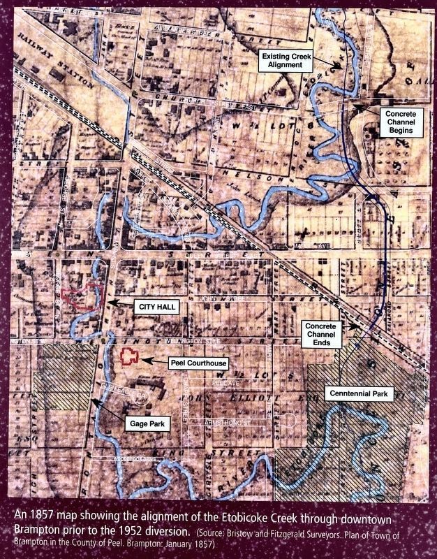
Settlers often built their hamlets and villages along inland water sources like the Etobicoke Creek, which provided sustenance, transportation and a power source for local industry. The Etobicoke Creek, unlike the nearby Credit River, was slow and meandering. Its distinctive "S" shaped curve once cut through the area where City Hall now stands. The irregular flow and low speed of the Etobicoke Creek prevented the development of large milling operations, but was still advantageous for smaller industries, As a result, a village grew along its fertile banks.
Brampton’s proximity to the Creek came with challenges as well. As human settlement in the area increased, forests were cleared, wetlands were drained and land contours altered, all of which increased water runoff to the creek and raised the risk of flooding. The Creek's
this page online
The event triggered an ambitious civil engineering project to channelize and divert the Creek away from the downtown. Construction on the diversion began in 1950 and was officially completed in 1952. In October 1954, when Hurricane Hazel reached Ontario, the diversion and its newly completed channel prevented a major catastrophe in Brampton.
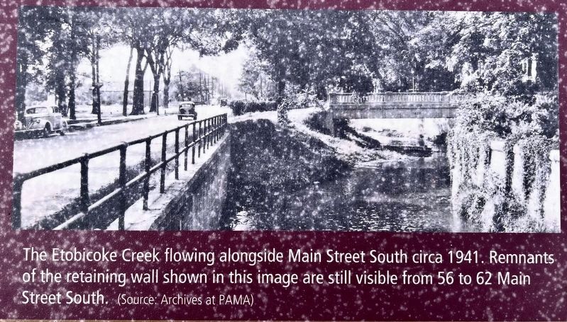
The early path of the Creek is still visible in Brampton in the form of a late 19th-early 20th century concrete retaining wall that can be seen in spots along Main Street South and Church Street East. Several historic buildings in the downtown also have unique angles that followed the curves of the Creek.
The Etobicoke Creek was and continues to be a source of recreation, beauty and environmental benefit to residents of Brampton and visitors. The Etobicoke Creek Trail, which is part of a trail system that connects Lake Ontario to the Greenbelt, showcases the beauty of this
Photographed by Tim Boyd, November 2, 2025
2. The Etobicoke Creek Marker
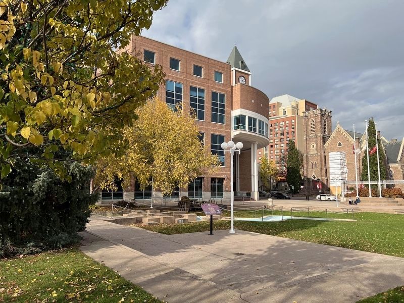
Facing northeast toward City Hall
Topics. This historical marker is listed in this topic list: Waterways & Vessels. A significant historical month for this entry is March 1948.
Location. 43° 41.074′ N, 79° 45.548′ W. Marker is in Brampton, Ontario, in Peel Region. It is at the intersection of Wellington Street West and Main Street South, on the right when traveling south on Wellington Street West. The marker is in Ken Whillans Square at the Brampton City Hall. Touch for map. Marker is at or near this postal address: 2P Wellington Street W, Brampton ON L6Y 4R2, Canada. Touch for directions.

Regionally, this marker is in Greater Toronto, specifically on the Golden Horseshoe, and in the Toronto Metropolitan Area. It is also in Central Canada. Globally, it is in North America, on the Great Lakes, in the Western Hemisphere, in the Western World, and in the Anglosphere. Historically, it finds itself in what was once a British colony, the Viceroyalty of New France, the Haudenosaunee (Iroquois) Confederacy, and Rupert’s Land.
Other nearby markers. At least 8 other markers
3. The Etobicoke Creek marker photo and caption detail (left)
Another marker is no longer nearby. Peel County Court House / Le Palais De Justice Du Comté de Peel (was about 120 meters away but has been confirmed missing).
4. The Etobicoke Creek marker photo and caption detail (centre)
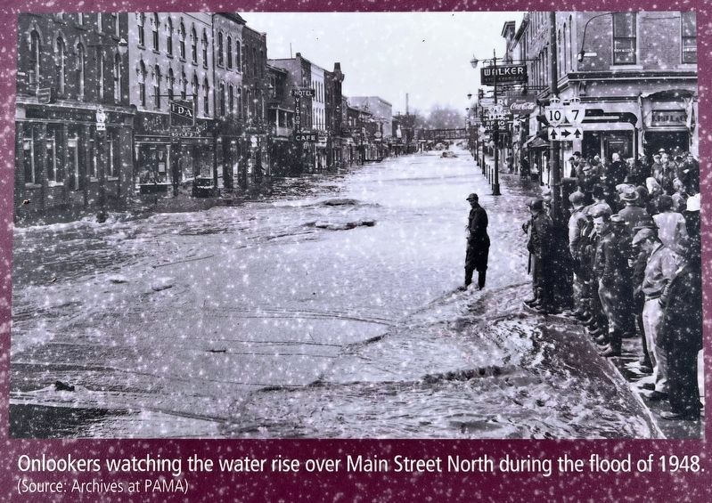
5. The Etobicoke Creek marker photo and caption detail (right)
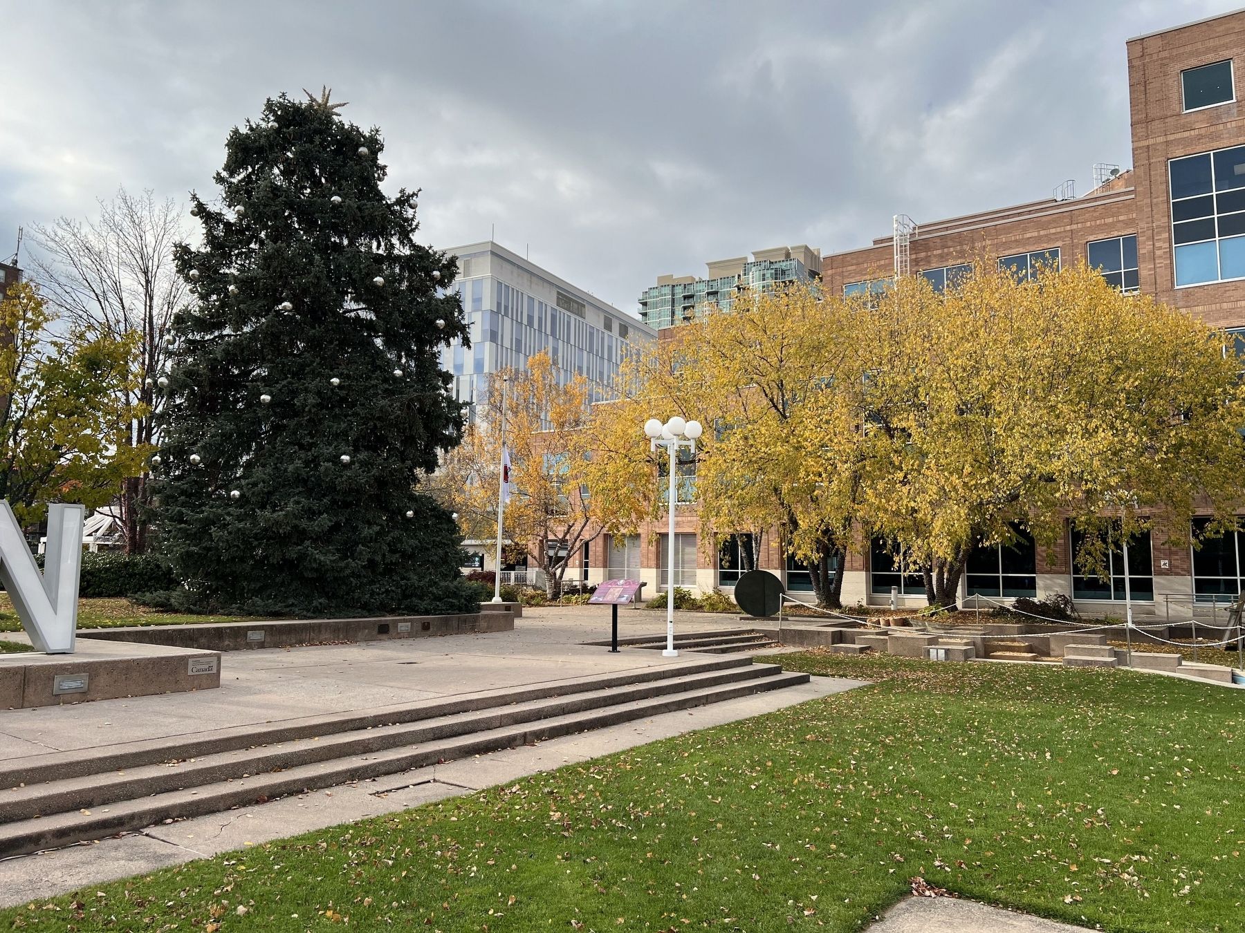
Photographed by Tim Boyd, November 2, 2025
6. The Etobicoke Creek Marker
Facing northwest
Credits. This page was last revised on November 7, 2025. It was originally submitted on November 6, 2025, by Tim Boyd of Hamilton, Ontario. This page has been viewed 50 times since then and 19 times this year. Photos: 1, 2, 3, 4, 5, 6. submitted on November 6, 2025, by Tim Boyd of Hamilton, Ontario. • Andrew Ruppenstein was the editor who published this page.
