Mit-Rahineh in Badrshein, Giza Governorate, Egypt — مصر (Northeast Africa)
Apries Stela
Photographed by James Hulse, October 8, 2024
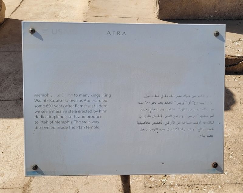
1. Apries Stela Marker
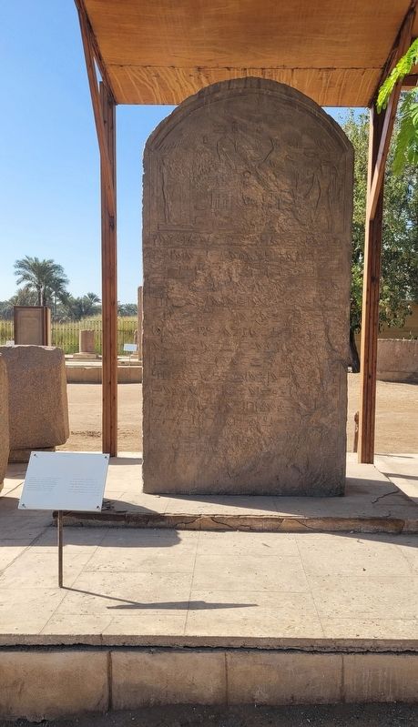
 Memphis was home to many kings. King Waa-ib-Ra, also known as Apries, ruled some 600 years after Ramesses II. Here we see a massive stela erected by him dedicating lands, serfs and produce to Ptah of Memphis. The stela was discovered inside the Ptah temple.
امر الكثير من ملوك مصر القديمة في منف تولى واج ایب رع" أو "أبريس" الحكم بعد نحو ٦٠٠ سنة من رفاه رمسيس الثاني" تشاهد هنا لوحة ضخمة.
أمر يحبها "أبريس". ويوضح

Click or scan to see
this page online
النص المنقوش عليها أن الملك قد أوقف مساحة من الأراضي، تخصص محاصيلها لمعبد "بتاح" بمنف. وقد اكتشفت هذه اللوحة داخل معبد بتاح.
أمر يحبها "أبريس". ويوضح
this page online
Erected by USAID and AERA.
Topics. This historical marker is listed in this topic list: Anthropology & Archaeology.
Location. 29° 50.966′ N, 31° 15.275′ E. Marker is in Mit-Rahineh, Giza Governorate, in Badrshein. It is on Tariaq Bedon Esm half a kilometer east of Mariotia Road. The marker is located on the grounds of the Ruins of Memphis archaeological site. Touch for map.
Photographed by James Hulse, October 8, 2024
2. Apries Stela Marker

Regionally, it is in Africa, specifically in North Africa, in the Middle East, on the Red Sea, and in a coastal Mediterranean country. Historically, it finds itself in what was once the Byzantine Empire, the Ottoman Empire, a British colony, and the Roman Empire.
Other nearby markers. At least 8 other markers are within 5 kilometers of this marker, measured as the crow flies: Memphis (within shouting distance of this marker); Excavations at Kom El-Fakhry (within shouting distance of this marker); Step Pyramid Complex (approx. 4.1 kilometers away); Enclosure Wall (approx. 4.2 kilometers away); Colonnade Entrance (approx. 4.2 kilometers away); South Court (approx. 4.2 kilometers away); The Step Pyramid / الهرم المدرج (approx. 4.3 kilometers away); The Southern Tomb (approx. 4.3 kilometers away). Touch for a list and map of all markers in Mit-Rahineh.
Also see . . . Apries. Wikipedia
Apries (Ancient Greek: Ἁπρίης) is the name by which Herodotus: II.161 and Diodorus: I.68 designate Wahibre Haaibre, a pharaoh of Egypt (589–570 bce), the fourth king (counting from Psamtik I) of the Twenty-sixth dynasty of Egypt. He was equated with the Ouaphris (Οὔαφρις) of Manetho, who correctly records that he reigned for 19 years. Apries is also called Hophra in Jeremiah 44:30 (Hebrew: חָפְרַע, Modern: Ḥofra', Tiberian: H̱op̄ra'; Ancient Greek: Ουαφρη[ς], romanized: Ouaphre)(Submitted on November 8, 2025, by James Hulse of Medina, Texas.)
Photographed by James Hulse, October 8, 2024
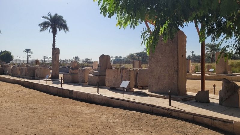
3. The view of the Apries Stela Marker
Credits. This page was last revised on November 8, 2025. It was originally submitted on November 6, 2025, by James Hulse of Medina, Texas. This page has been viewed 40 times since then and 17 times this year. Photos: 1, 2, 3. submitted on November 8, 2025, by James Hulse of Medina, Texas.
