
Omaha in Douglas County, Nebraska — The American Midwest (Upper Plains)
Fort Atkinson
Photographed by Cosmos Mariner, September 16, 2025
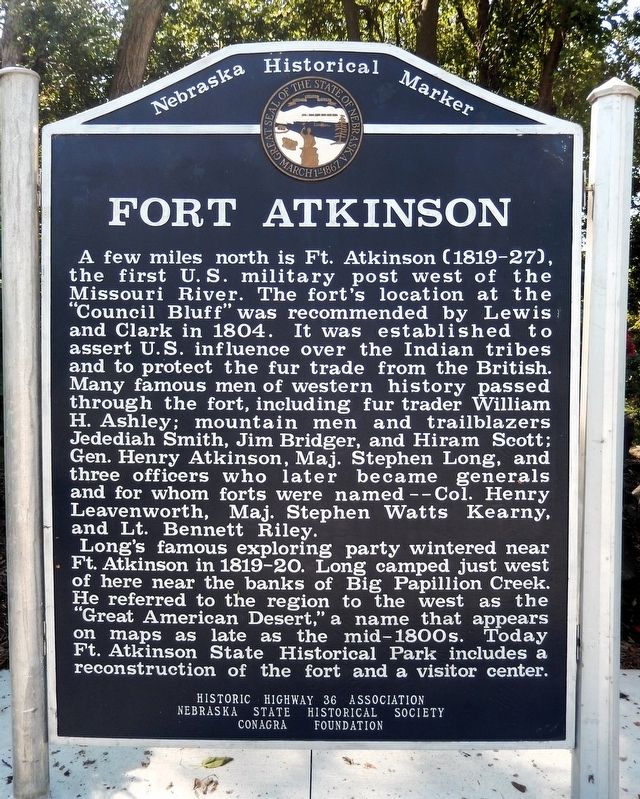
1. Fort Atkinson Marker
A few miles north is Ft. Atkinson (1819-27), the first U.S. military post west of the Missouri River. The fort’s location at the “Council Bluff” was recommended by Lewis and Clark in 1804. It was established to assert U.S. influence over the Indian tribes and to protect the fur trade from the British. Many famous men of western history passed through the fort, including fur trader William H. Ashley; mountain men and trailblazers Jedediah Smith, Jim Bridger, and Hiram Scott; Gen. Henry Atkinson, Maj. Stephen Long, and three officers who later became generals and for whom forts were named — Col. Henry Leavenworth, Maj. Stephen Watts Kearny, and Lt. Bennett Riley.
Long’s famous exploring party wintered near Ft. Atkinson in 1819-20. Long camped just west of here near the banks of Big Papillion Creek. He referred to the region to the west as the “Great American Desert,” a name that appears on maps as late as the mid-1800s. Today Ft. Atkinson State Historical Park includes a reconstruction of the fort and a visitor center.
Erected by Historic Highway 36 Association, Nebraska State Historical Society, and Conagra Foundation.
this page online
Topics and series. This historical marker is listed in these topic lists: Exploration • Forts and Castles • Indigenous Peoples and Communities • Industry & Commerce. In addition, it is included in the Nebraska State Historical Society series list. A significant historical year for this entry is 1819.
Location. 41° 21.865′ N, 96° 3.217′ W. Marker is in Omaha, Nebraska, in Douglas County. It can be reached from Bennington Road (State Highway 36) 0.4 miles east of North 96th Street, on the right when traveling east. The marker is at the Lake Cunningham Recreation Area north entrance parking lot. Touch for map. Marker is in this post office area: Omaha NE 68122, United States of America. Touch for directions.

Regionally, this marker is in Eastern Nebraska. It is also in the American Midwest, in the Lewis & Clark Corridor, in the Corn Belt, and on the prairies. Globally, it is in North America, the Western Hemisphere, the Western World, and the Anglosphere. Historically, it finds itself in what was once the Louisiana Purchase.
Other nearby markers. At least 8 other markers are within 5 miles
Photographed by Cosmos Mariner, September 16, 2025
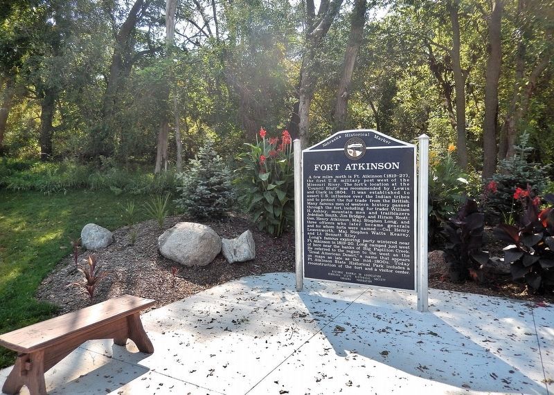
2. Fort Atkinson Marker
The marker is at the Lake Cunningham Recreation Area north entrance parking lot.
Another marker is no longer nearby. The Florence Mill (was approx. 4.9 miles away but has been confirmed missing).
Related markers. Click here for a list of markers that are related to this marker. Fort Atkinson
Also see . . .
1. Fort Atkinson (Wikipedia).
Excerpt: Located just east of present-day Fort Calhoun, Nebraska, the fort was erected in 1819 and abandoned in 1827. The site is now known as Fort Atkinson State Historical Park and is a National Historic Landmark. A replica fort was constructed by the state at the site during the 1980s–1990s.(Submitted on November 7, 2025, by Cosmos Mariner of Cape Canaveral, Florida.)
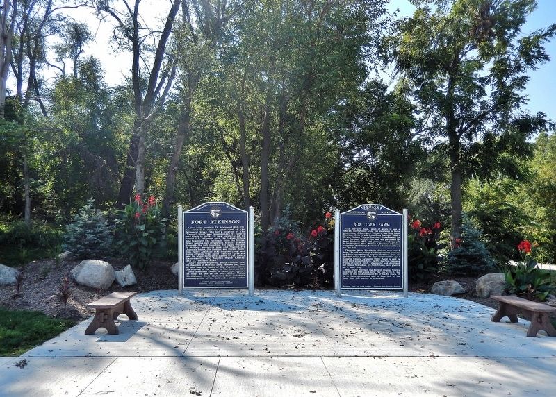
The post, which included soldiers, traders, trappers, and other frontierpeople, has been credited by the Nebraska State Legislature as the first town in Nebraska. Founded almost 30 years before the creation of the Nebraska Territory, Fort Atkinson had more than 1,000 residents. It included a brickyard, lime kiln, stone quarry, grist mill, saw mill, and cooper shop.Photographed by Cosmos Mariner, September 16, 20253. Fort Atkinson MarkerThis is the leftmost of 2 Nebraska Historical State Historical Society markers at this location.
2. Fort Atkinson State Historical Park (Fort Atkinson State Historical Park website).
Excerpt:(Submitted on November 7, 2025, by Cosmos Mariner of Cape Canaveral, Florida.)
• Originally established as "Camp Missouri" just upriver in 1819. Floods in the spring of 1820 led to the construction of the permanent fort atop the original "Council Bluff."
• Presidents during time of fort: James Monroe, John Quincy Adams
• Nebraska firsts at Fort Atkinson: first military post, school, library, and large scale agriculture/livestock operation
• Population: At its height, Fort Atkinson housed nearly 1/4 of the standing US Army (approximately 1,200 soldiers); roughly that many civilians lived just beyond the wall of the garrison.
• Primary purpose: To protect the American fur trade by guarding the "gateway to the west."
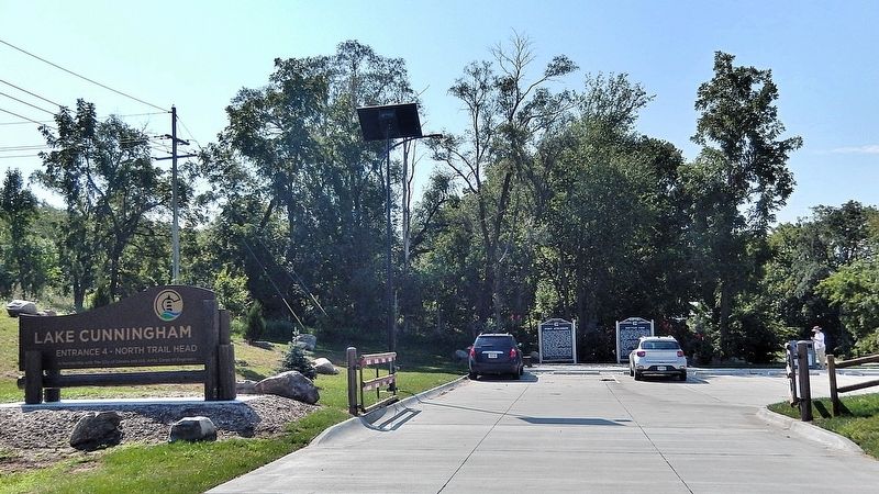
• The Missouri river originallyflowed just below the east bluff of the fort. Today, its channel lies some three miles to the east.Photographed by Cosmos Mariner, September 16, 20254. Lake Cunningham Recreation Area — north entranceLooking south from Bennington Road (State Highway 36). The marker is near the parking lot entrance.
• Native Tribes: Pawnee (Gale's book), Omaha, Osage, Missouria, Otoe
Credits. This page was last revised on November 7, 2025. It was originally submitted on November 7, 2025, by Cosmos Mariner of Cape Canaveral, Florida. This page has been viewed 92 times since then and 57 times this year. Photos: 1, 2, 3, 4. submitted on November 7, 2025, by Cosmos Mariner of Cape Canaveral, Florida.
