Near Bishop in Inyo County, California — The American West (Pacific Coastal)
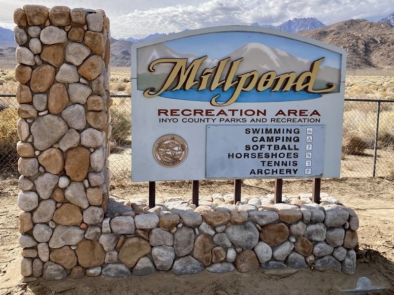
Millpond Recreation Area
Photographed by Craig Baker, November 5, 2025
1. Millpond Recreation Area Marker
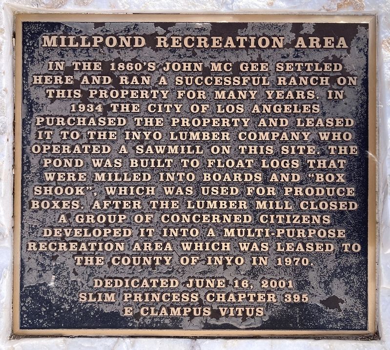
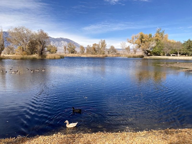
In the 1860's John Mc Gee settled here and ran a successful ranch on this property for many years. In 1934 the city of Los Angeles purchased the property and leased it to the Inyo Lumber Company who operated a sawmill on this site. The pond was built to float logs that were milled into boards and "box shook", which was used for produce boxes. After the lumber mill closed, a group of concerned citizens developed it into a multi-purpose recreation area which was leased to the County of Inyo in 1970.
Erected 2001 by Slim Princess Chapter 395 E Clampus Vitus.
Topics and series. This historical marker is listed in these topic lists: Industry & Commerce • Parks & Recreational Areas. In addition, it is included in the E Clampus Vitus series list. A significant historical year for this entry is 1934.
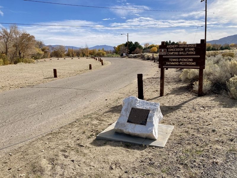
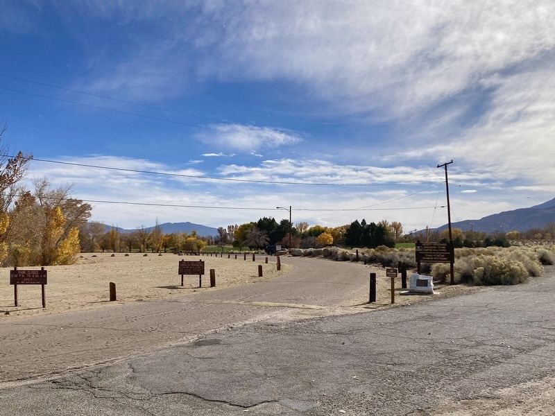
Location. 37° 22.785′ N, 118° 29.748′ W. Marker is near Bishop, California, in Inyo County. It is on Abelor Road south of Sawmill Road, in the median. Touch for map. Marker is in this post office area: Bishop CA 93514, United States of America. Touch for directions.

Regionally, this marker is in California’s
this page online
Other nearby markers. At least 8 other markers are within 6 miles of this marker, measured as the crow flies: Lynching of the Convicts (approx. 2.3 miles away); San Francis Ranch (approx. 2.7 miles away); Bishop Creek Battleground (approx. 2.8 miles away); Izaak Walton Park (approx. 3.2 miles away); Buttermilk Road (approx. 3.3 miles away); Manor Market (approx. 3½ miles away); The Mule (approx. 5.3 miles away); First United Methodist Church of Bishop (approx. 5½ miles away). Touch for a list and map of all markers in Bishop.
Regarding Millpond Recreation Area. A "box shook" is a set of pieces for making a wooden box.
Photographed by Craig Baker, November 5, 2025
2. Millpond Recreation Area Marker
Photographed by Craig Baker, November 5, 2025
3. Millpond Recreation Area Marker
Photographed by Craig Baker, November 5, 2025
4. Millpond Recreation Area
Photographed by Craig Baker, November 5, 2025
5. Millpond Recreation Area
Credits. This page was last revised on November 8, 2025. It was originally submitted on November 8, 2025, by Craig Baker of Sylmar, California. This page has been viewed 92 times since then and 62 times this year. Photos: 1, 2, 3, 4, 5. submitted on November 8, 2025, by Craig Baker of Sylmar, California.
